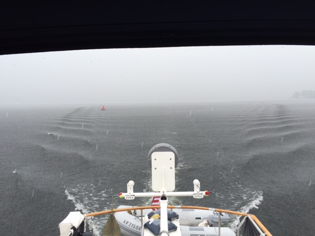
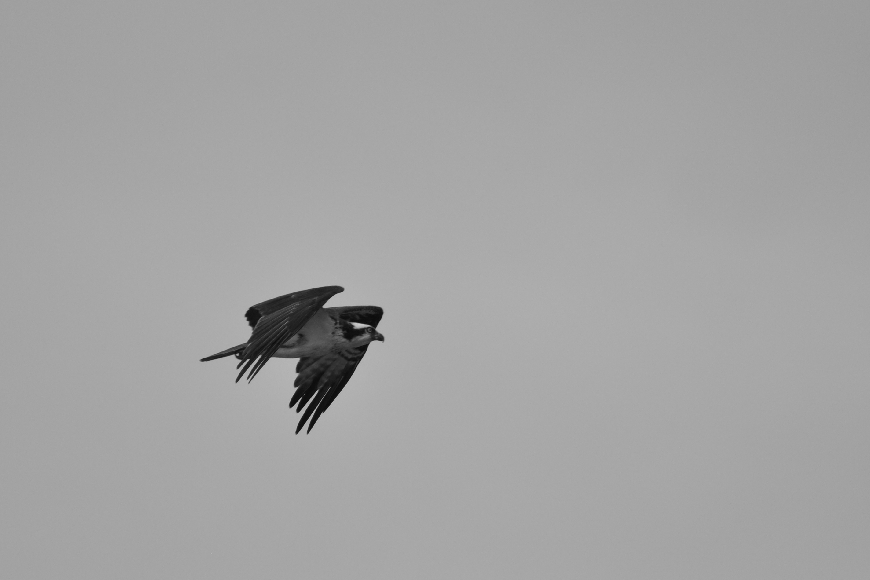
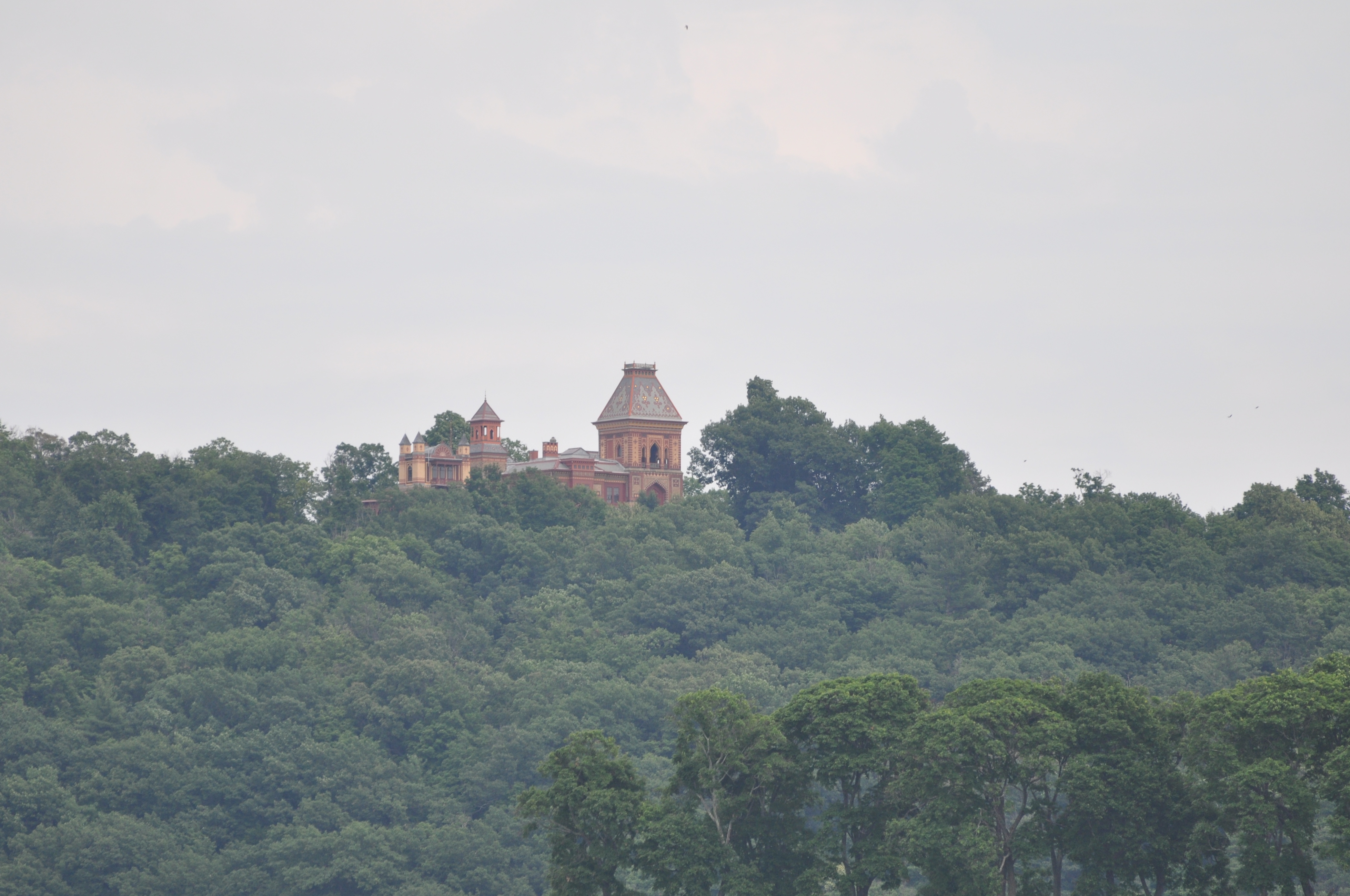
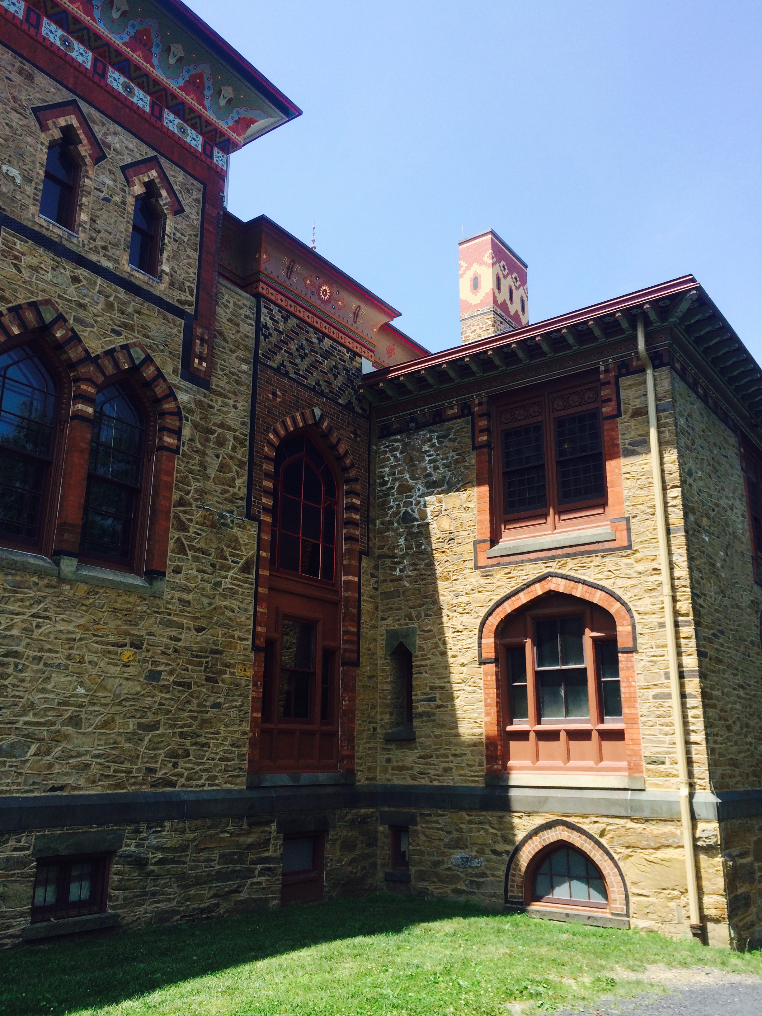
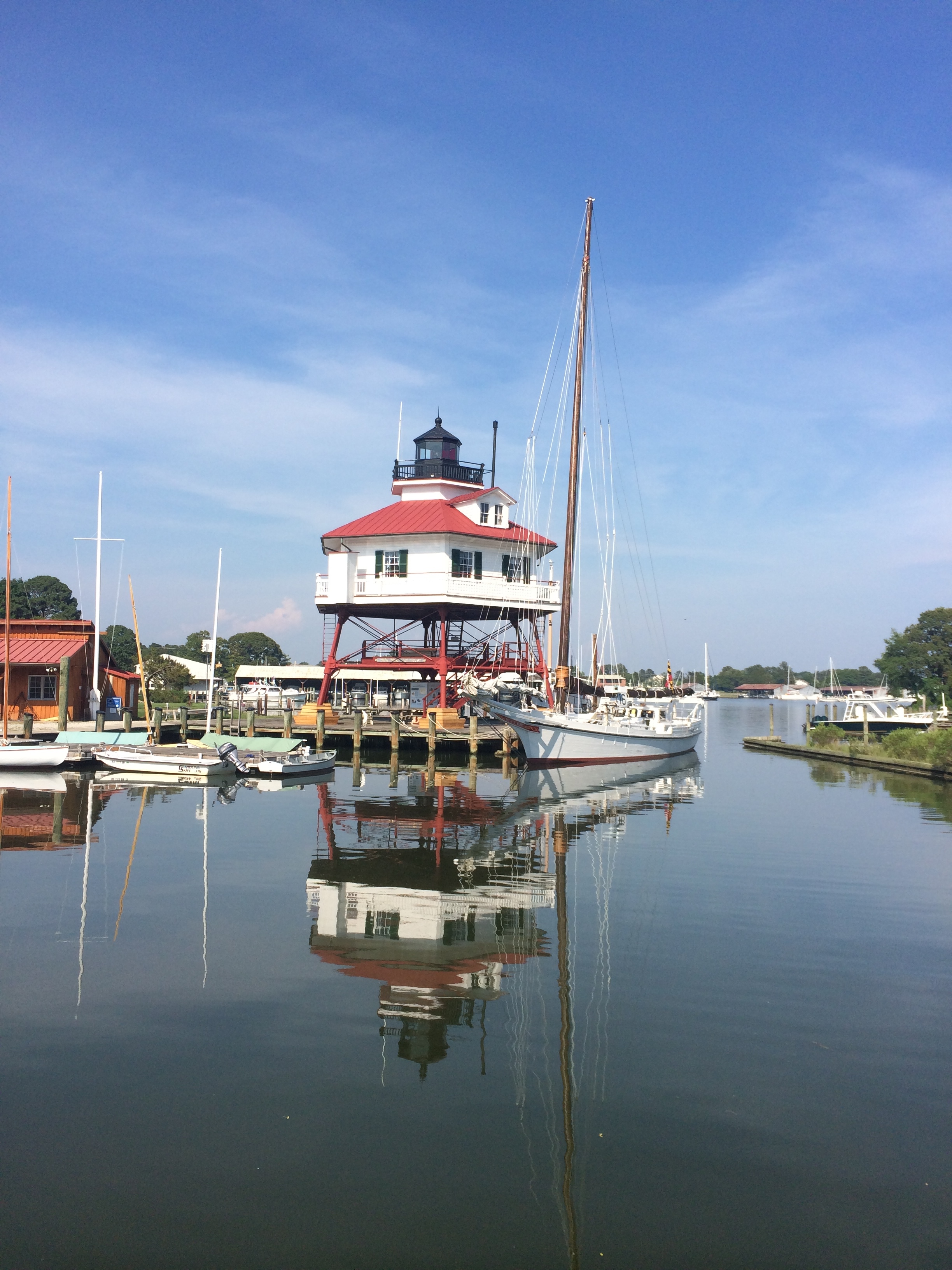
It is day 14 and raining. With any luck, it will not be a downpour, but our plan is to visit Herkimer, NY, home of Herkimer Diamonds. Actually, the mineral is technically quartz, but it is double terminated (meaning that the crystal habit has points on both ends) and is so clear that the folks of NY prefer to call them diamonds.
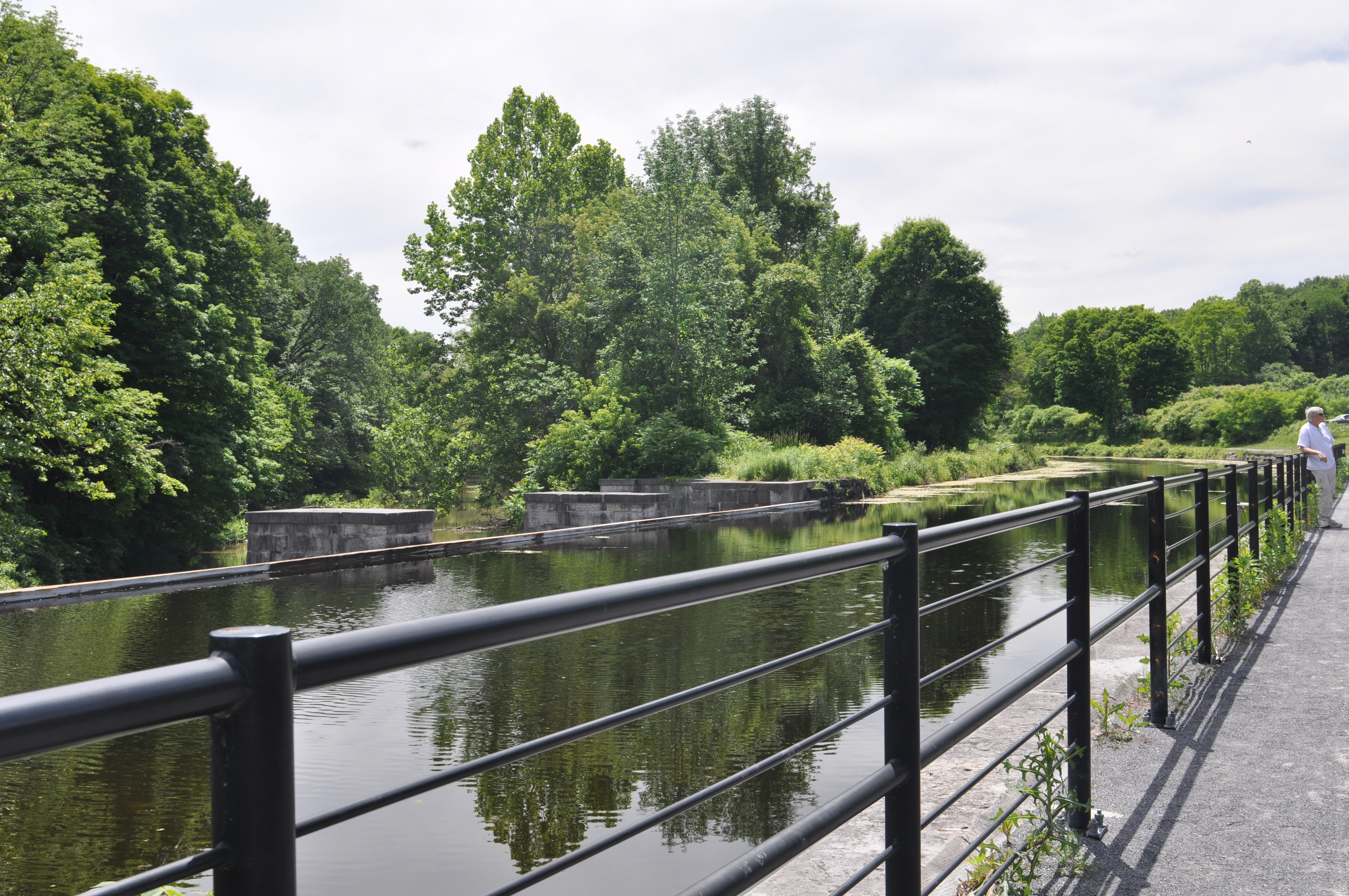
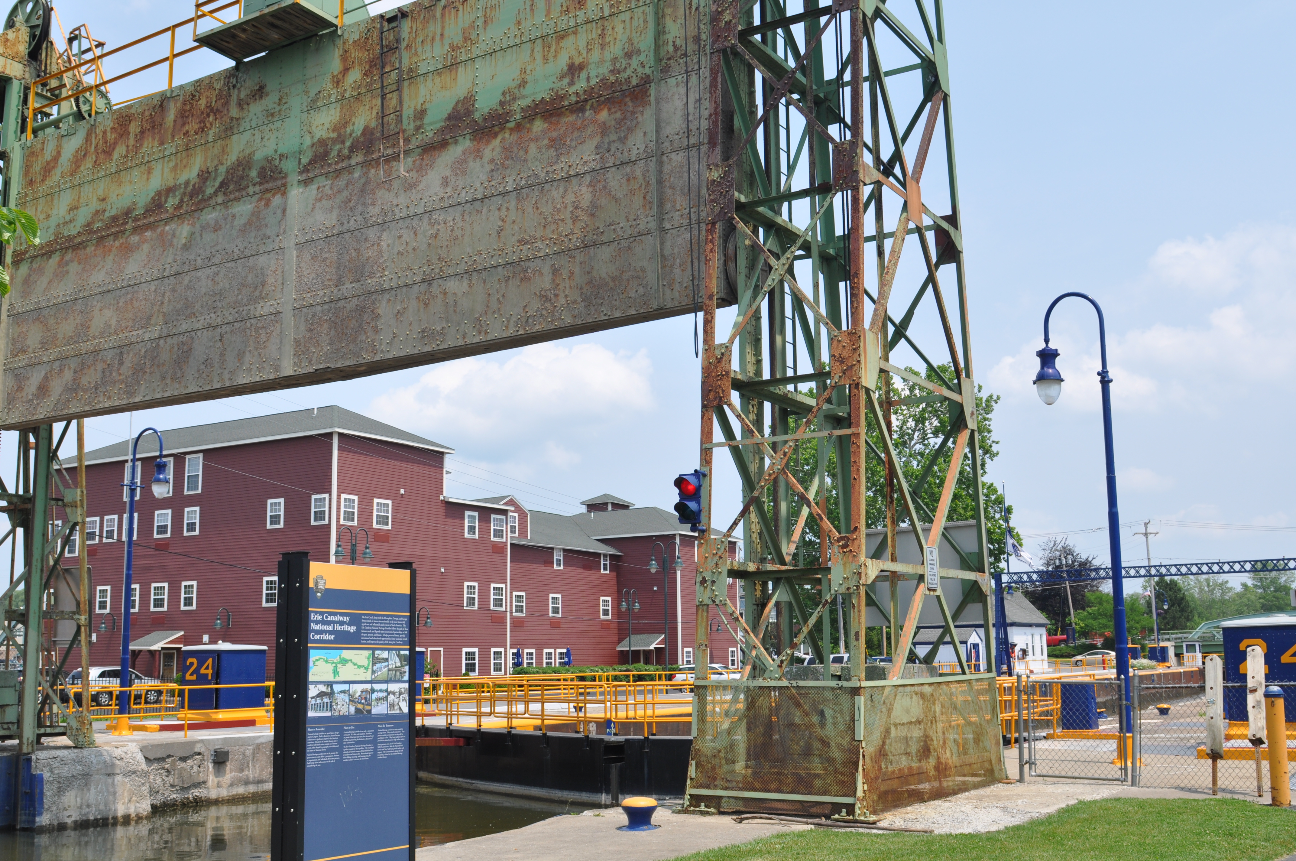
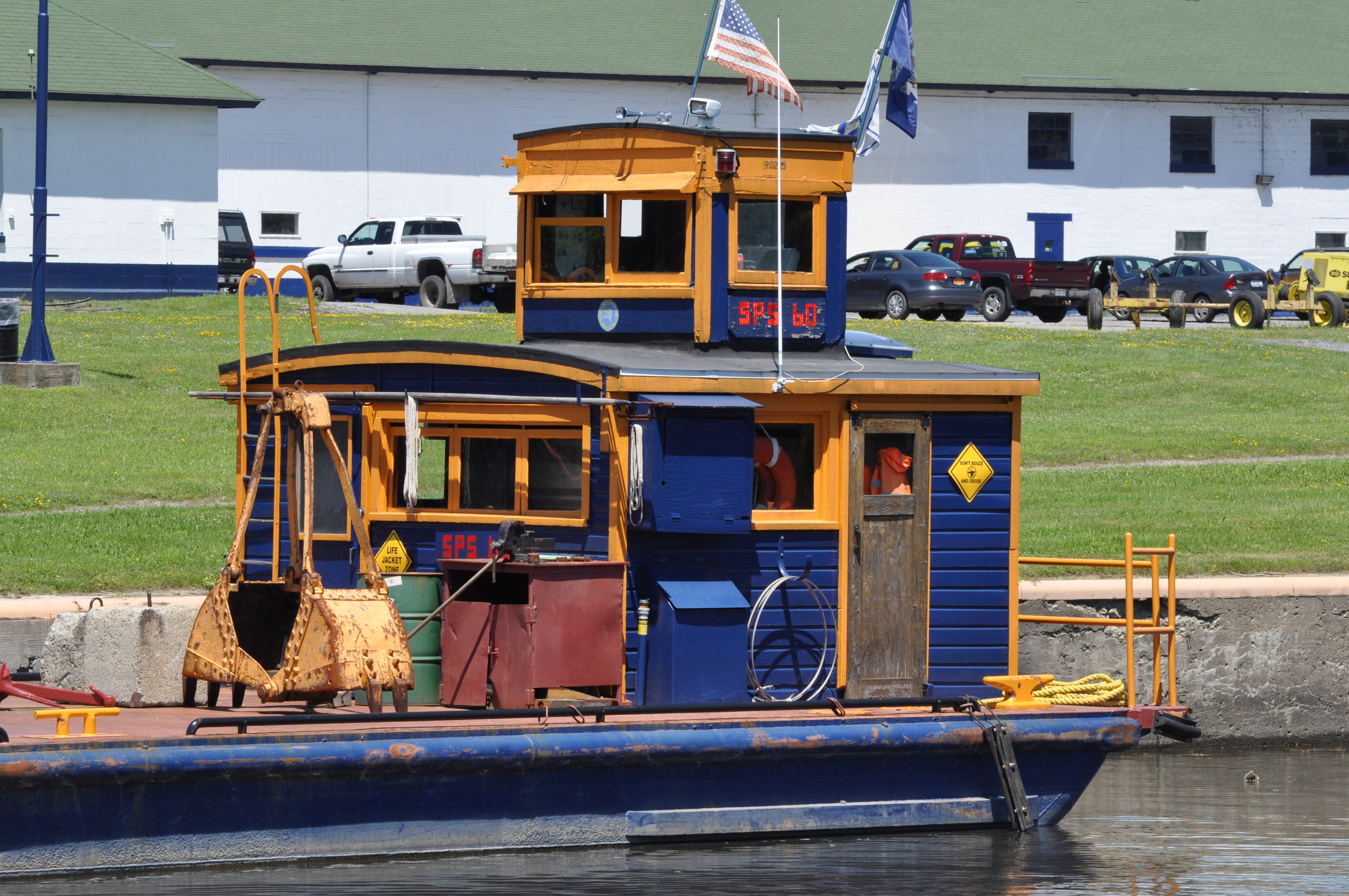
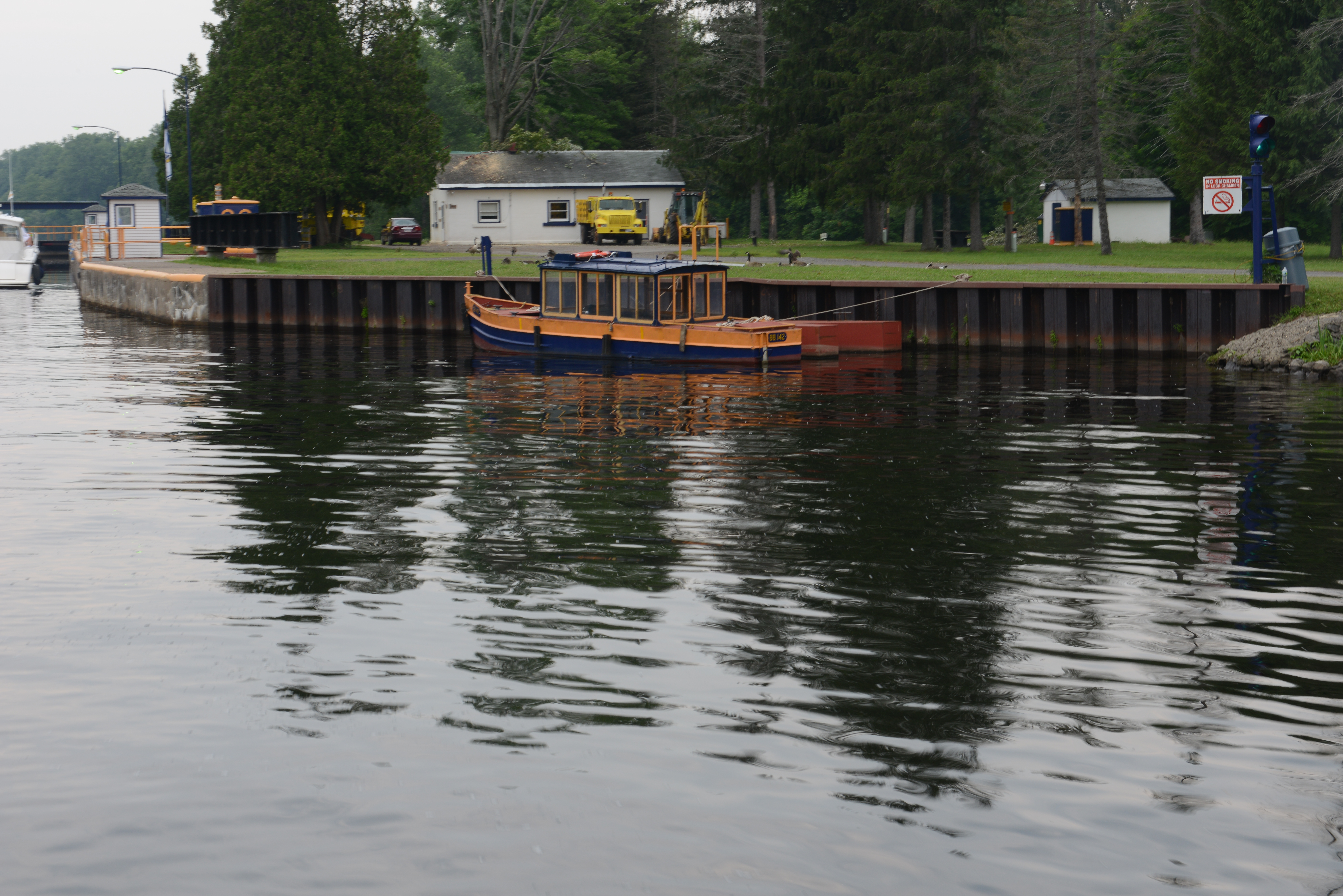
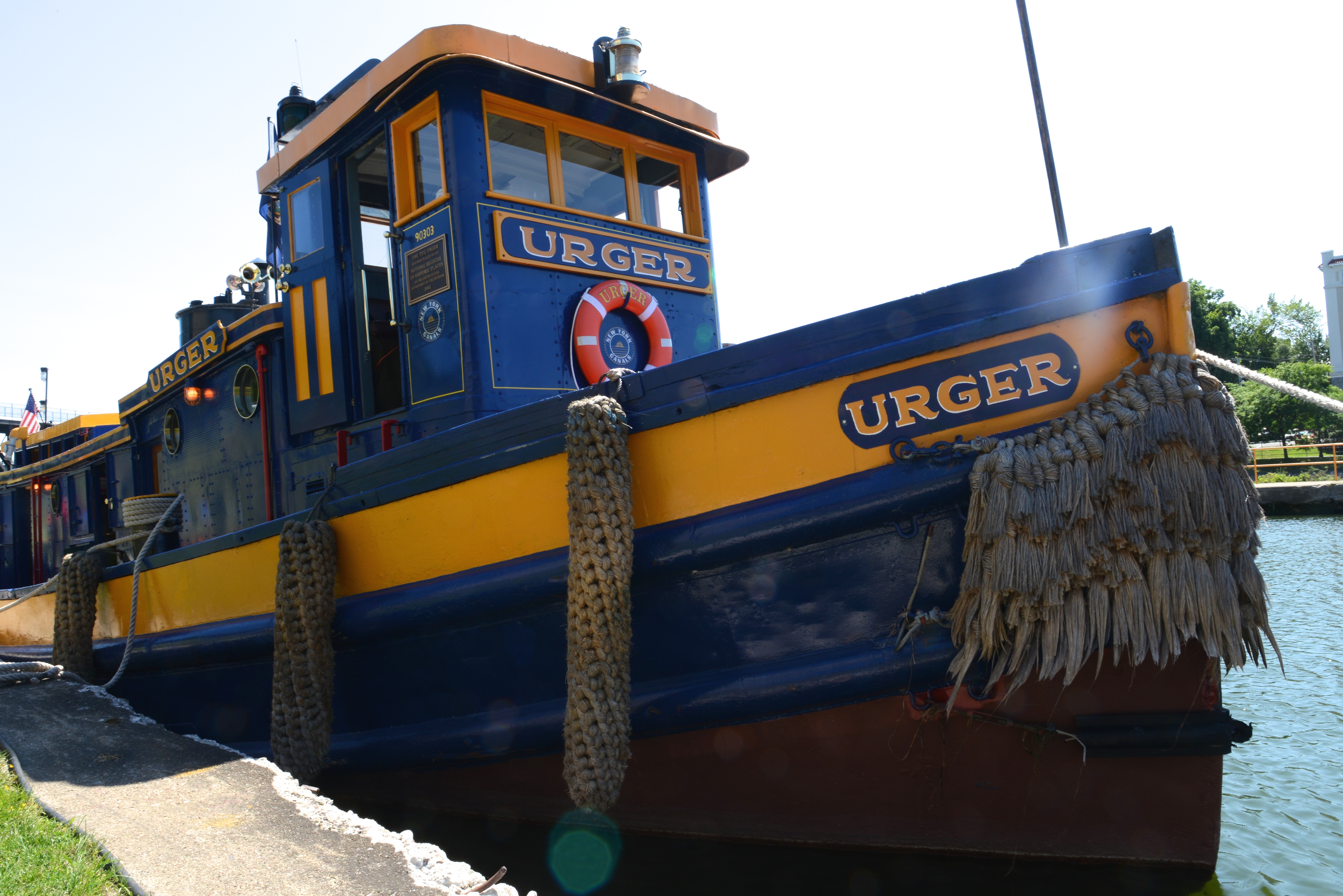
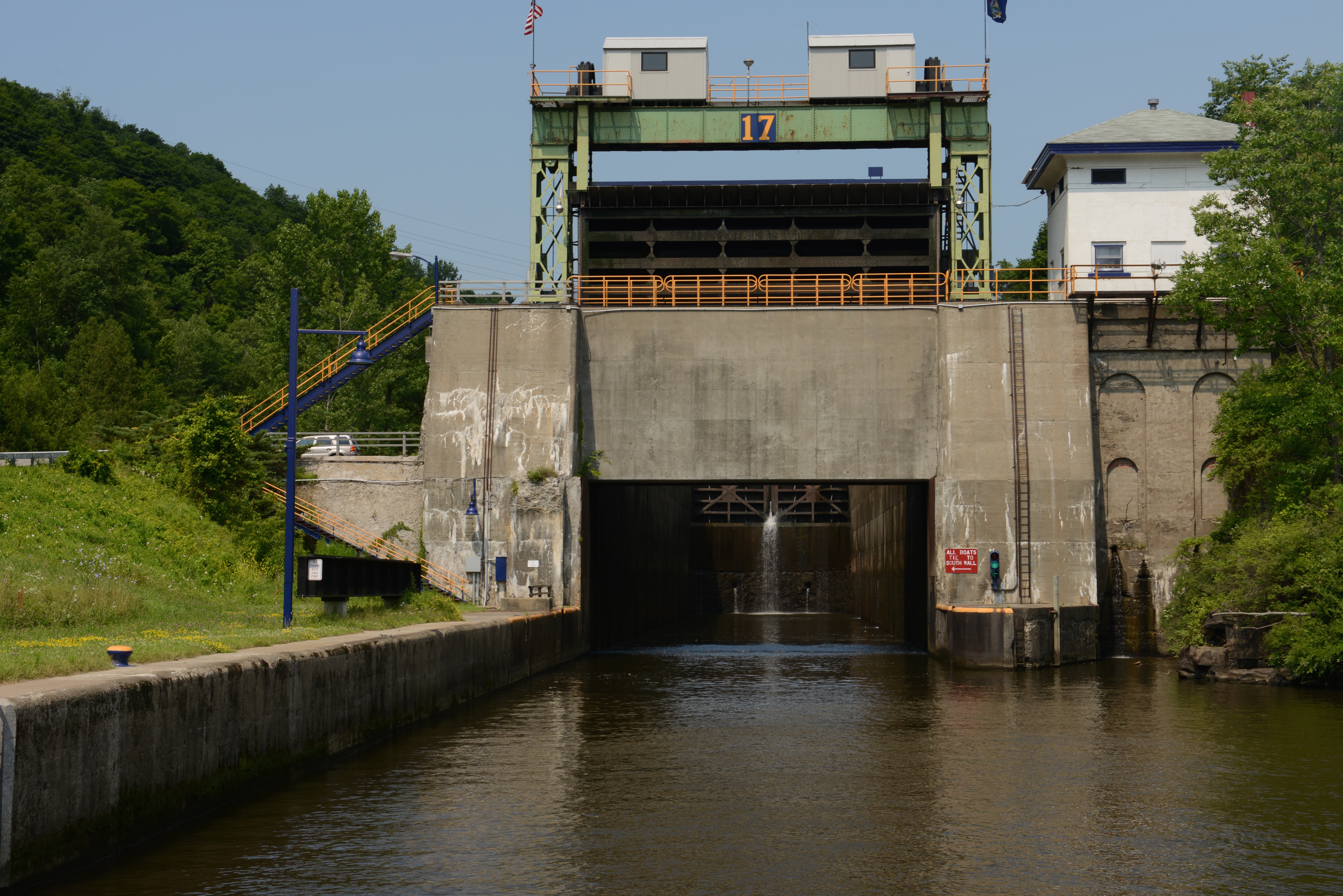
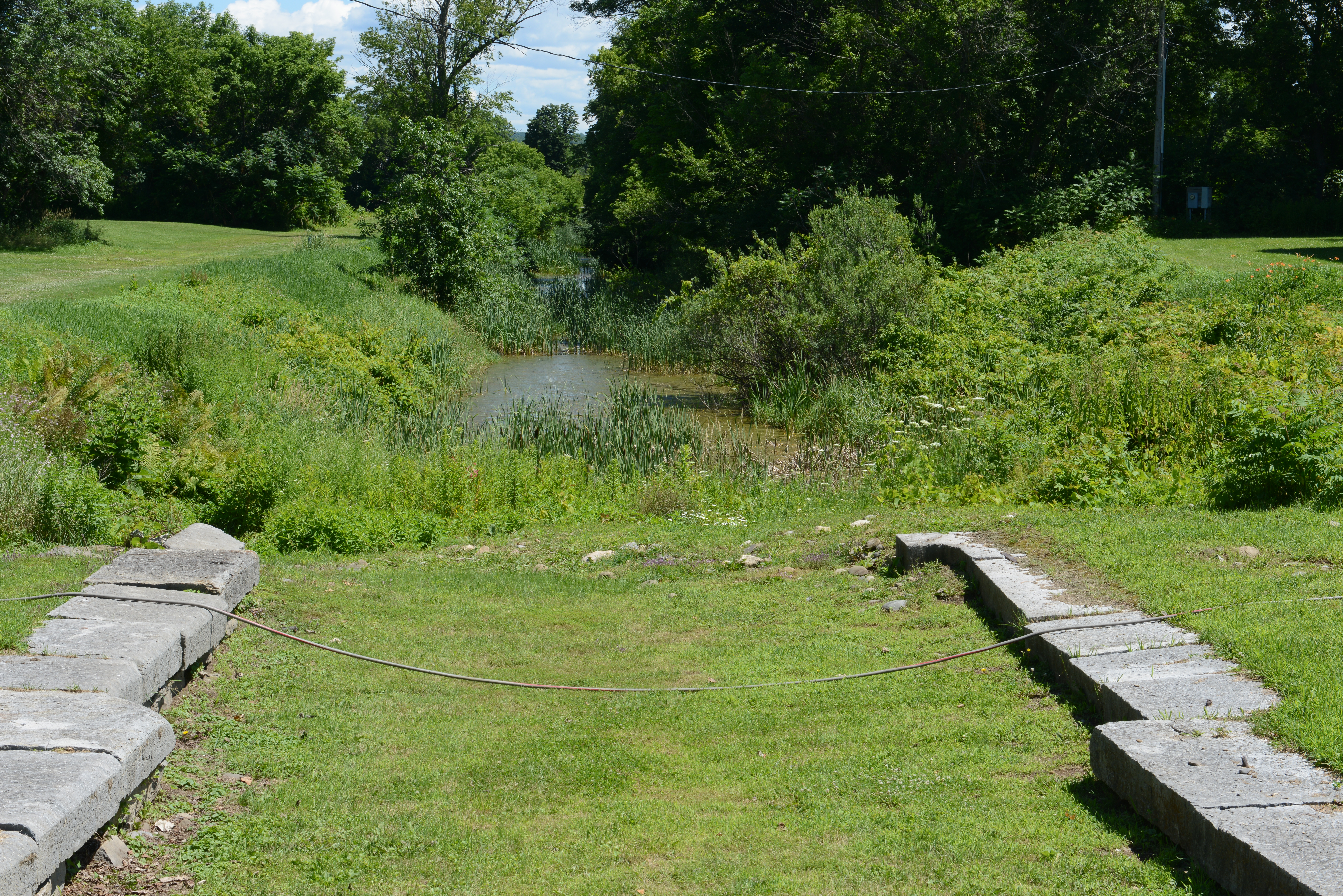
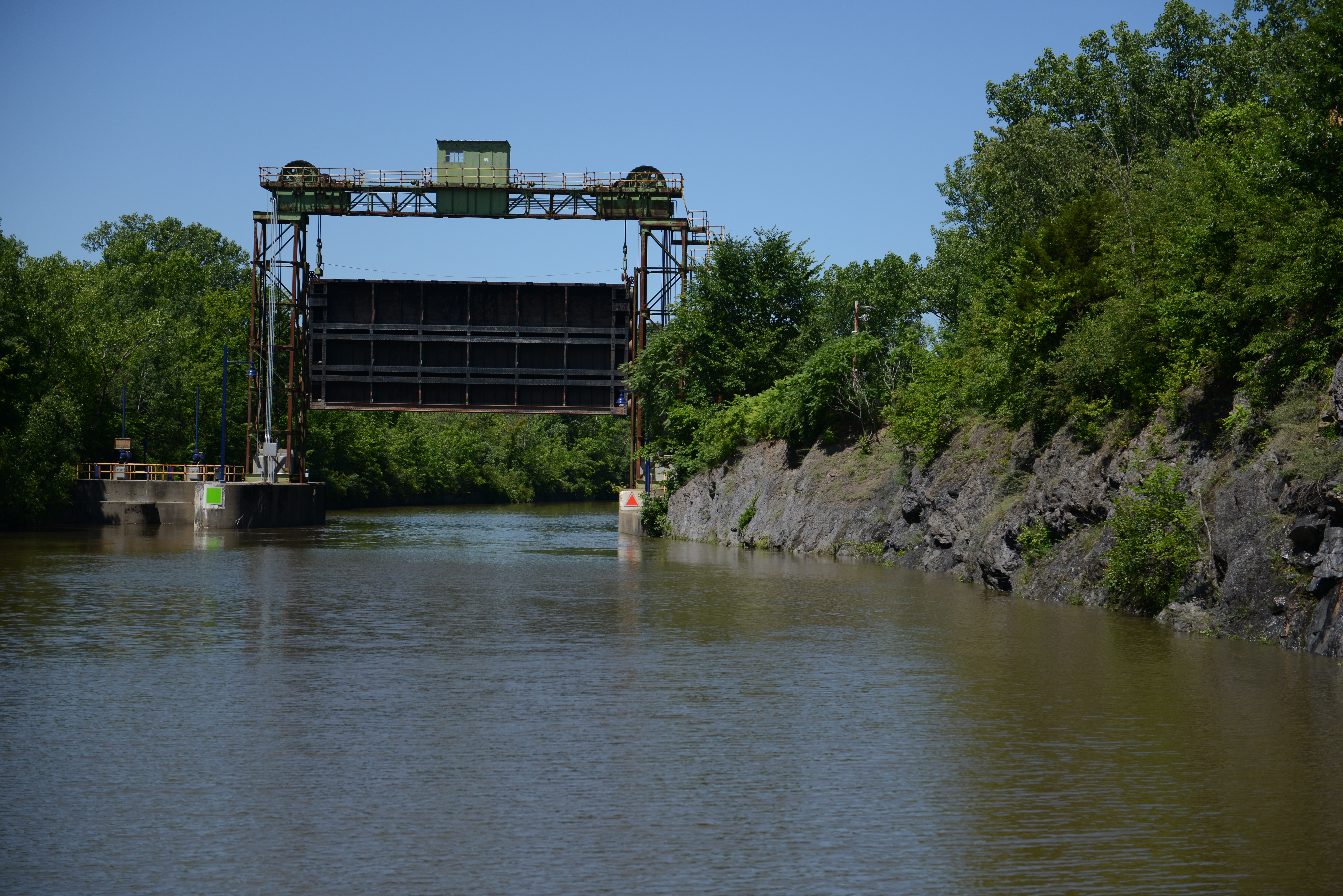
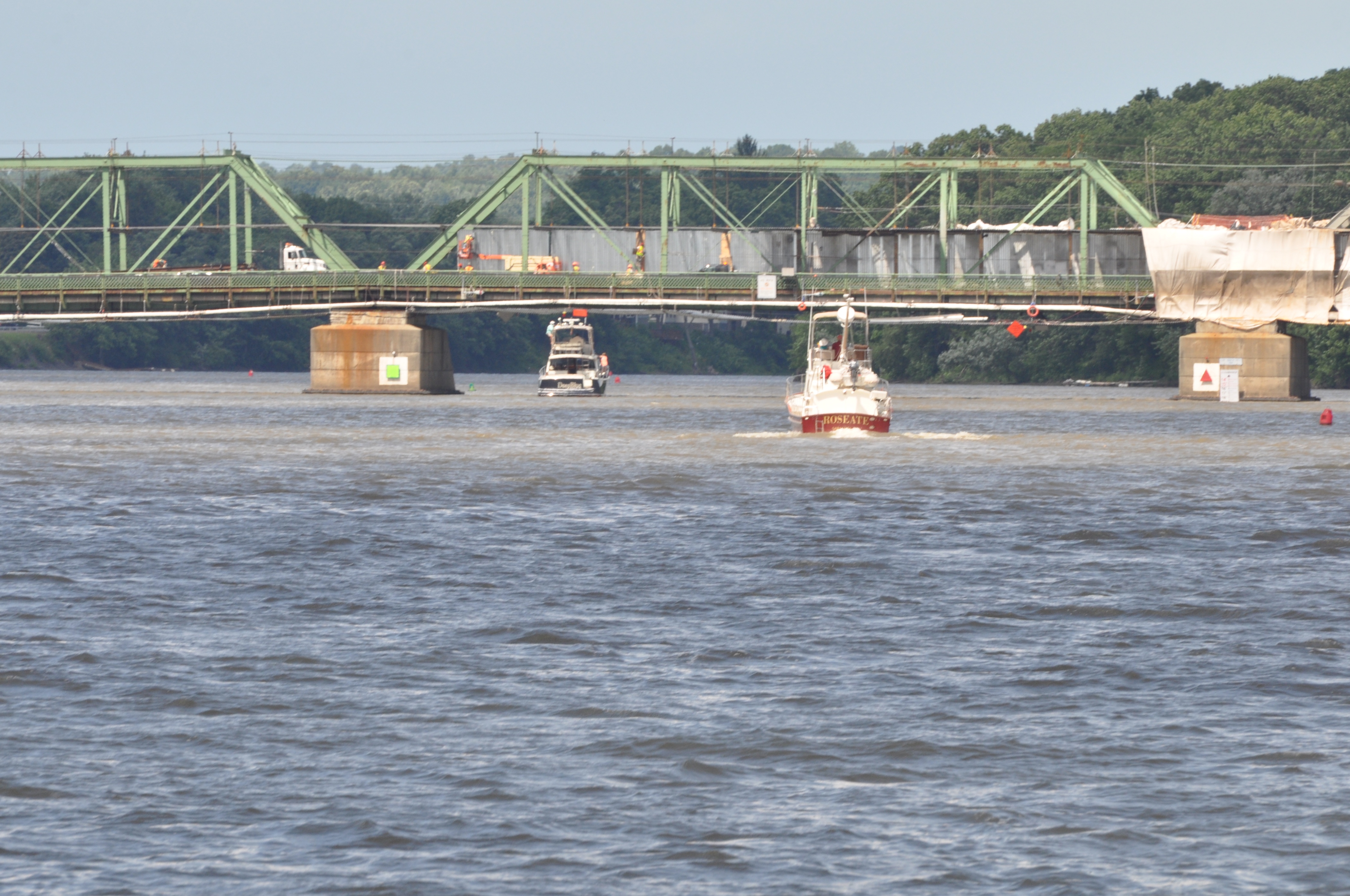
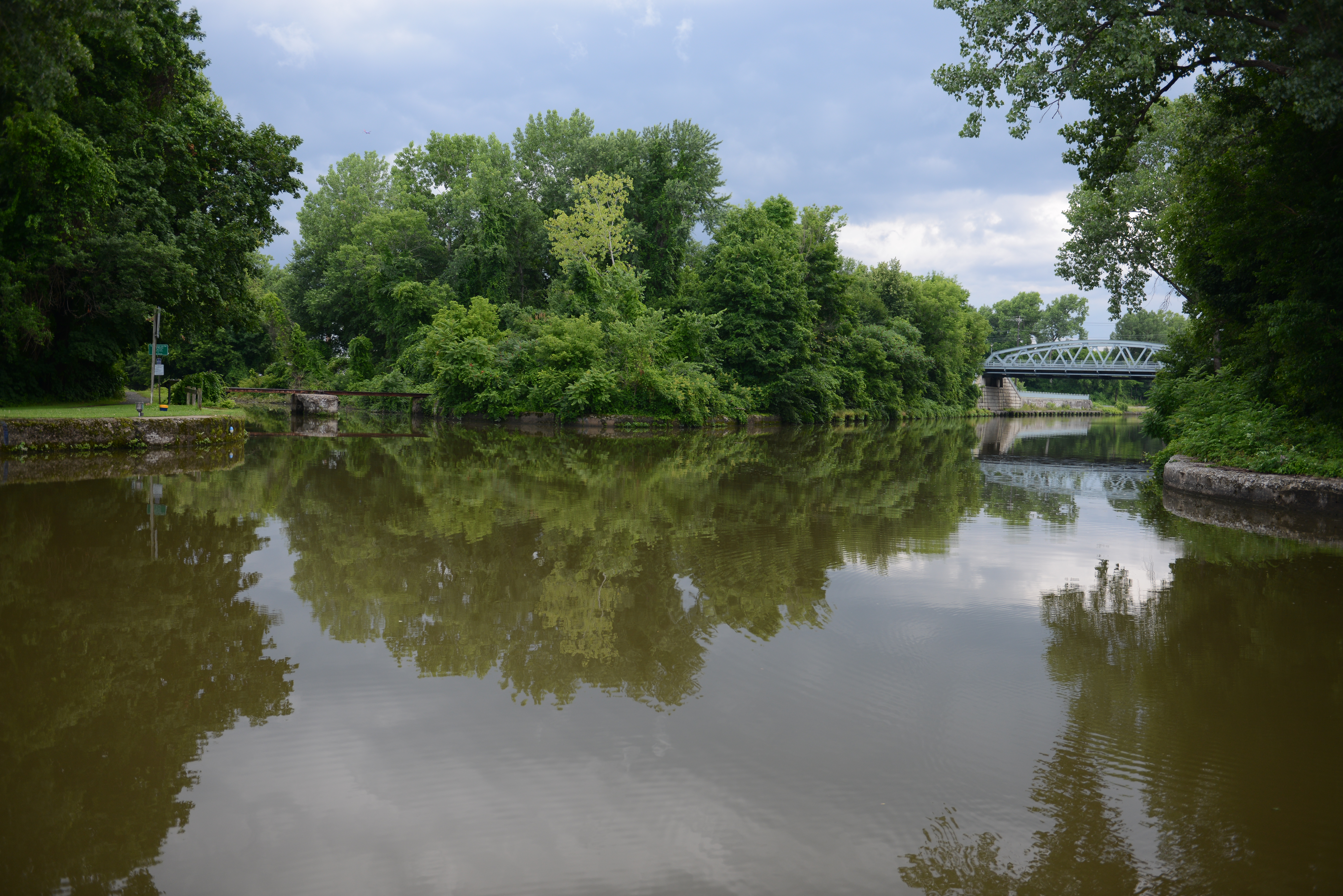
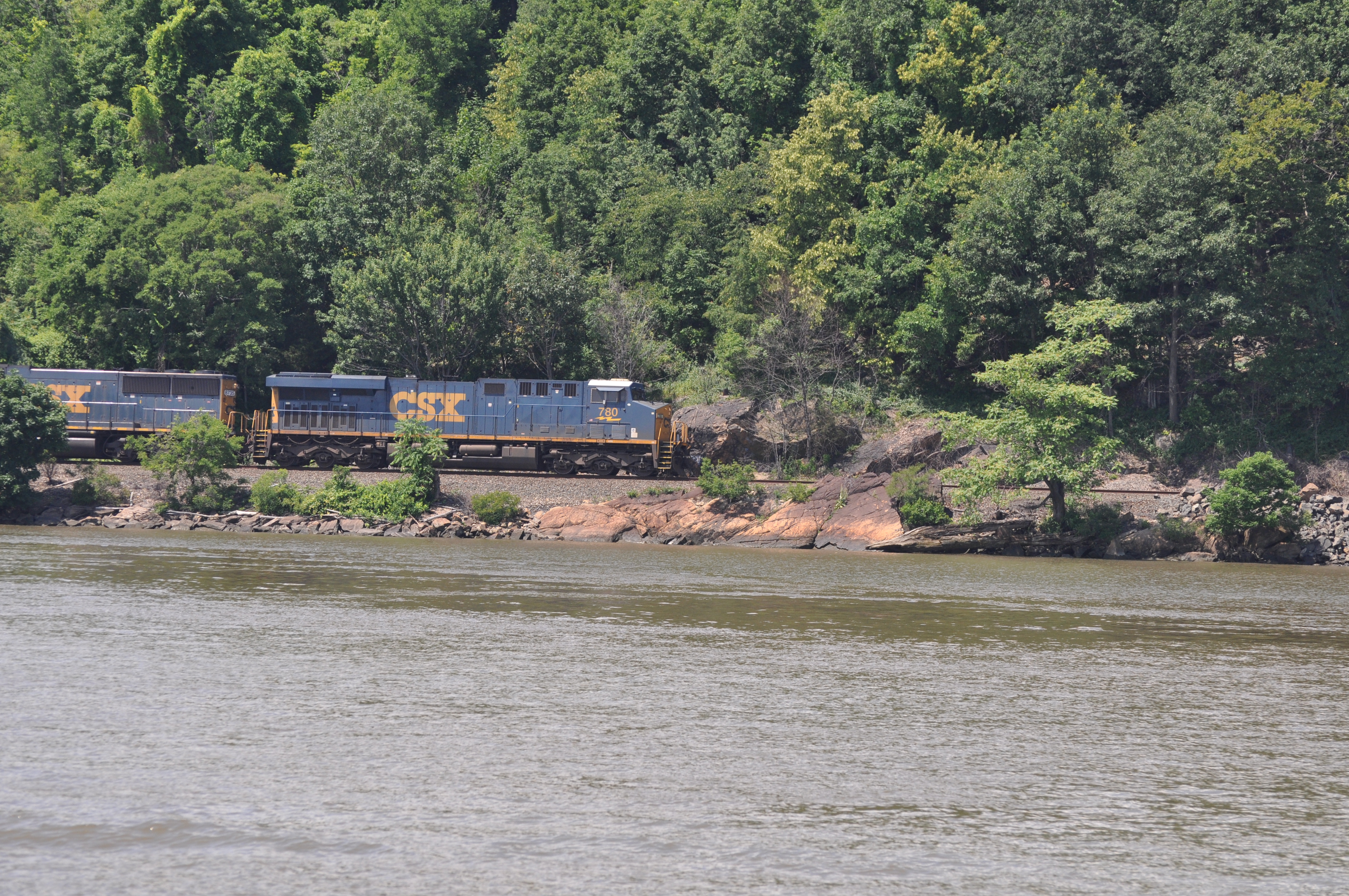
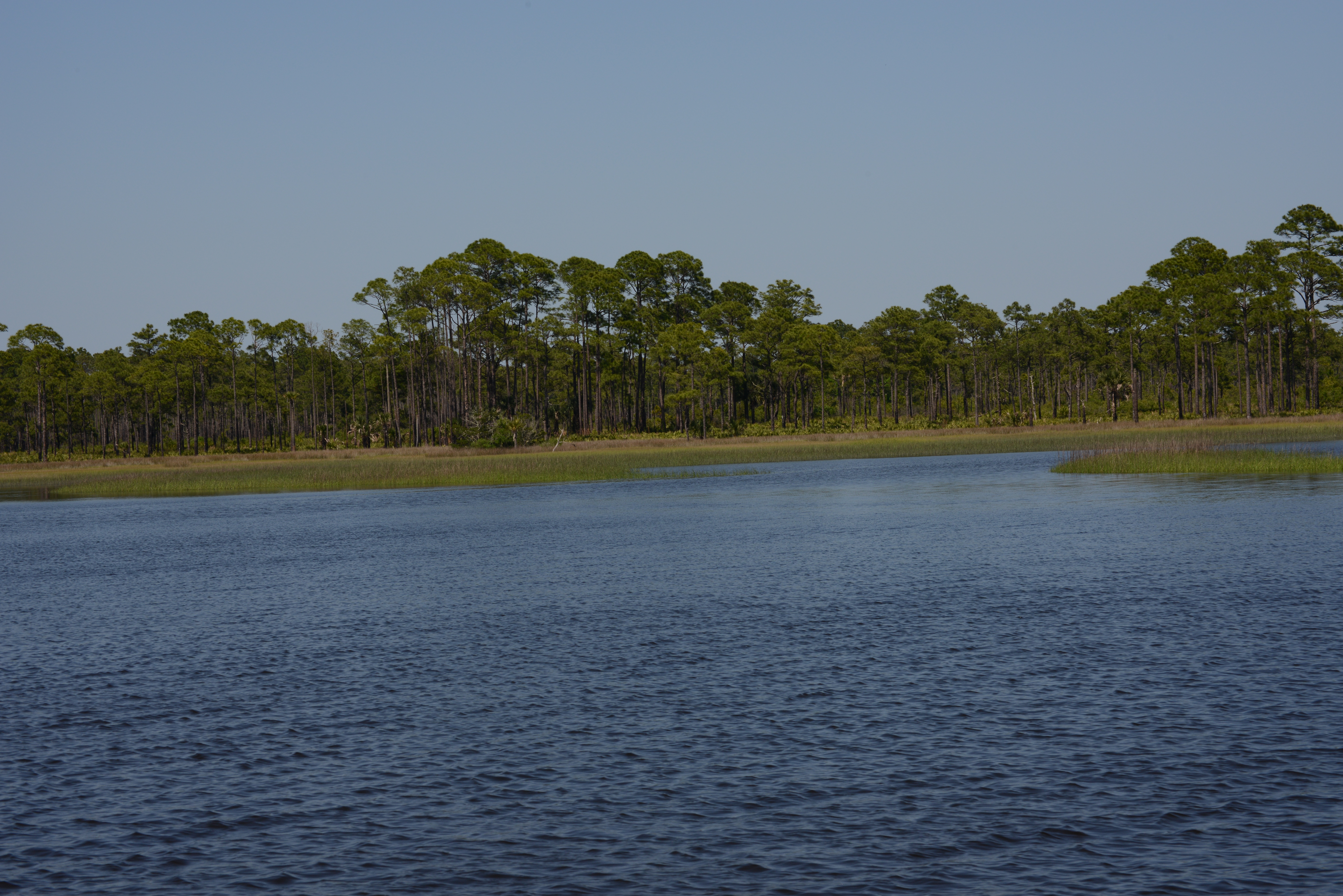
The Erie is slowly opening to navigation. The buoys have been reset between here and the Oswego Canal. Displaced buoys are only one part of the difficulties brought about by the flooding.
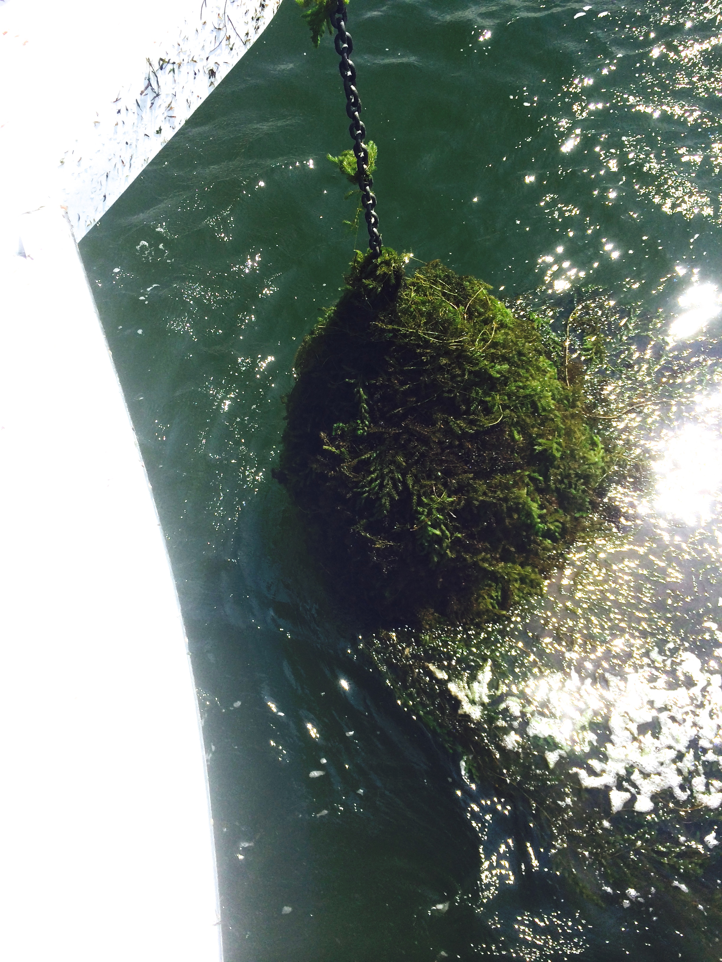
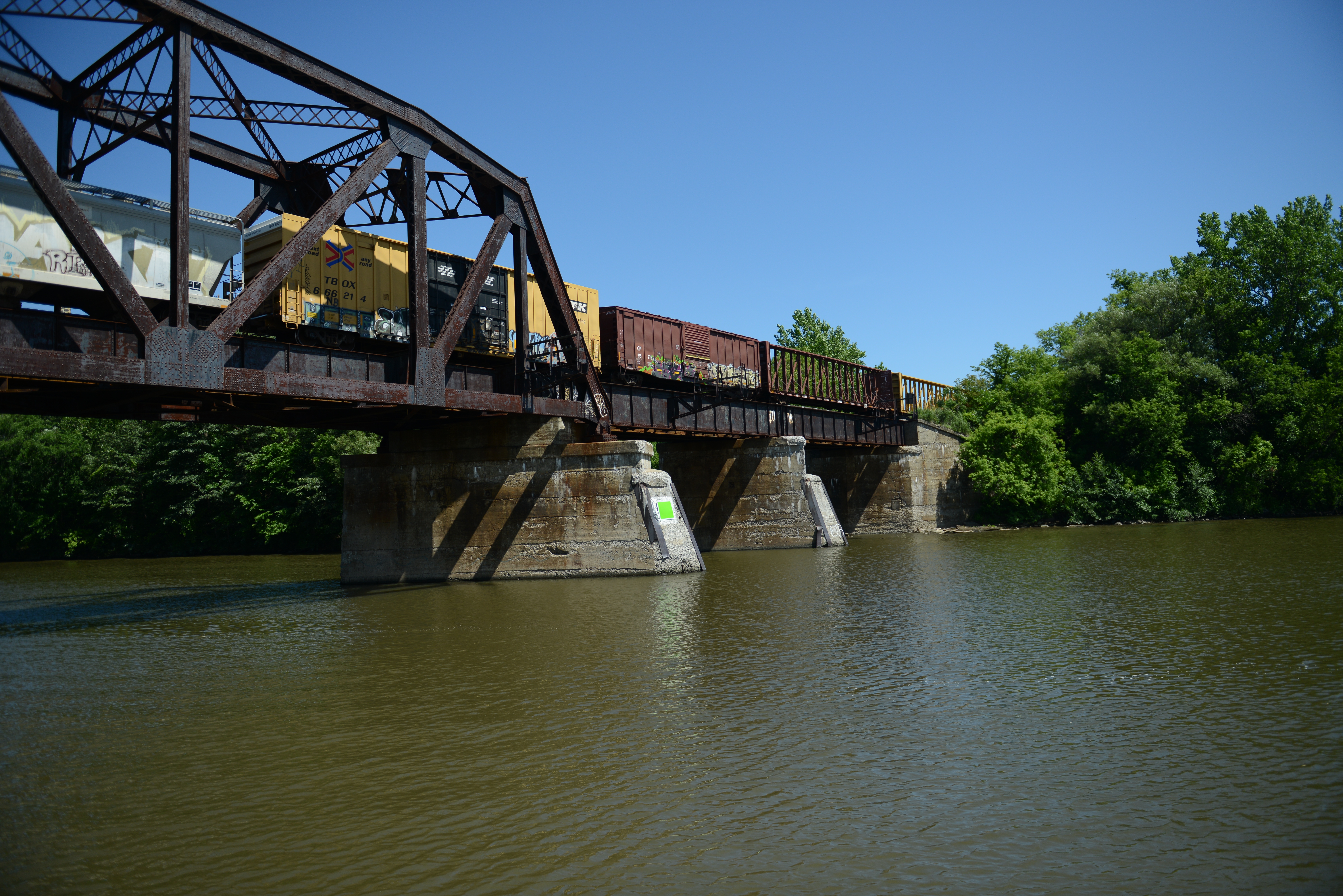
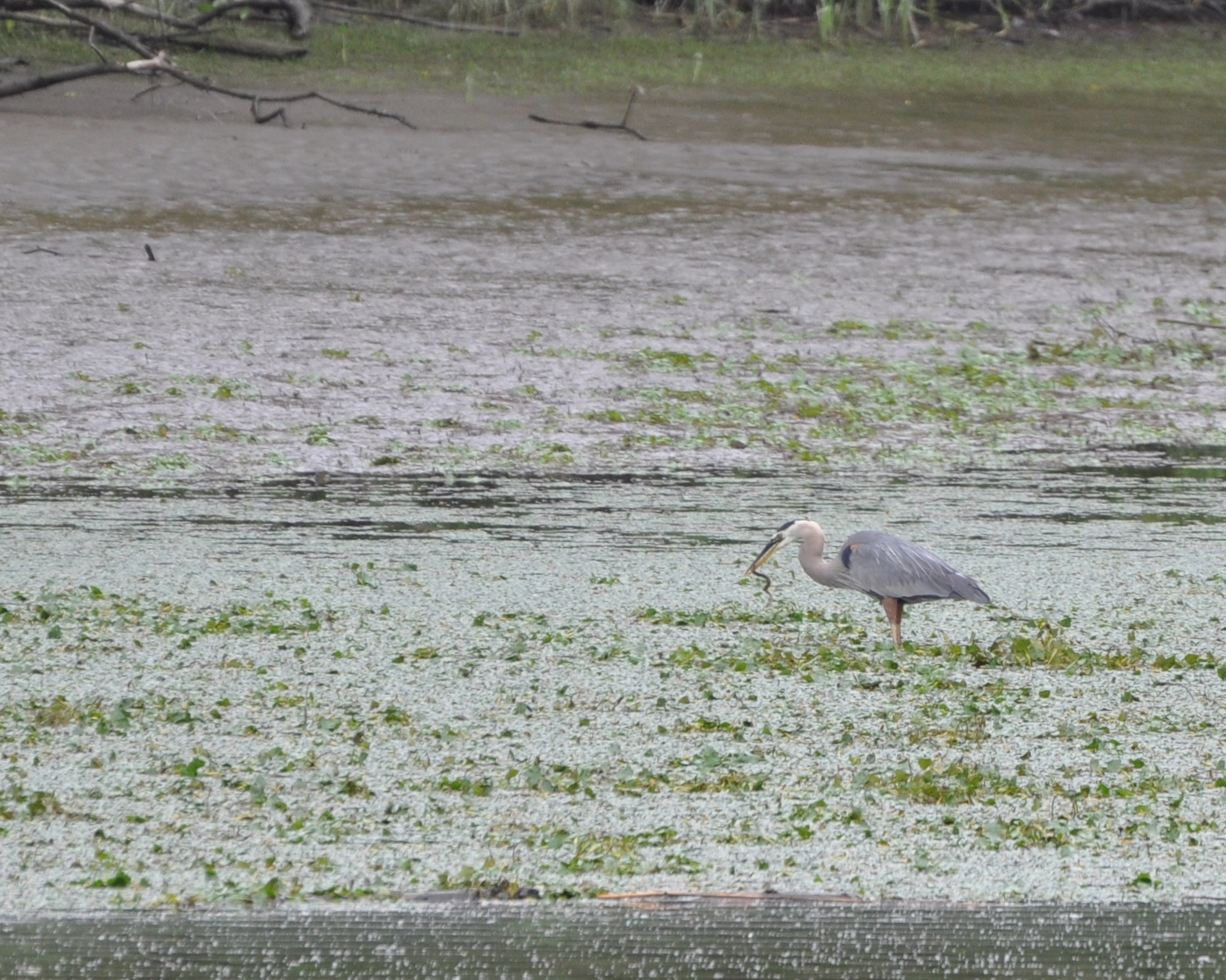
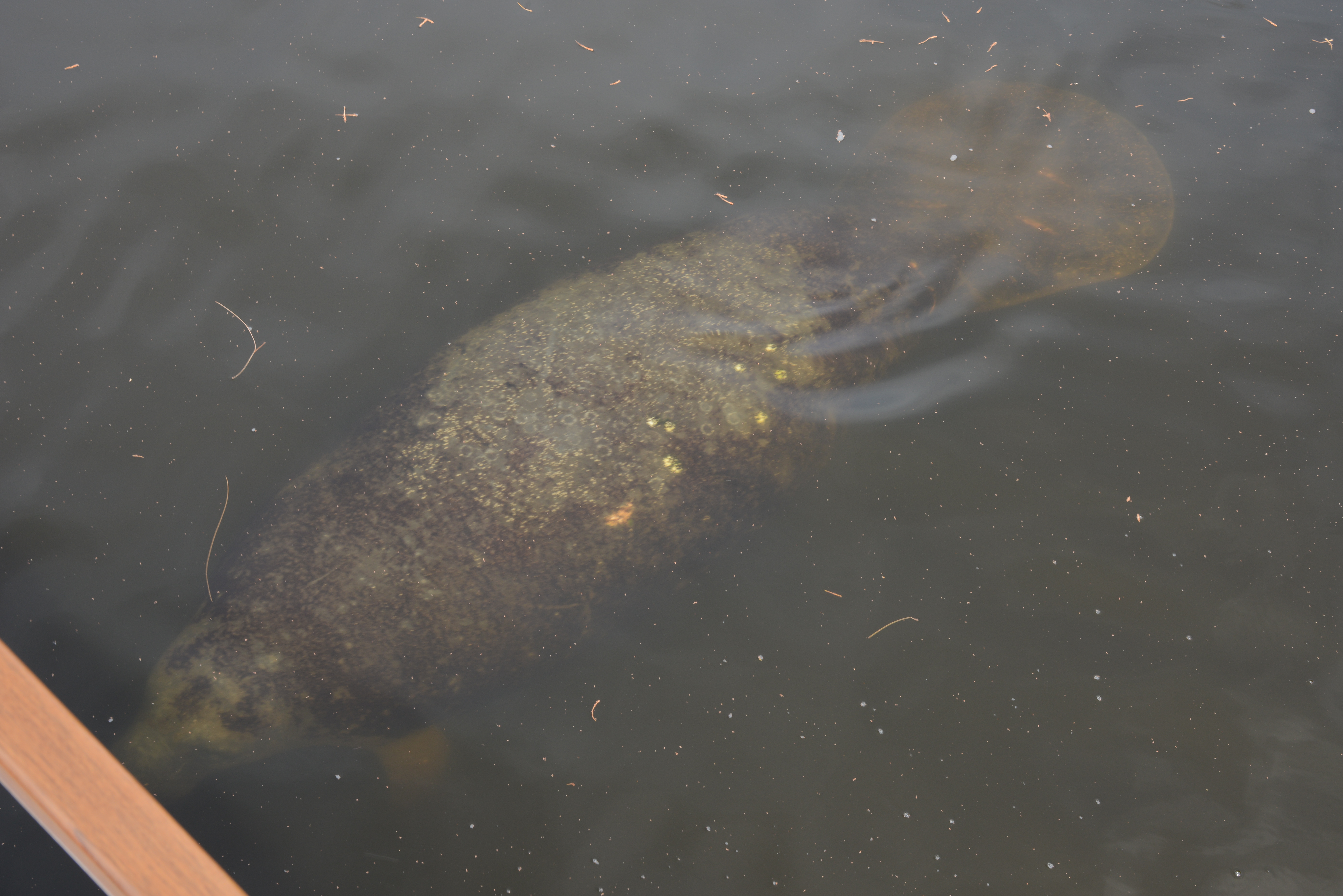
Debris in the water becomes a large problem, especially uprooted trees, both floating and those just under the water’s surface. Powering over partially submerged trees can damage a propeller, a shaft, or a hull and render a boat dead in the water.
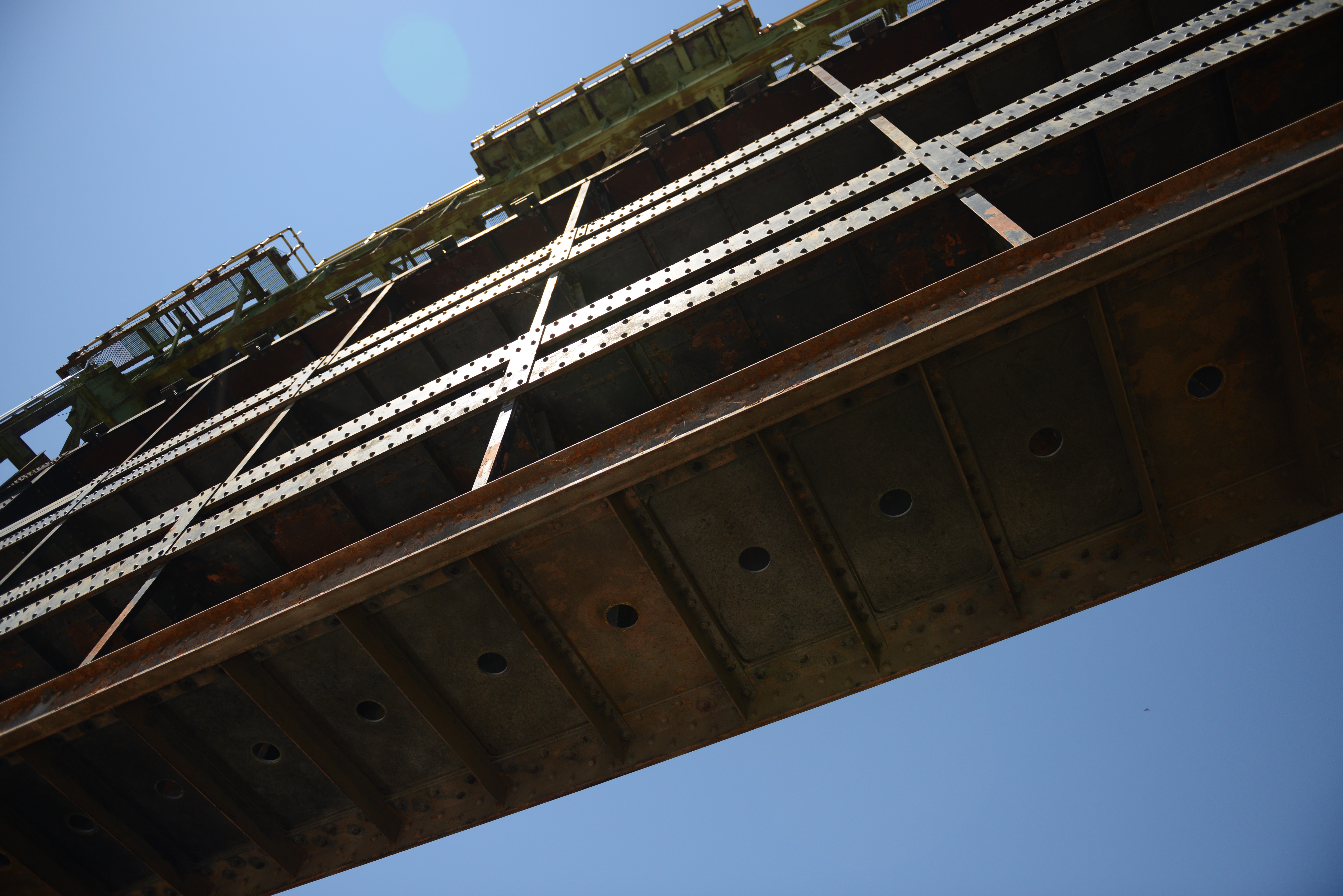
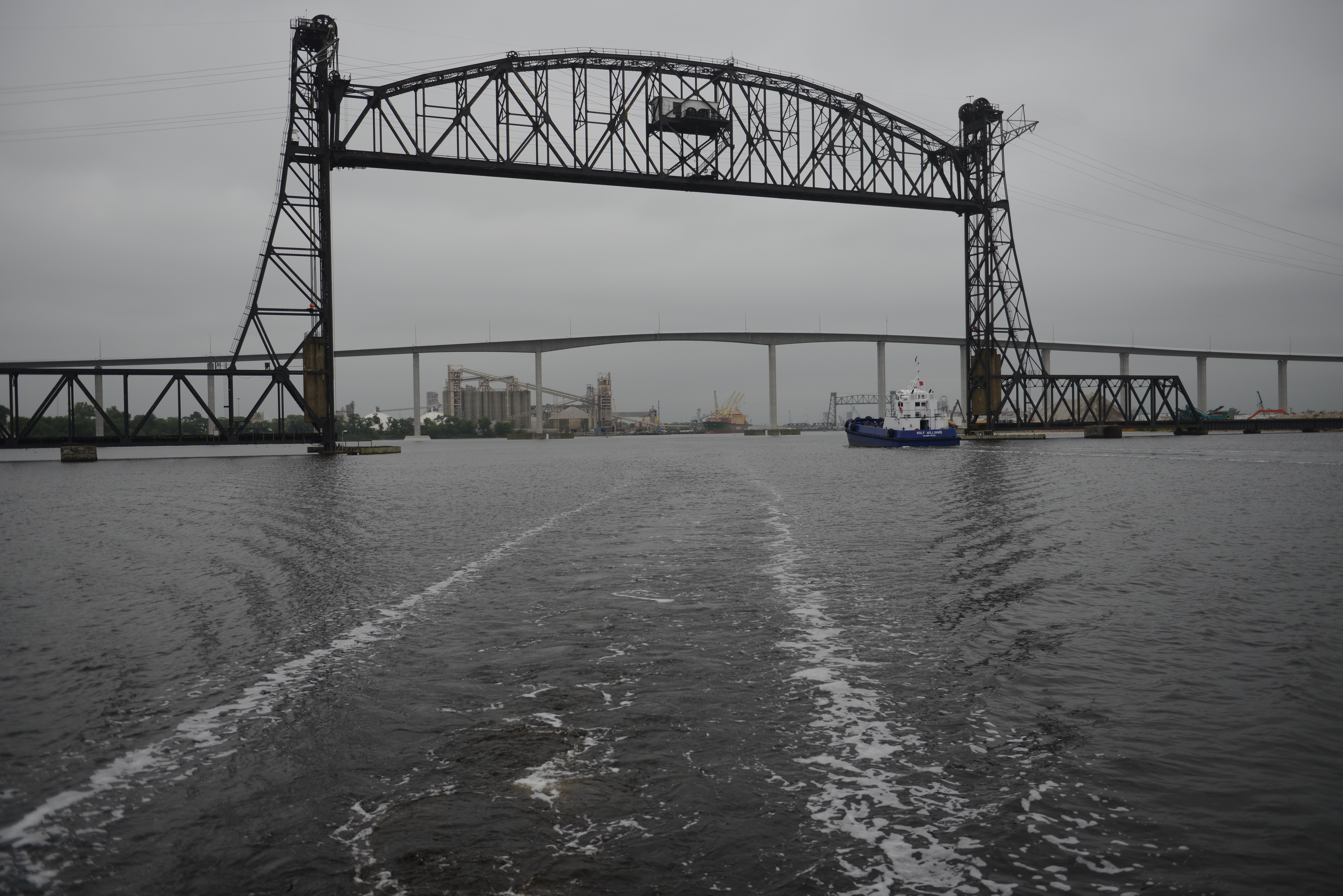
High water levels reduce the amount of air space under bridges so that passing beneath low bridges becomes hazardous. These are the things that mariners and those who tend the waterways must consider prior to navigation.
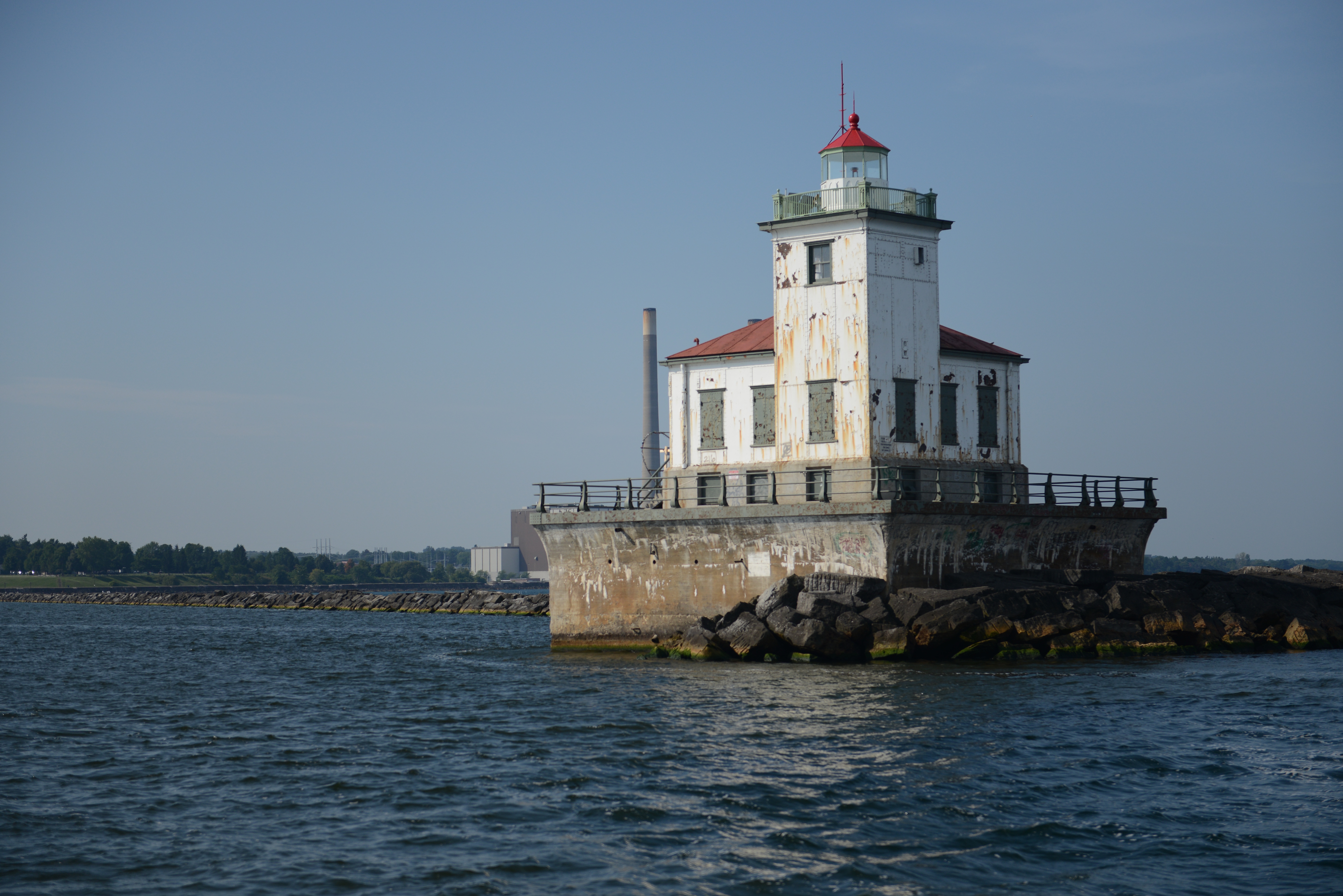
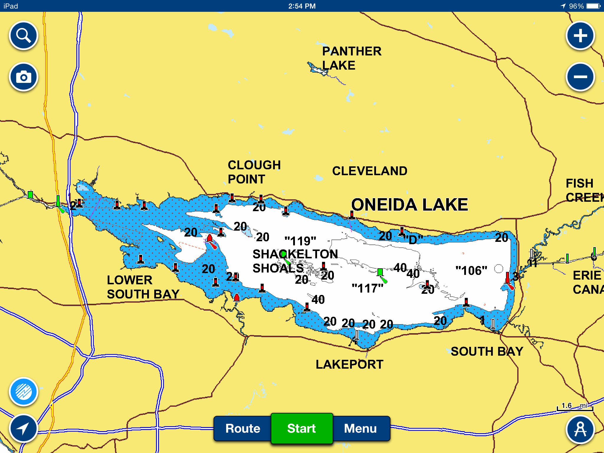
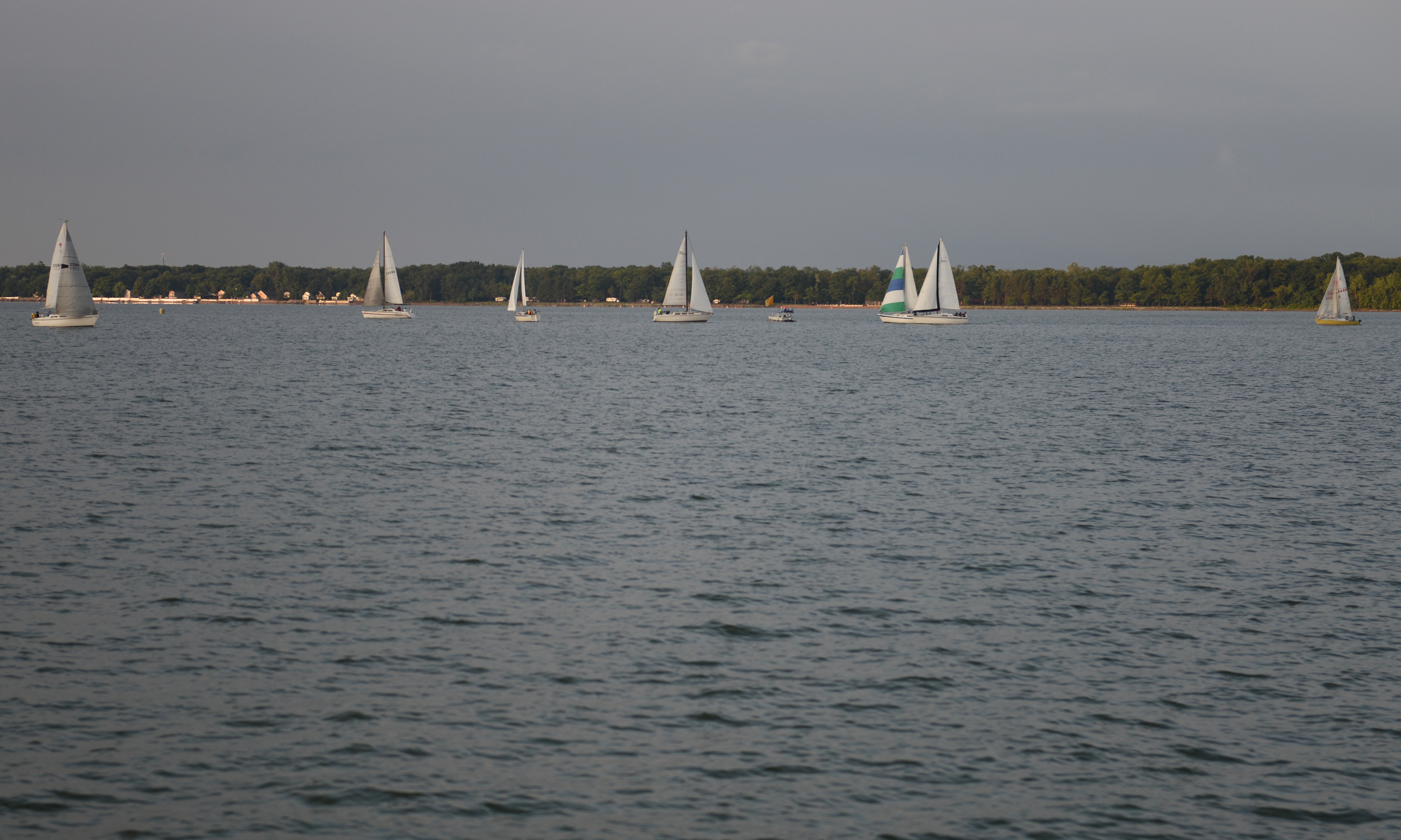
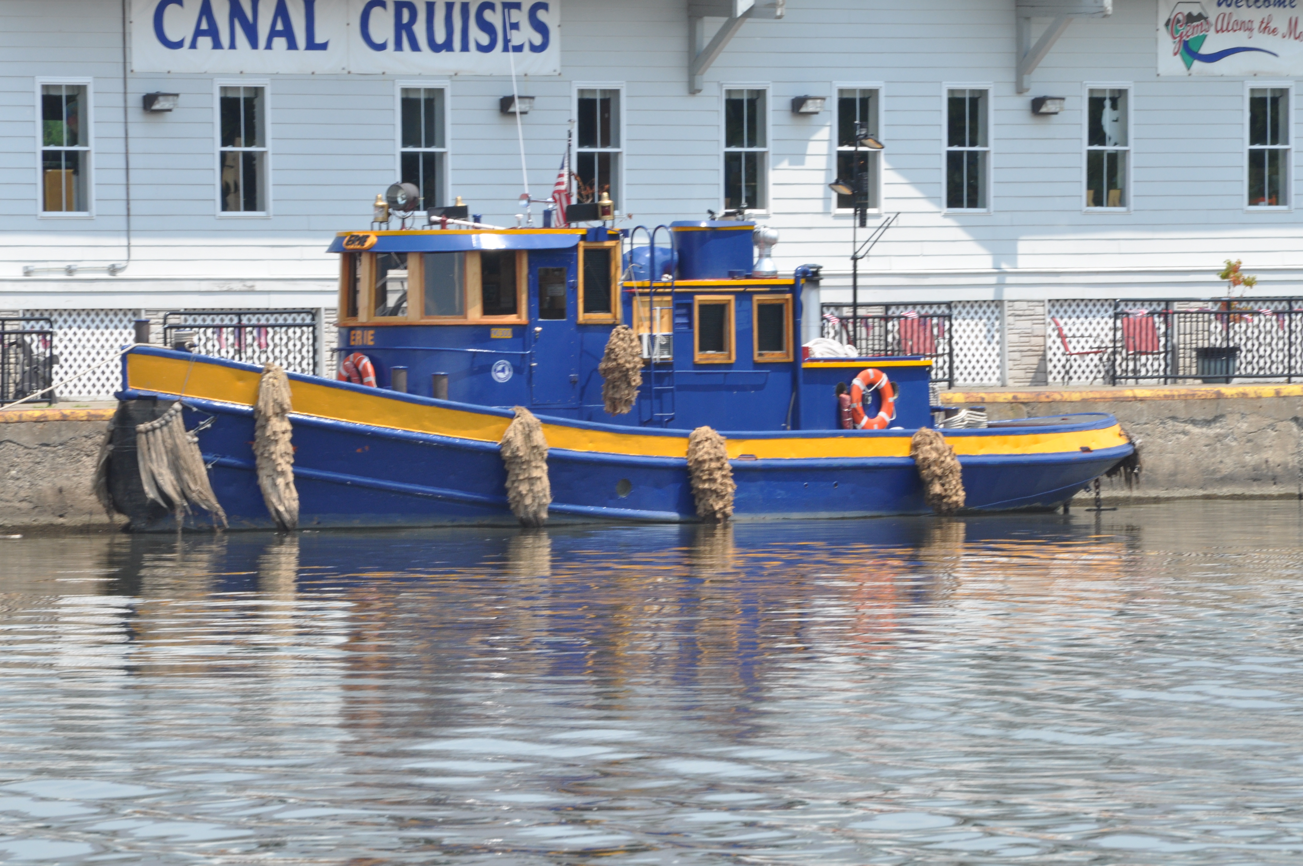
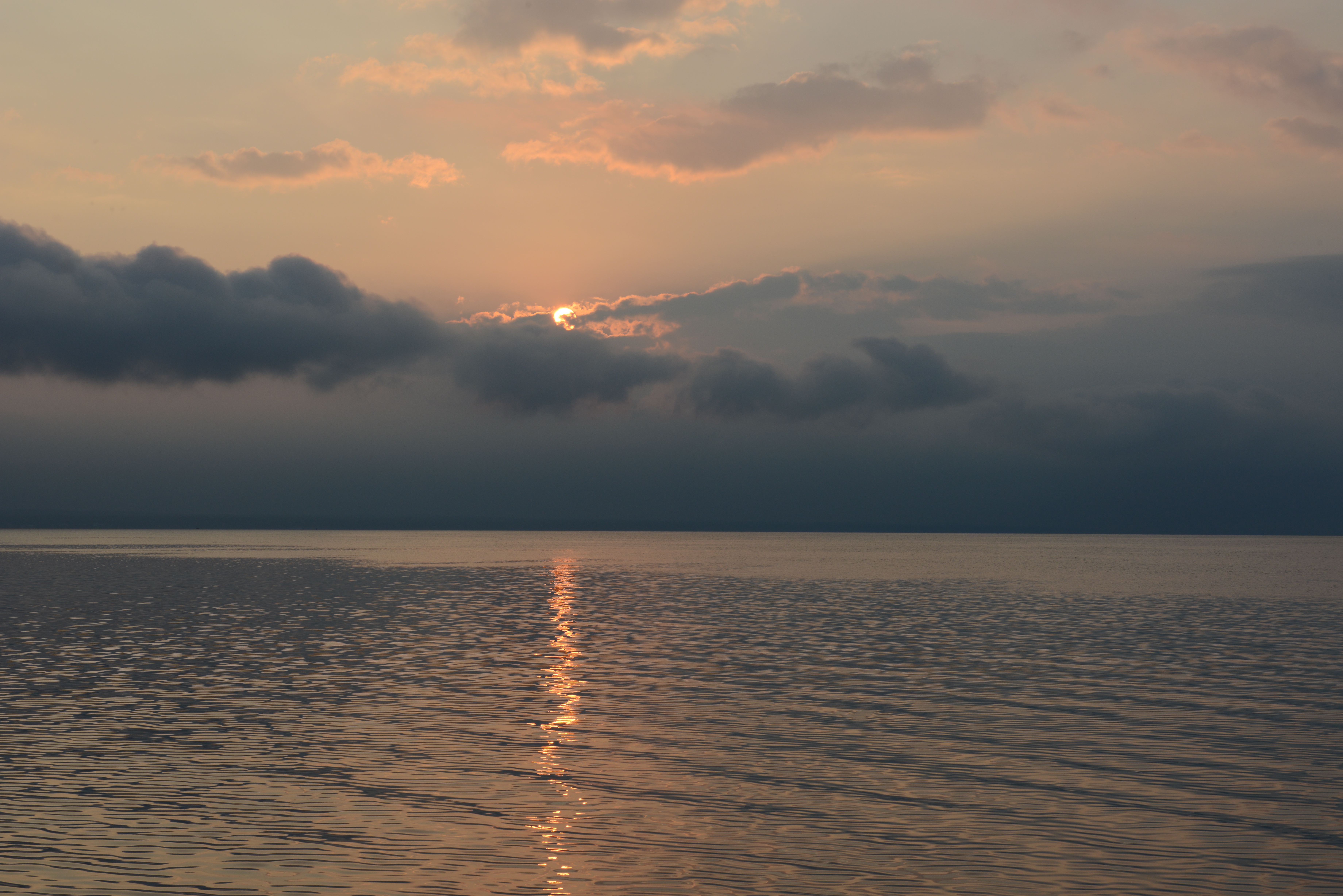
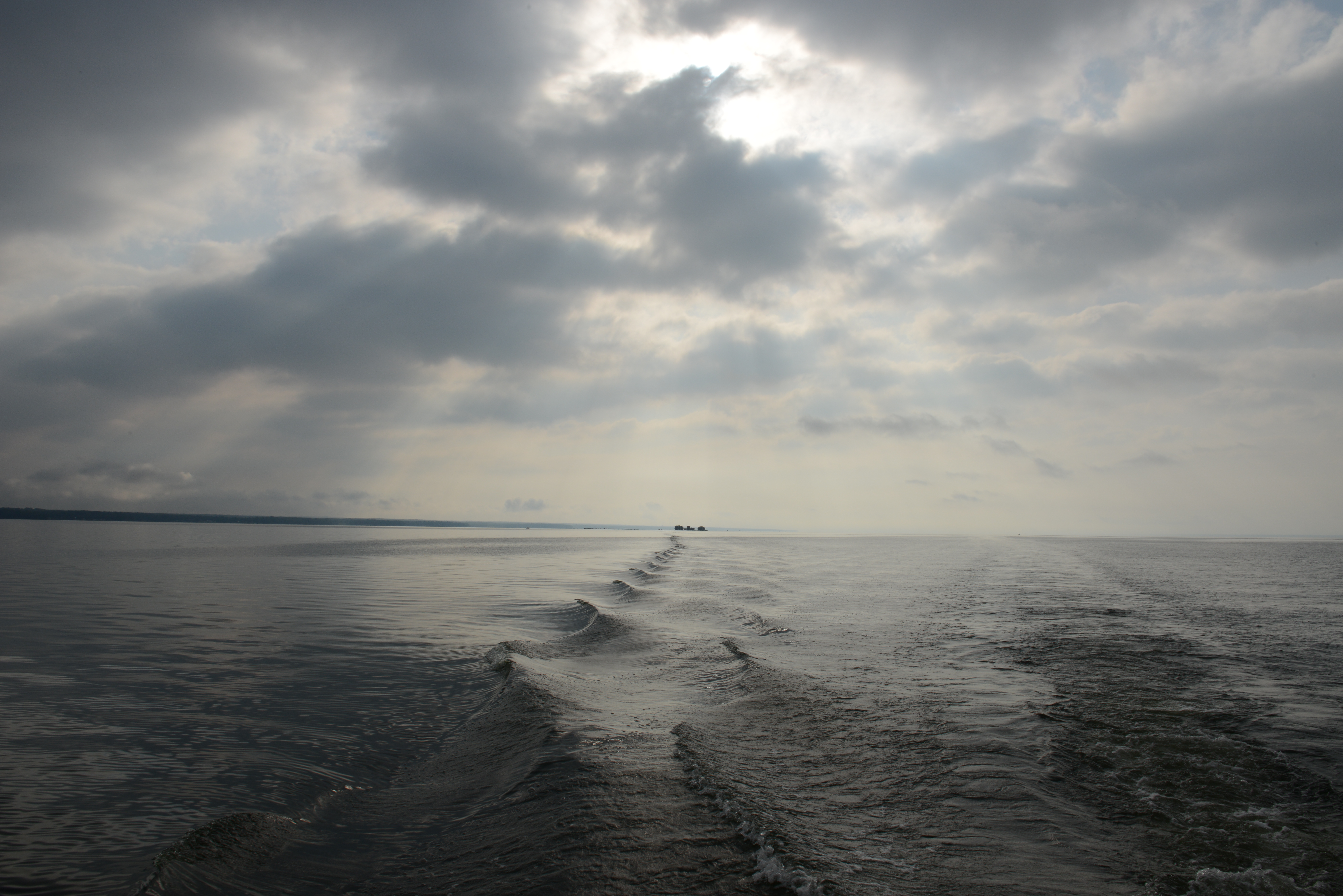
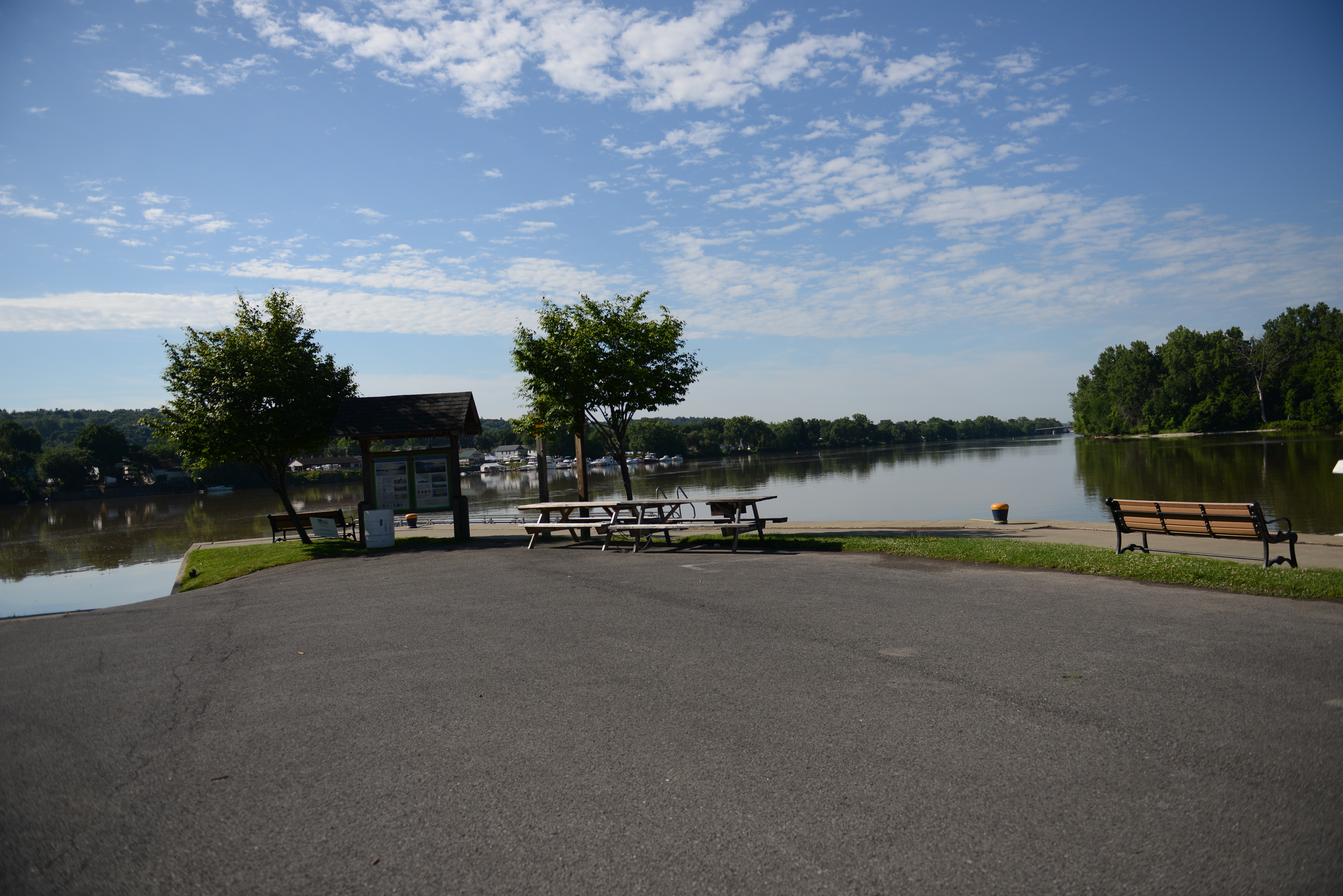
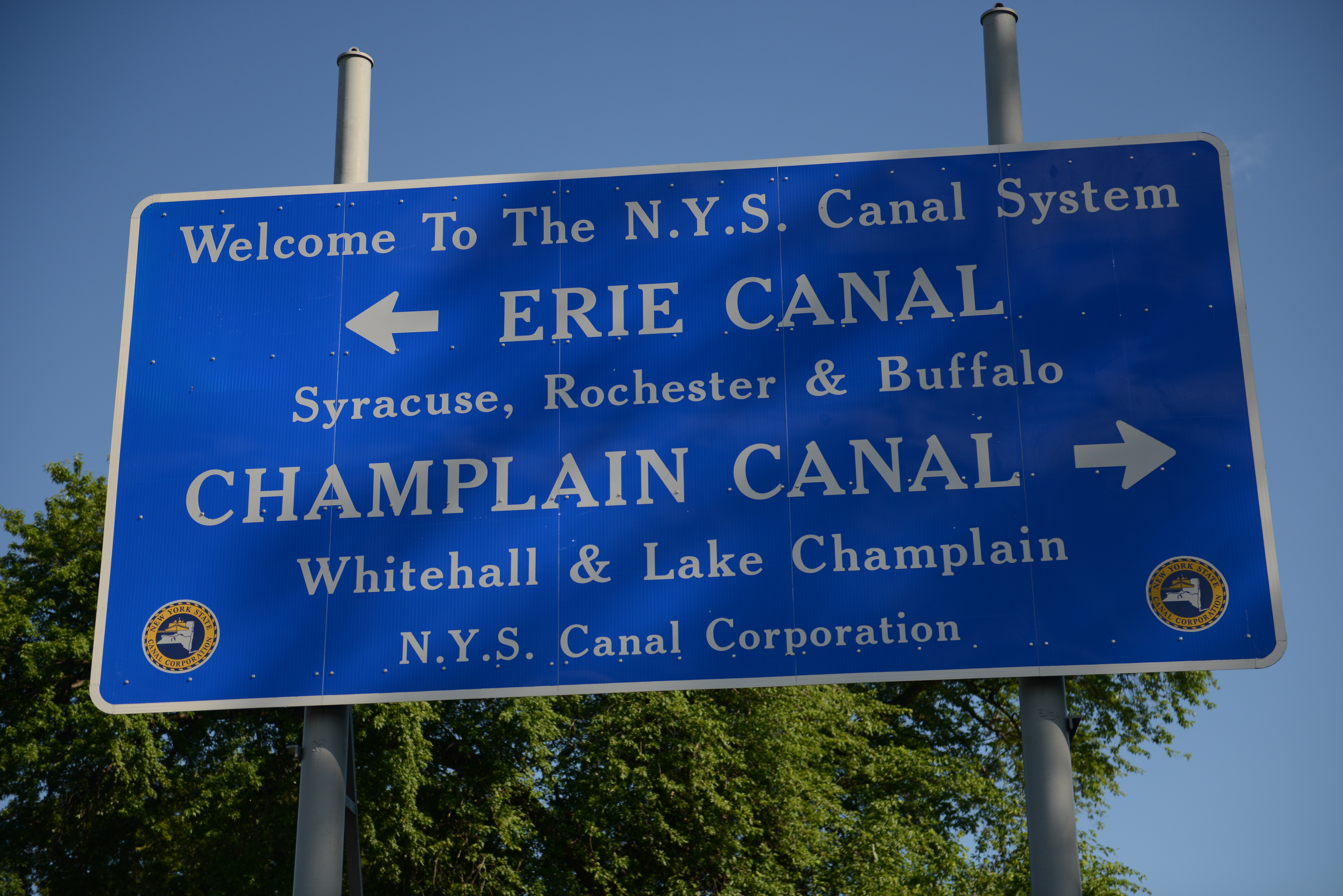
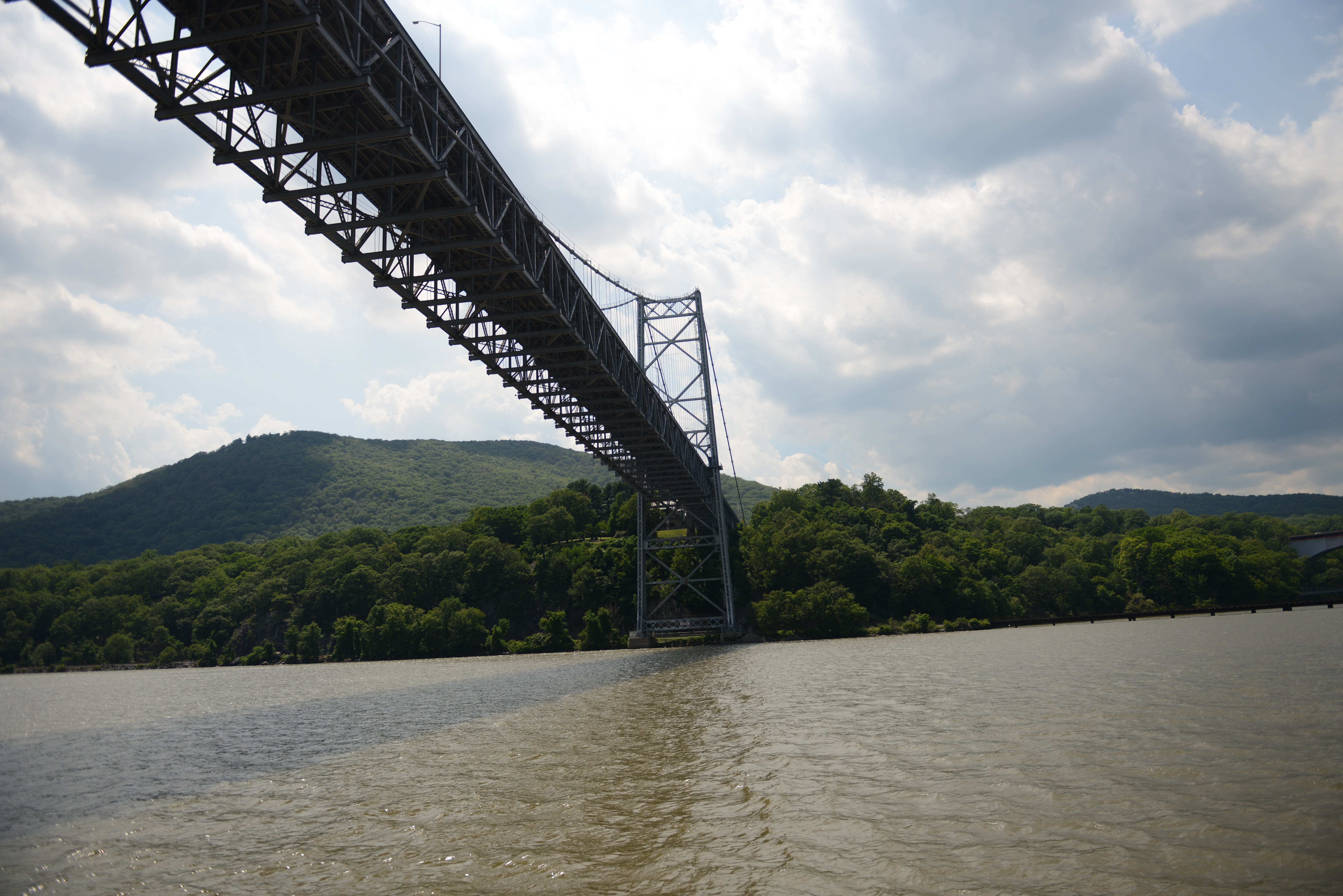
By tomorrow our portion of the canal should be open. We hope to get an early start towards Oswego in order to cross Lake Ontario on Thursday. The NOAA weather forecast for Lake Ontario calls for 6 knot winds on our starboard bow and seas of less than 1 foot. Though the high temperature will only be in the 60s, the predicted sunshine will give us a beautiful crossing. It is a 6 or 7 hour passage from the last lock at Oswego to the pass between Cressy and Amherst Island. At that point we will be in Ontario’s protected waters and can steer a course to the historic Trent-Severn Canal.
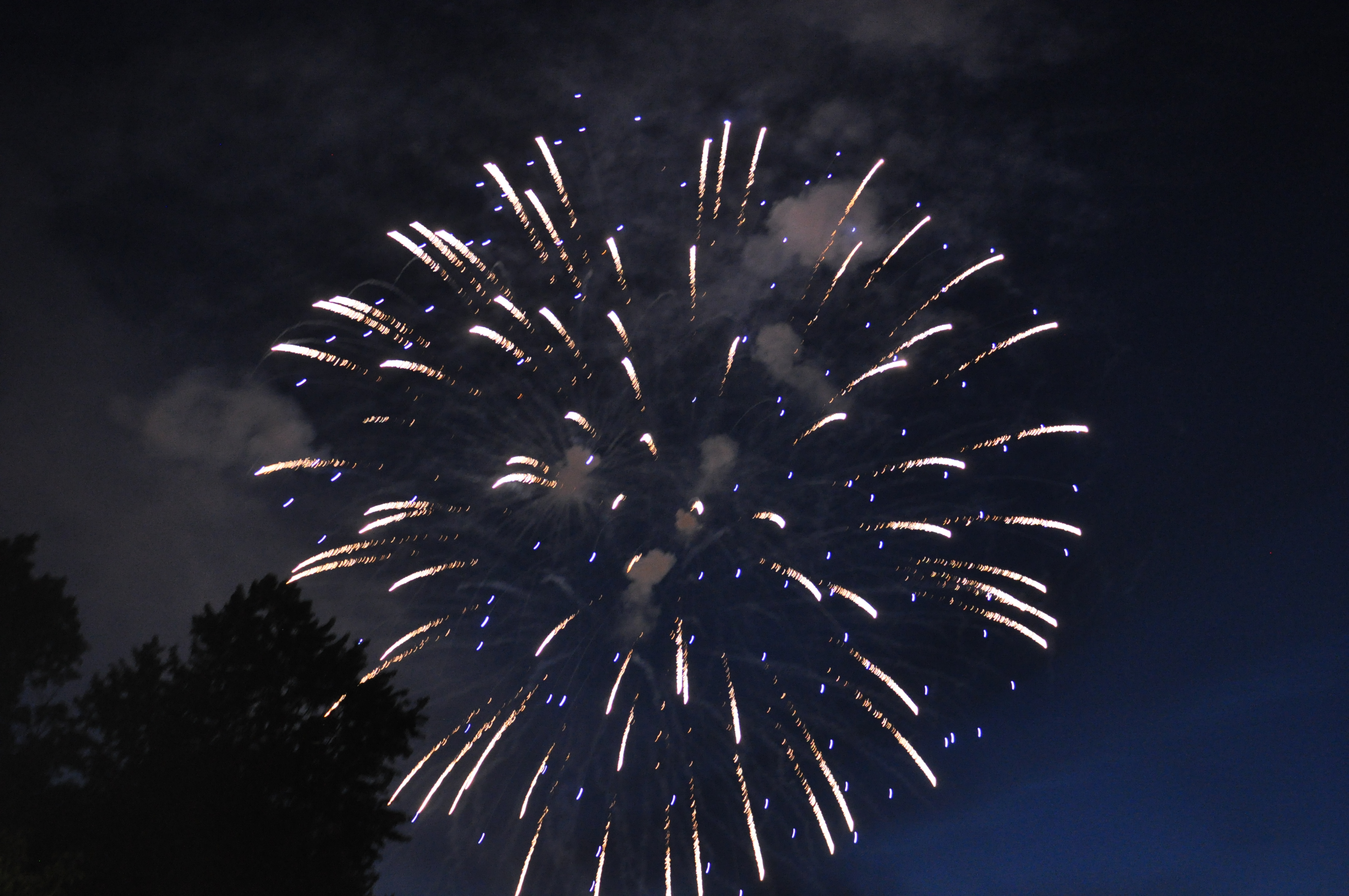
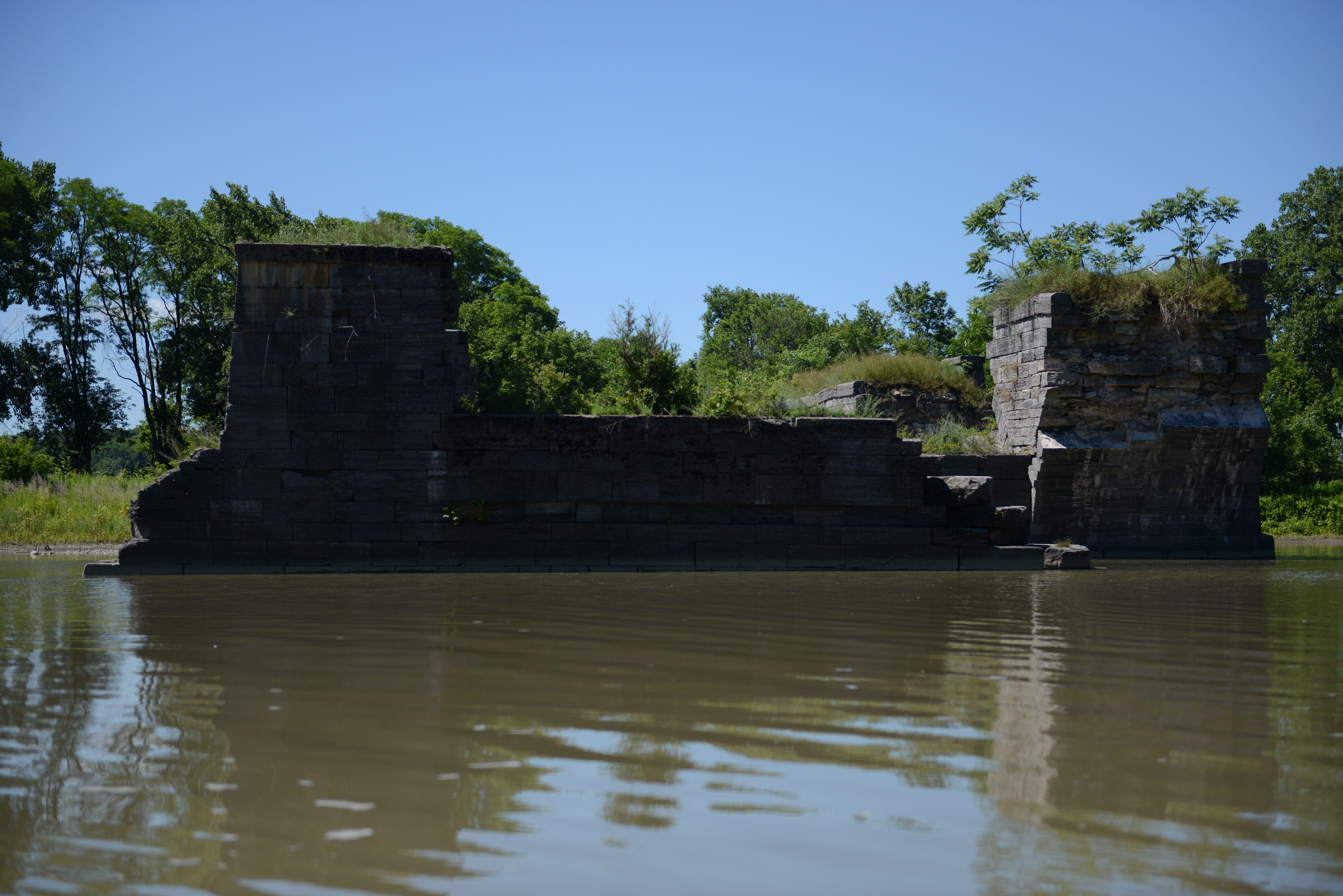
There are many beautiful waterfalls in this part of New York. On an earlier excursion with Suzanne, we happened upon this one.
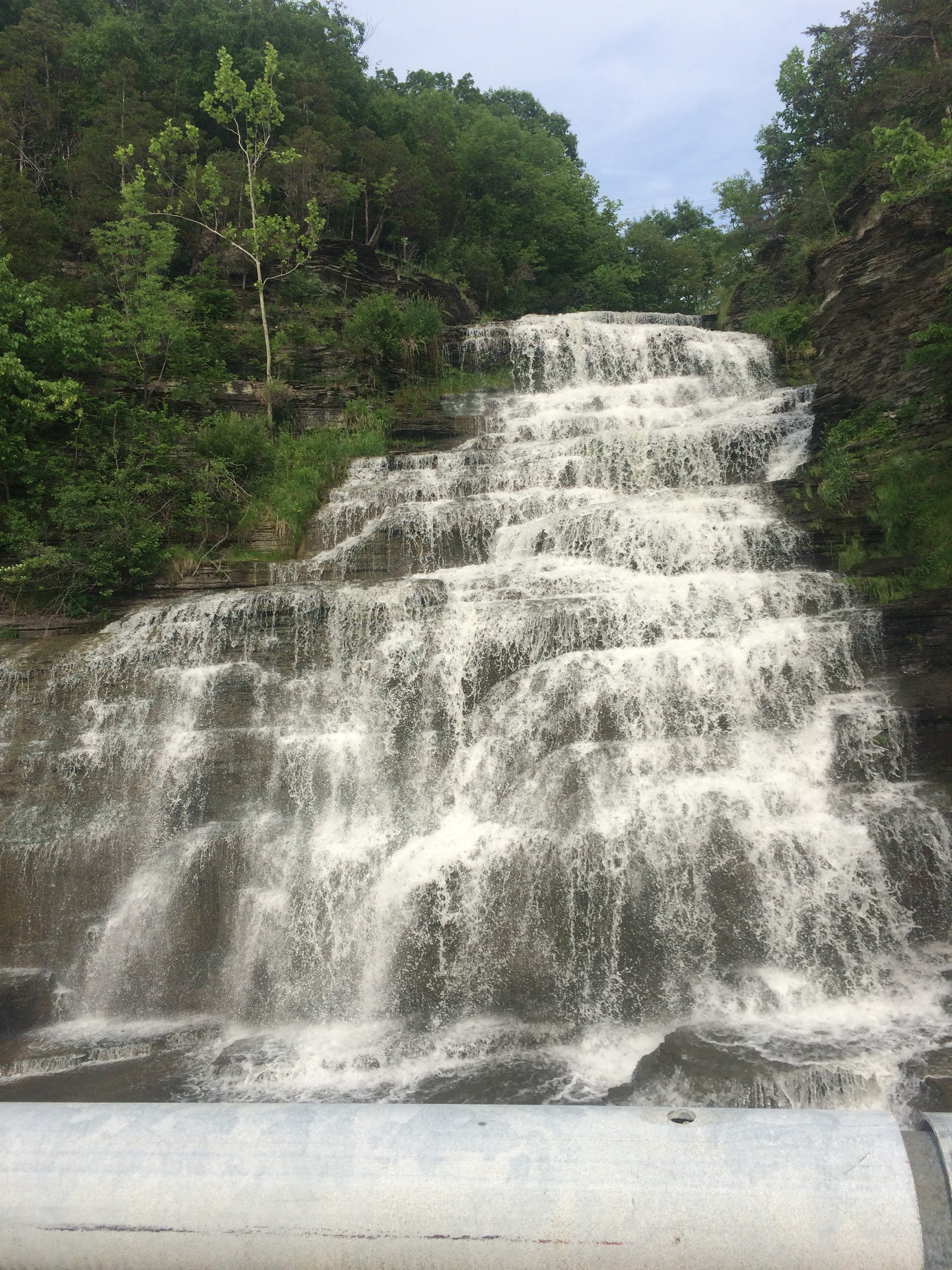
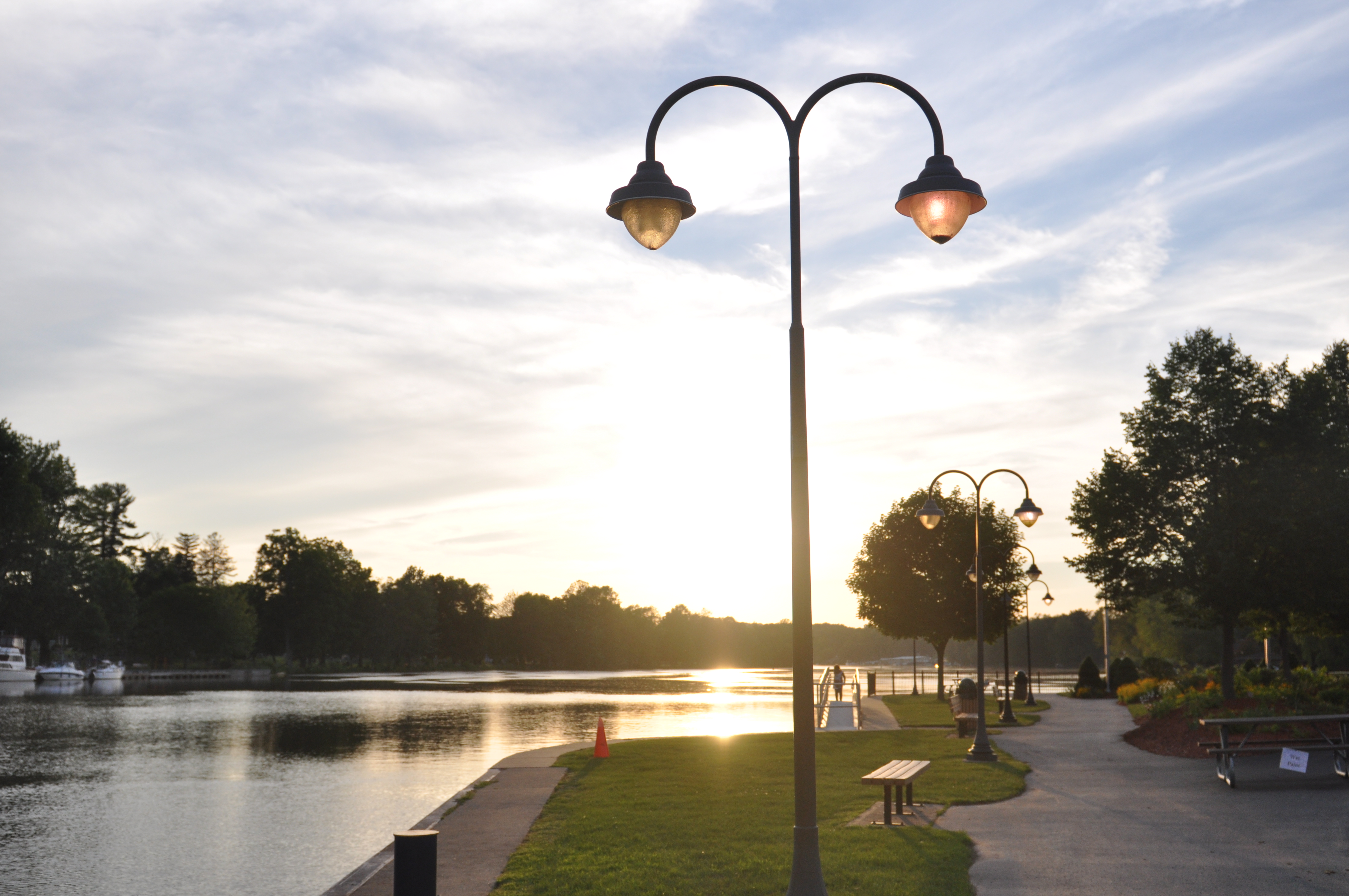
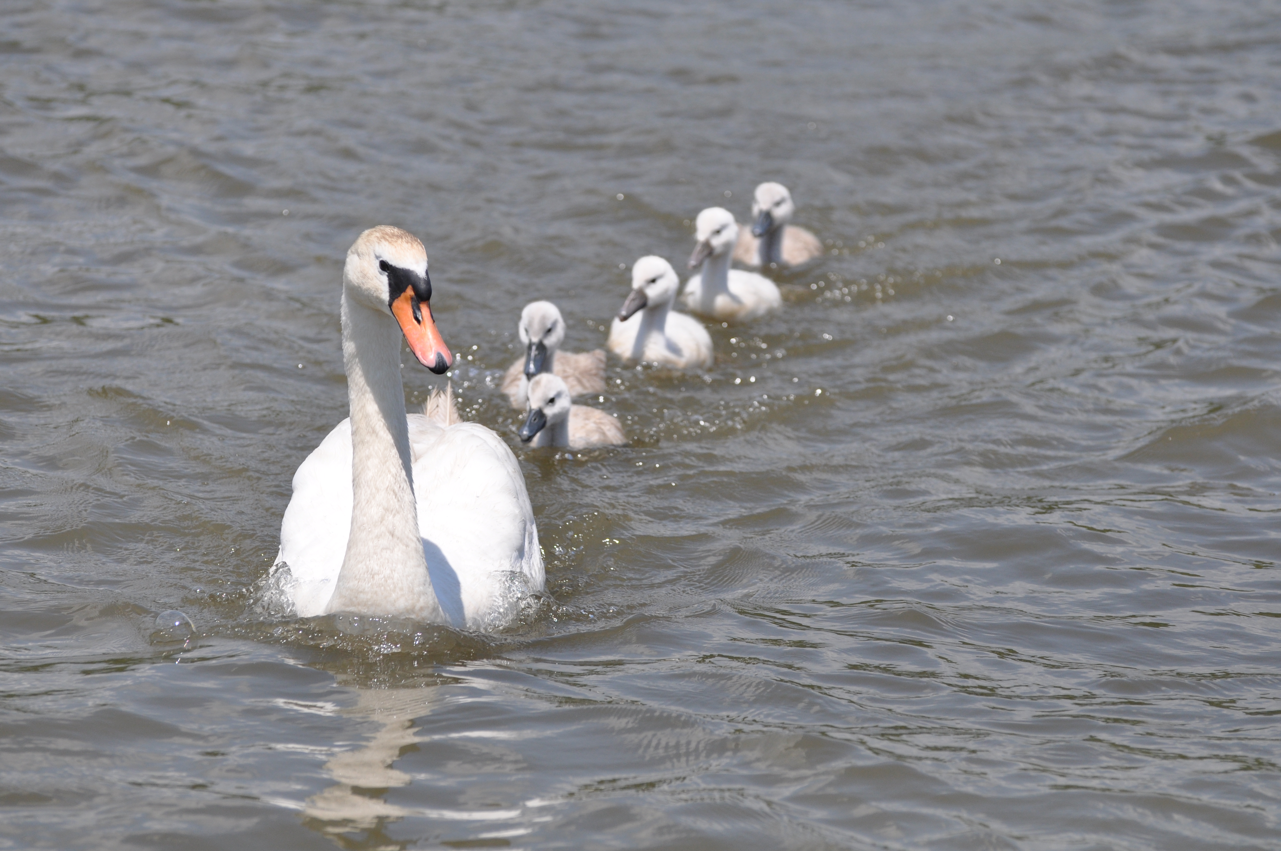
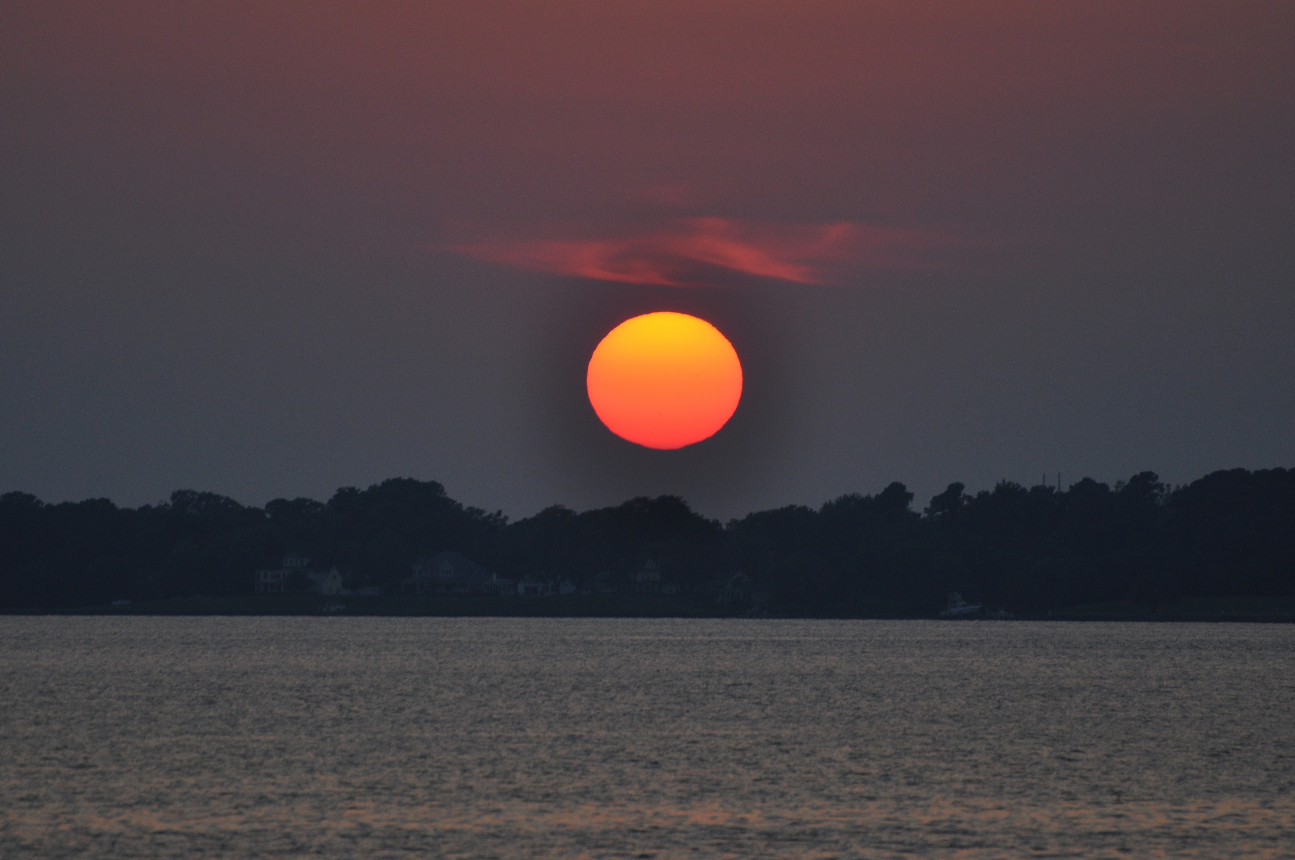
The late spring rains yield incredible beauty.
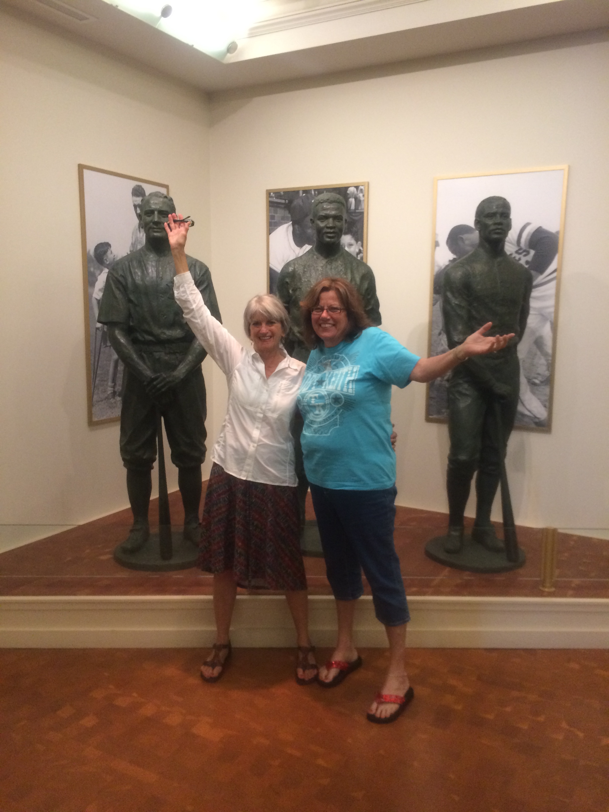
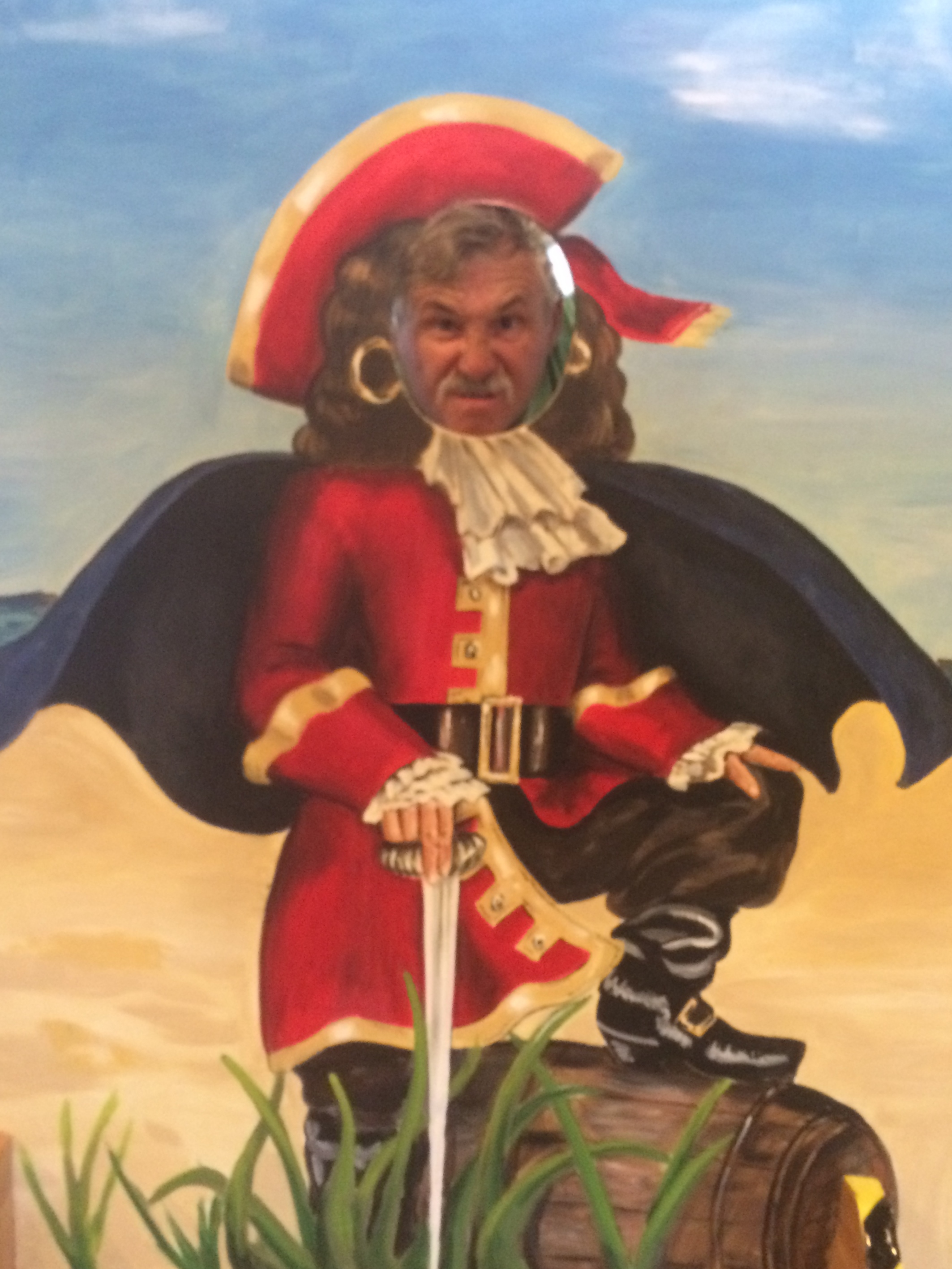
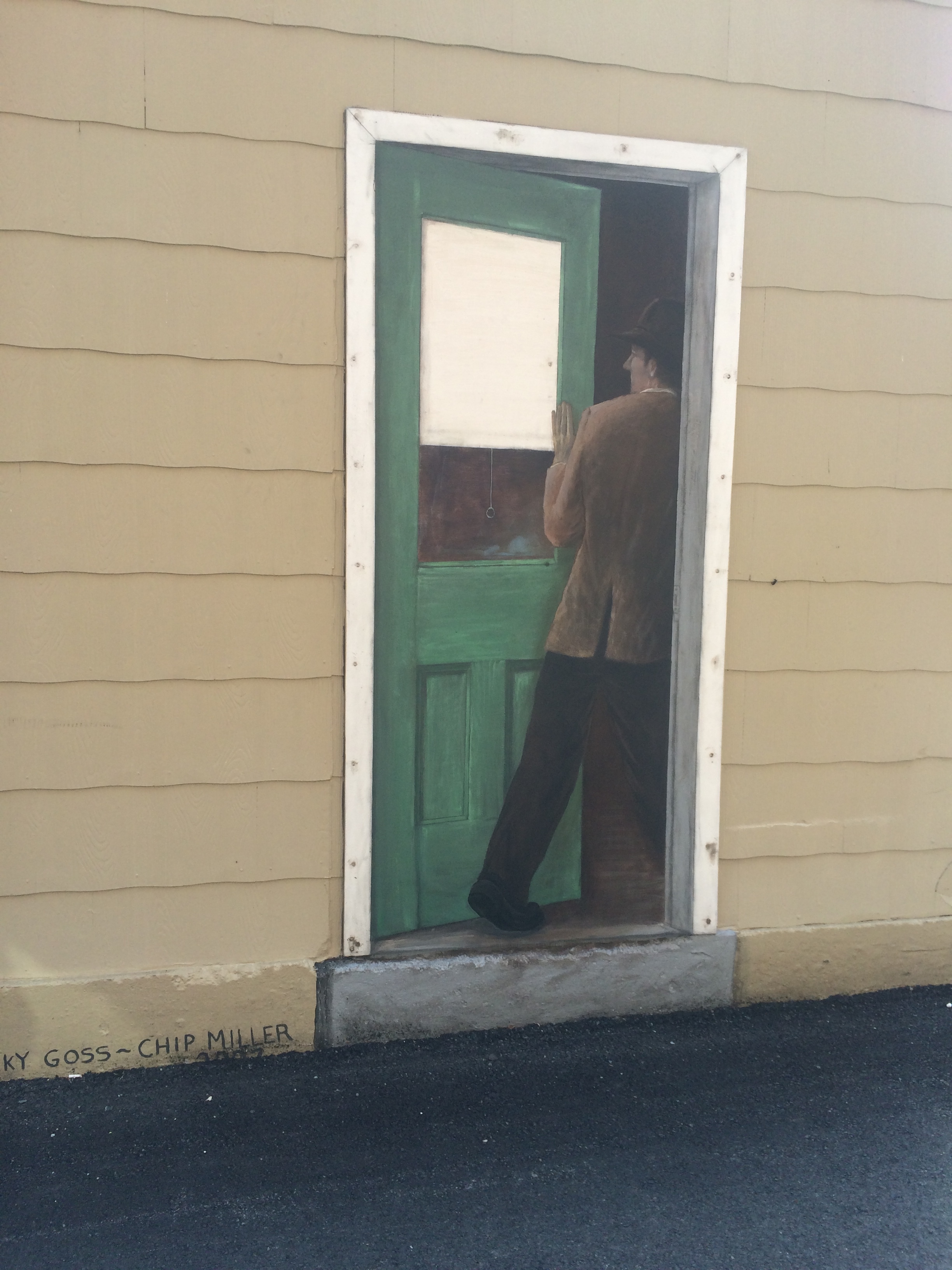
Lyons, NY is famous for the murals painted on the walls of buildings throughout the historic downtown district. On another trip with Suzanne, we drove through Lyons and encountered the following local works of outside art.
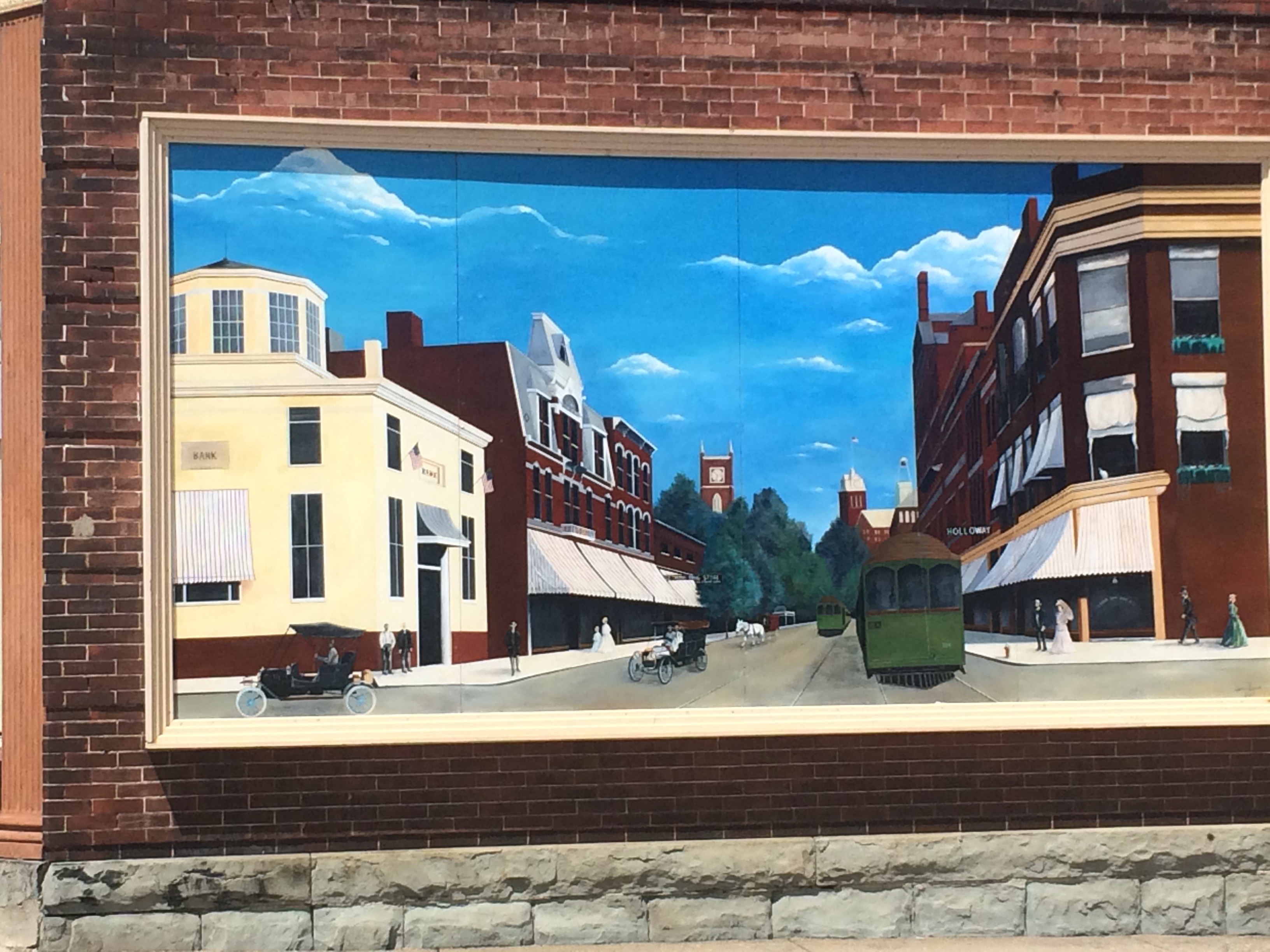
The sky this day mimicked that of the wall mural.

There is a story behind each mural. Note the dentist’s chair & equipment.
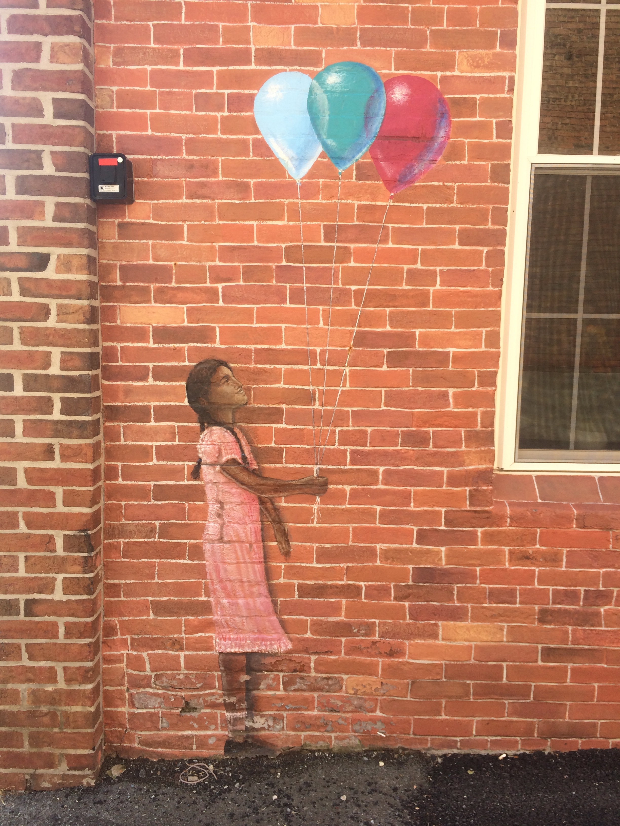
My favorite image.
Interestingly, when there is local pride and beauty on the town walls, there is very little graffiti.
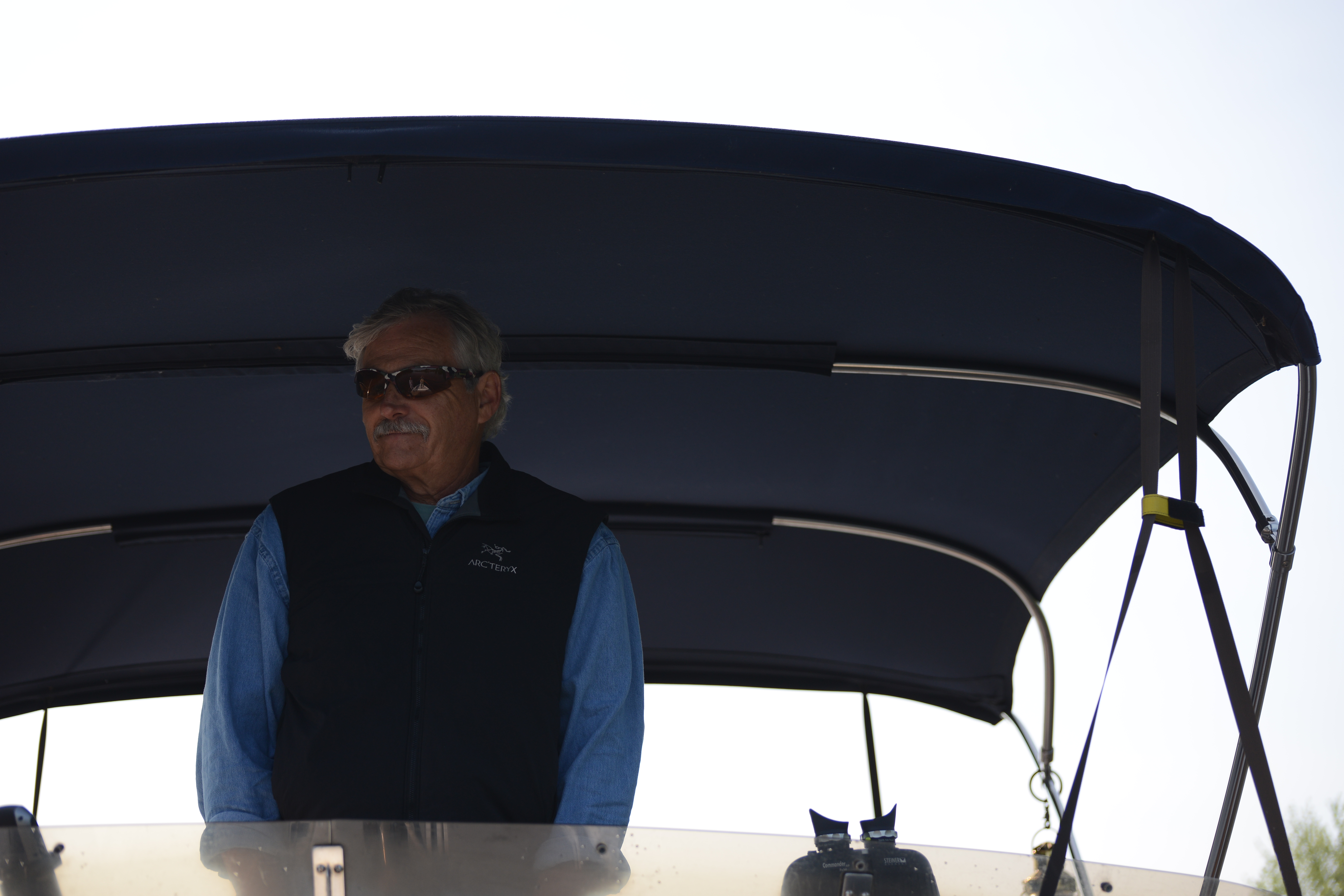
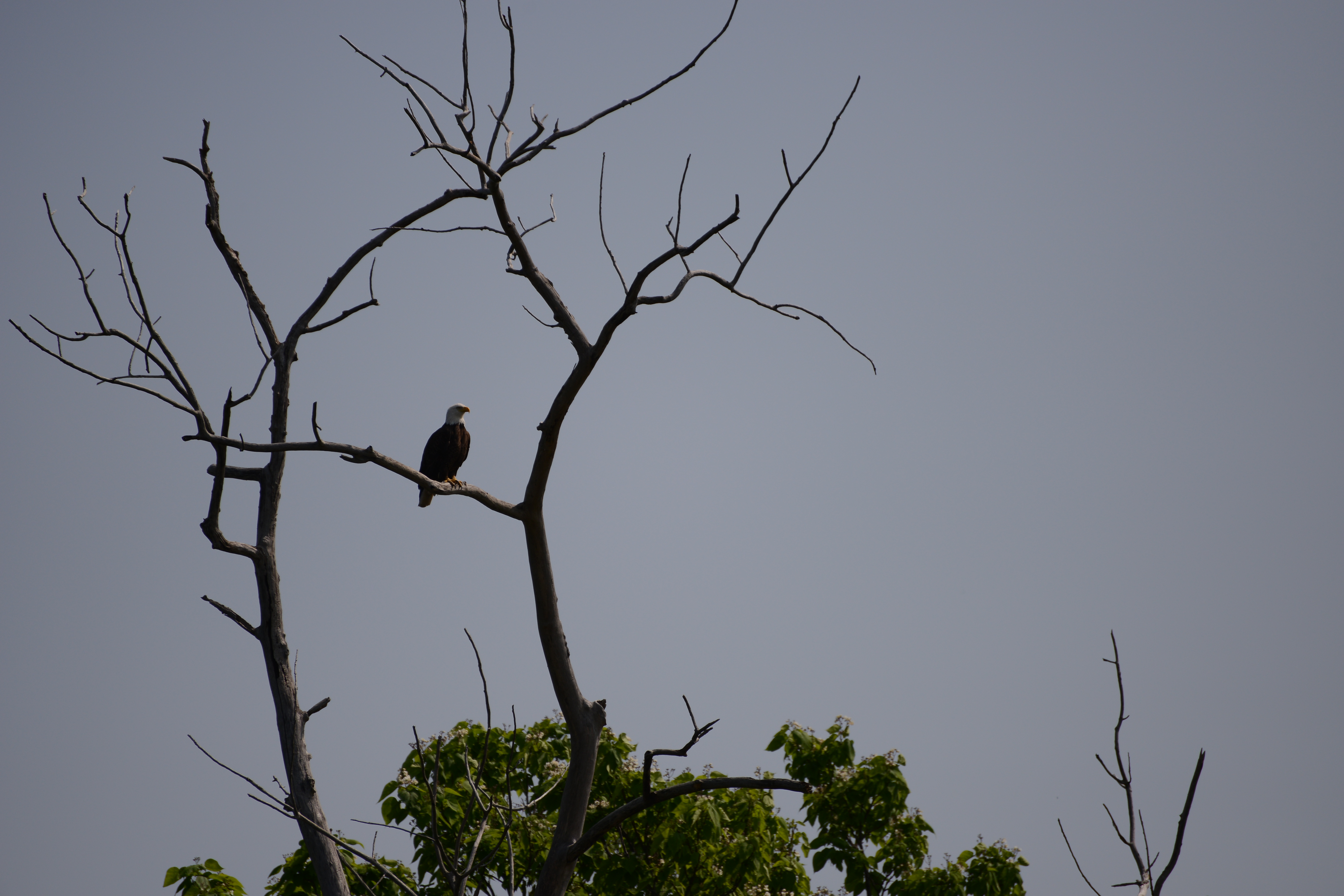
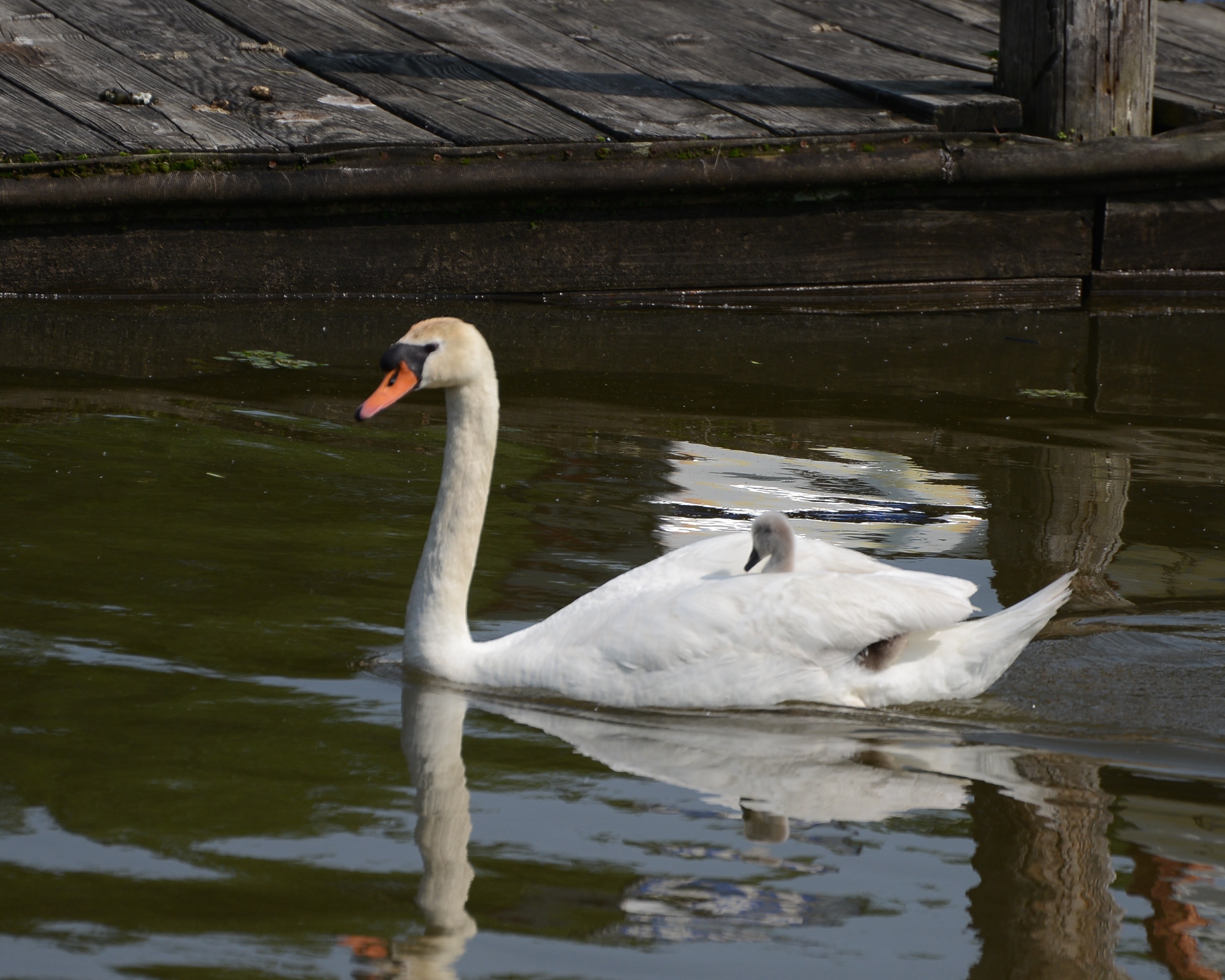
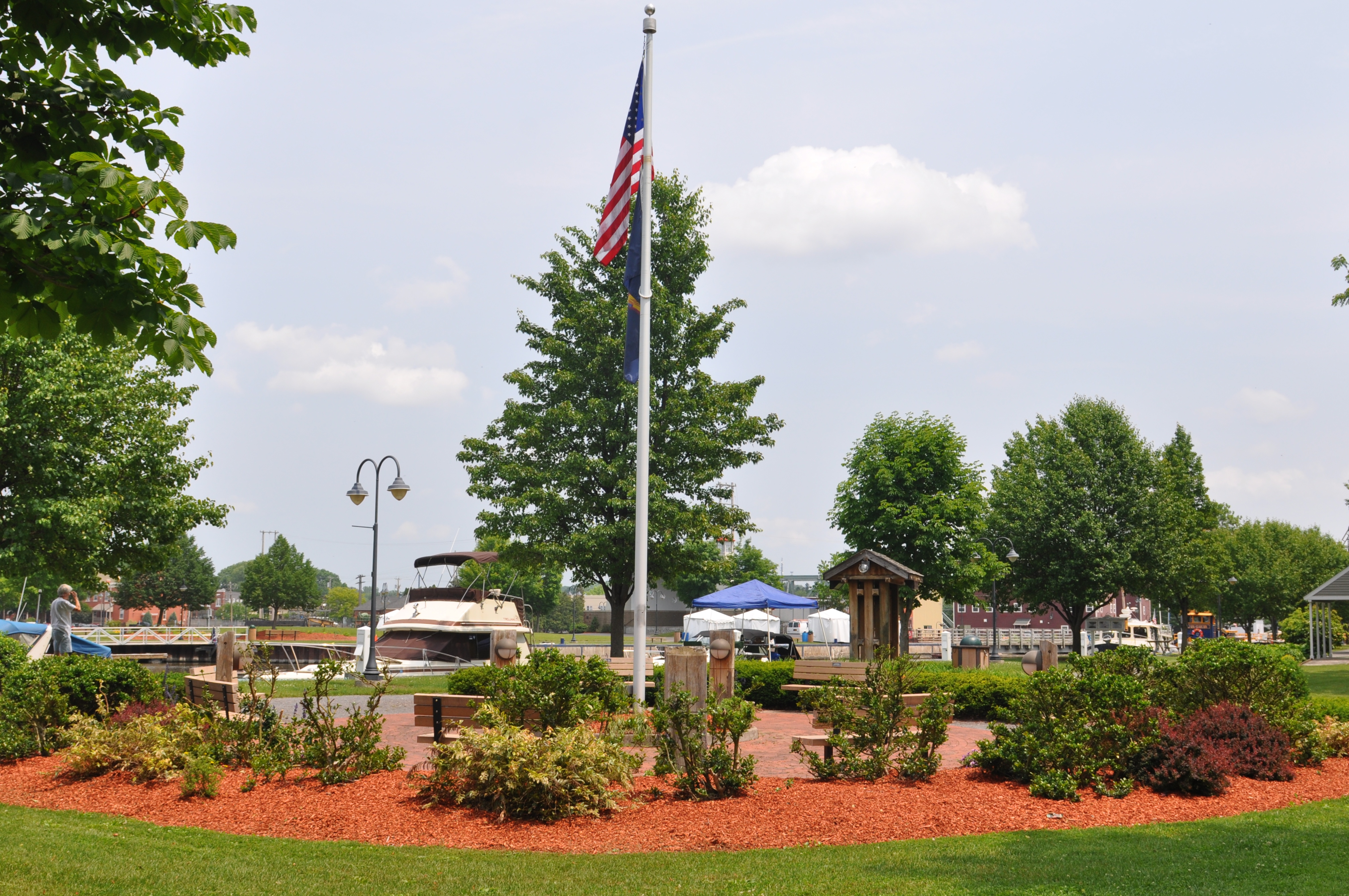
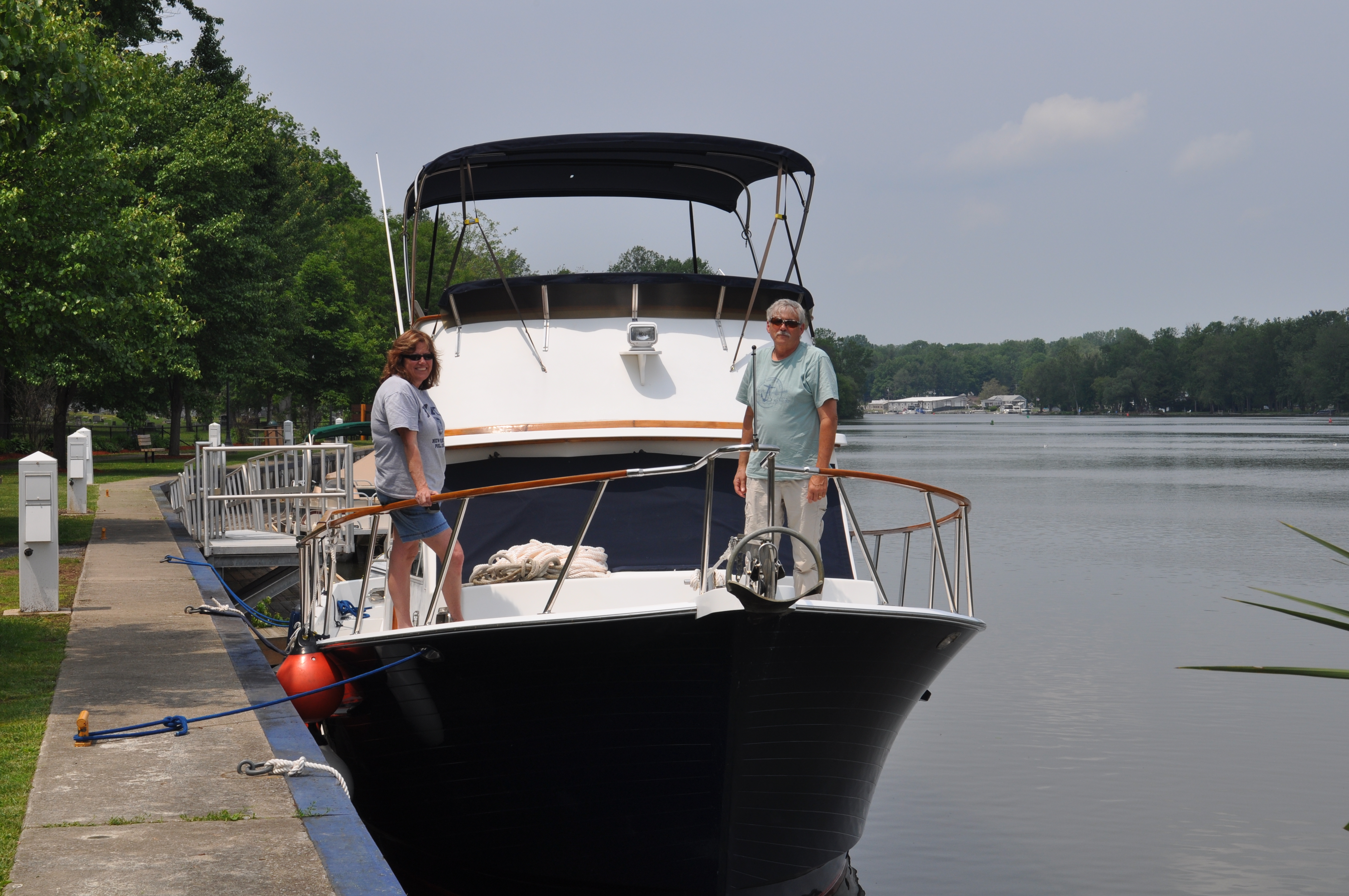
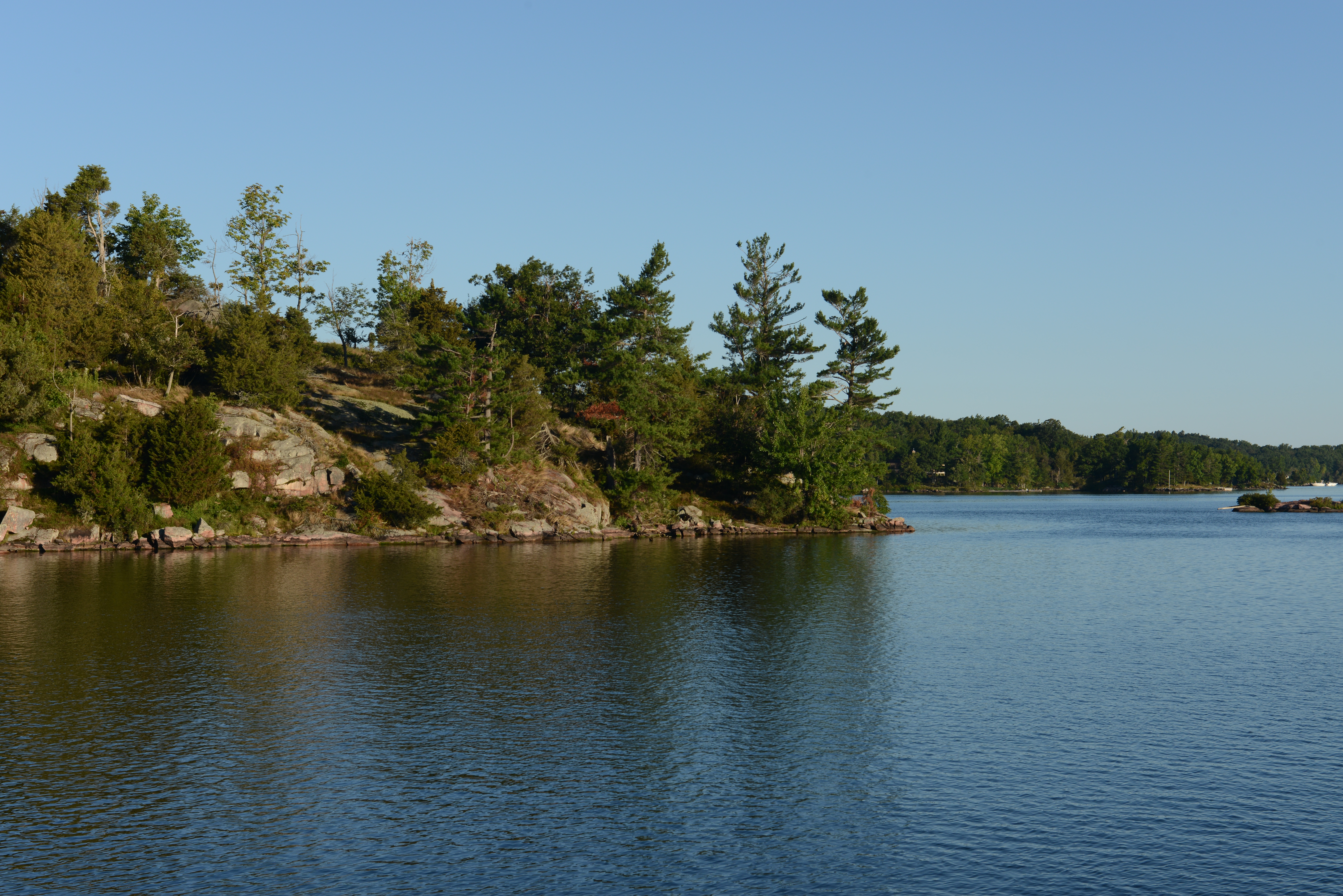
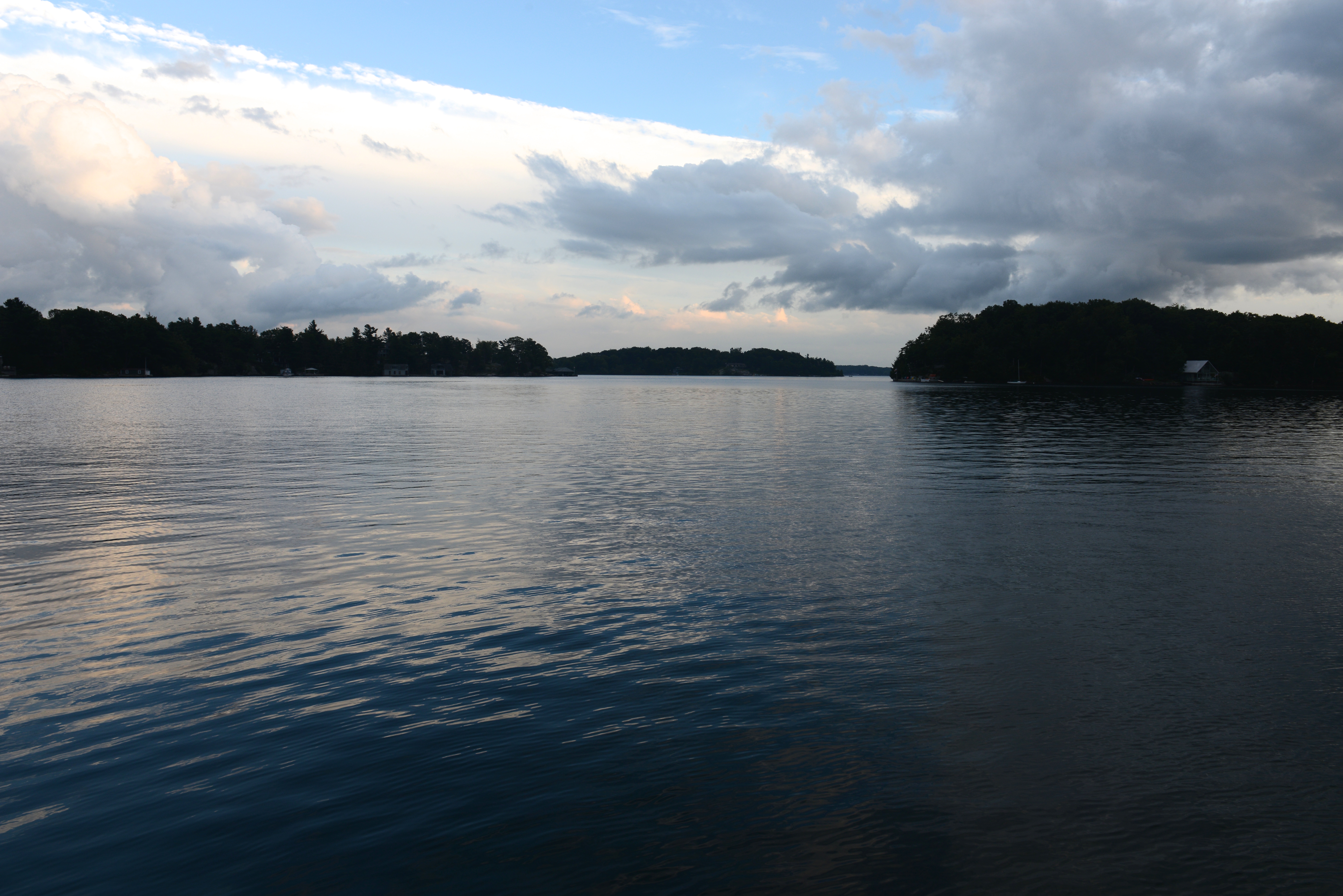
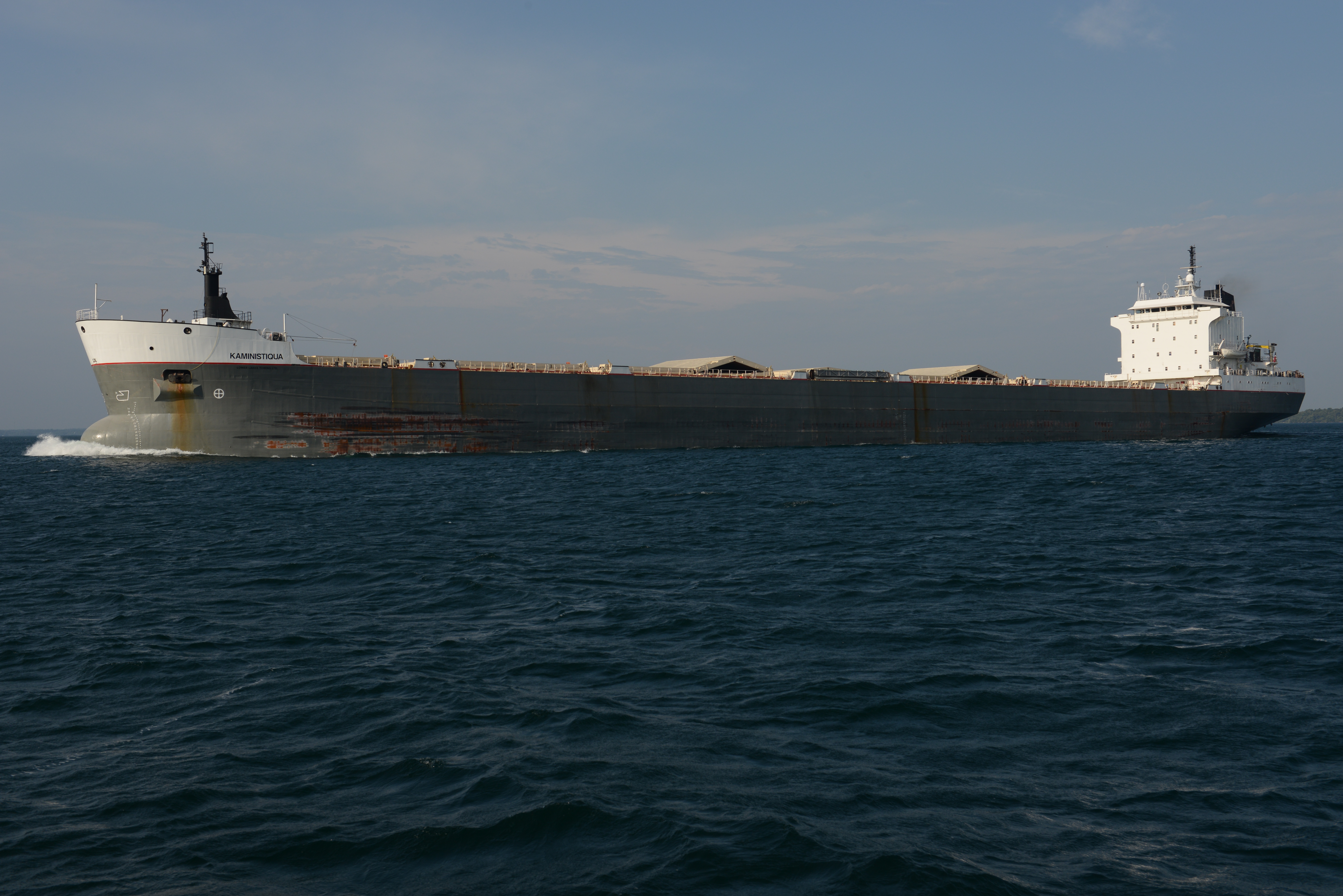
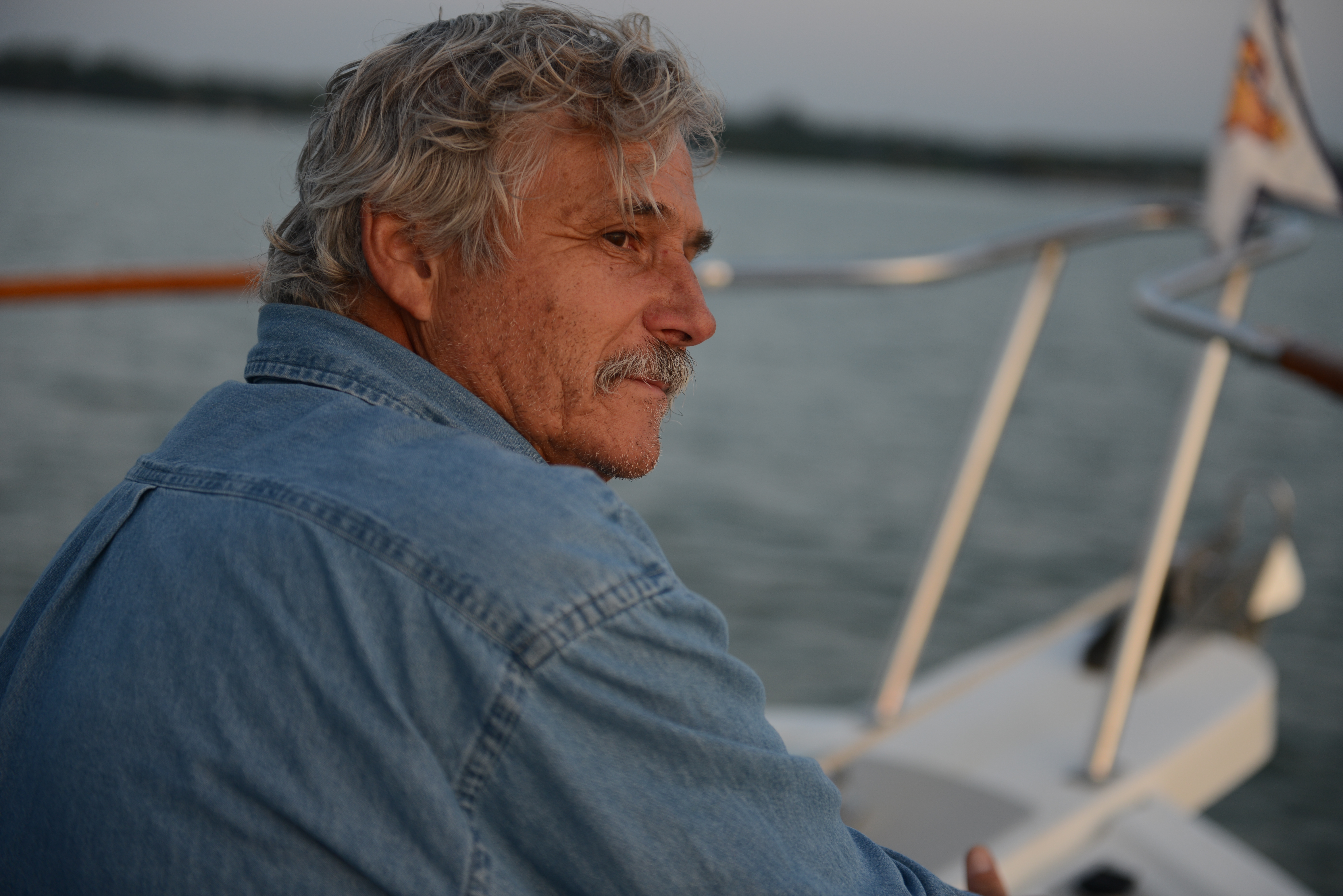
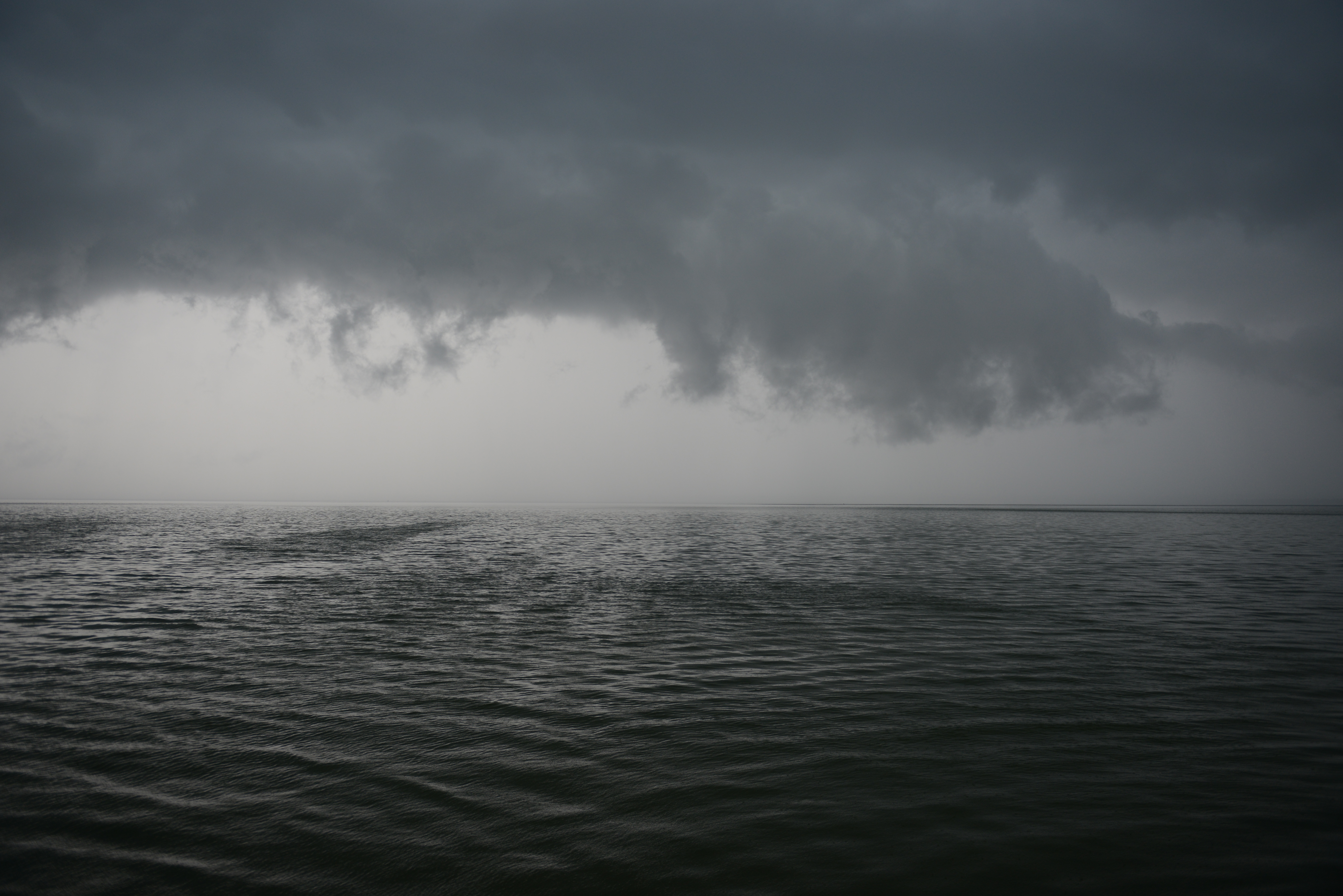
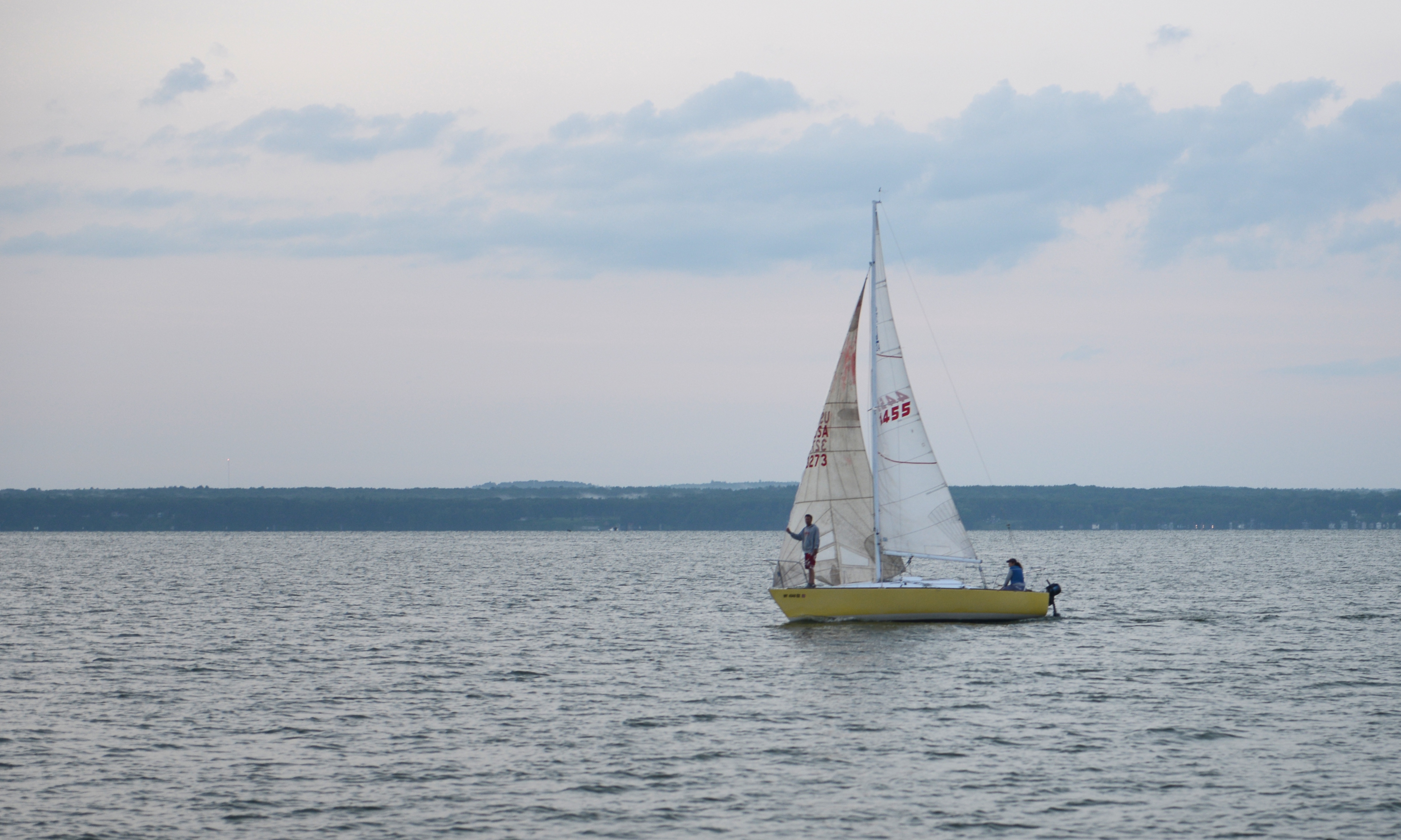
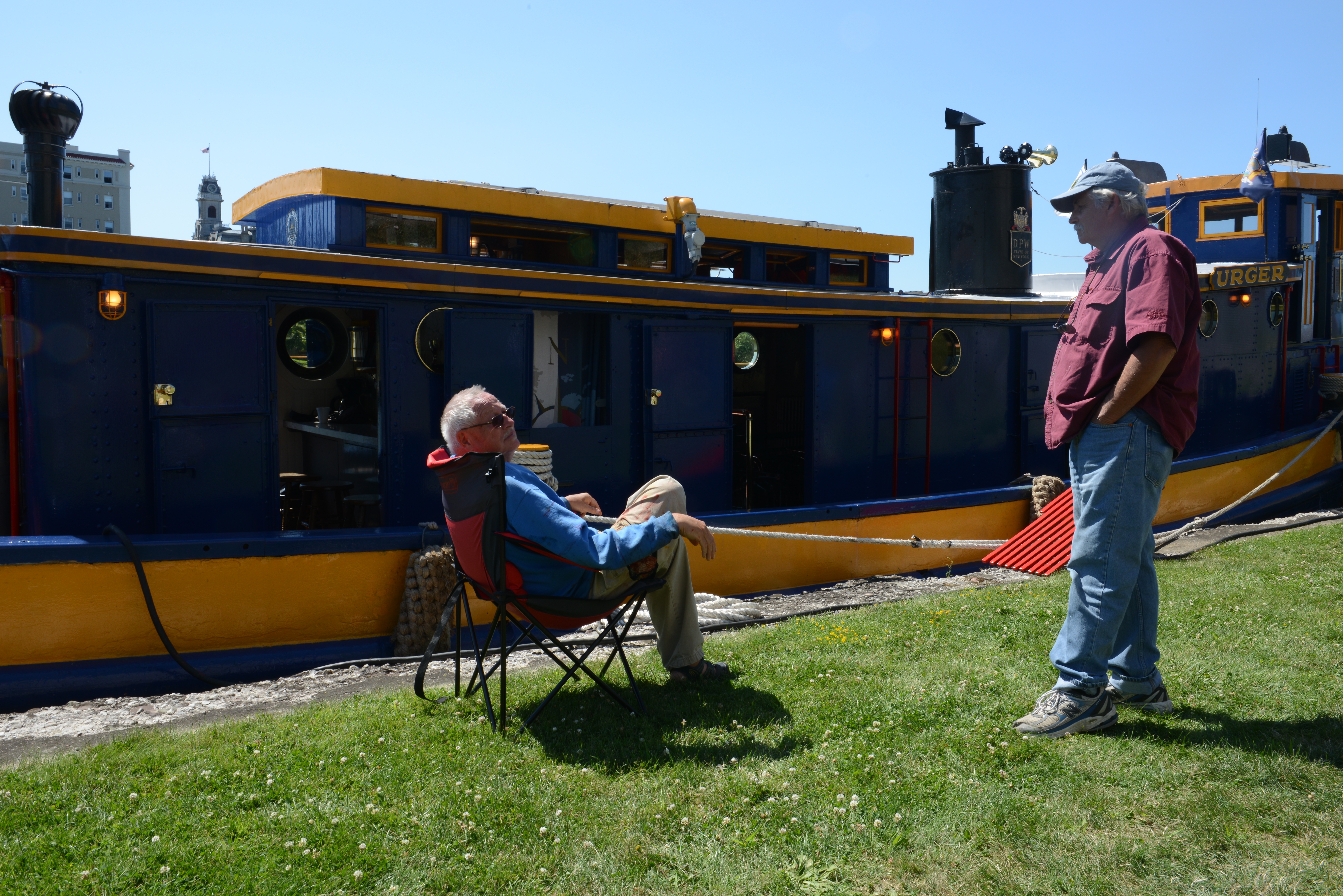
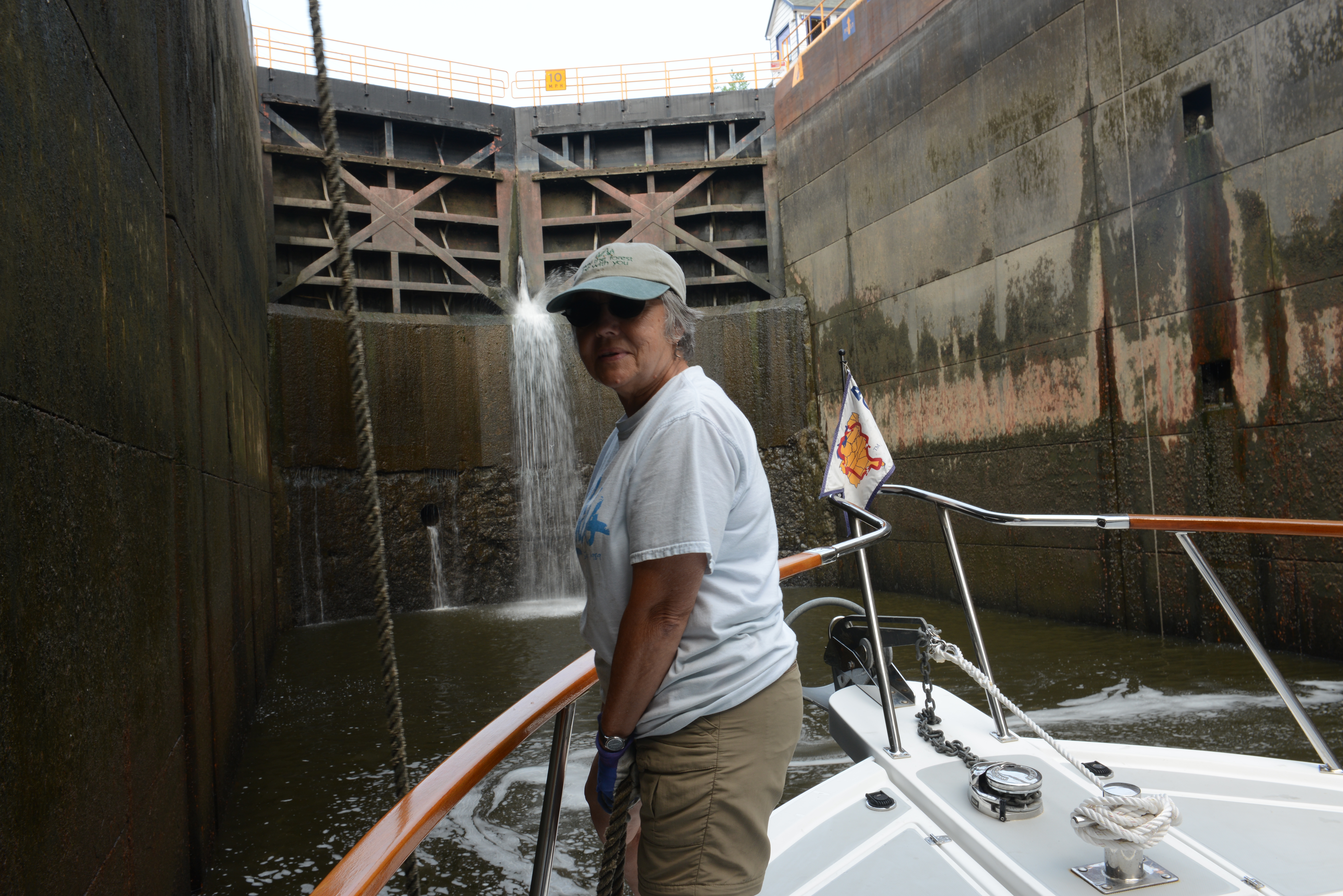
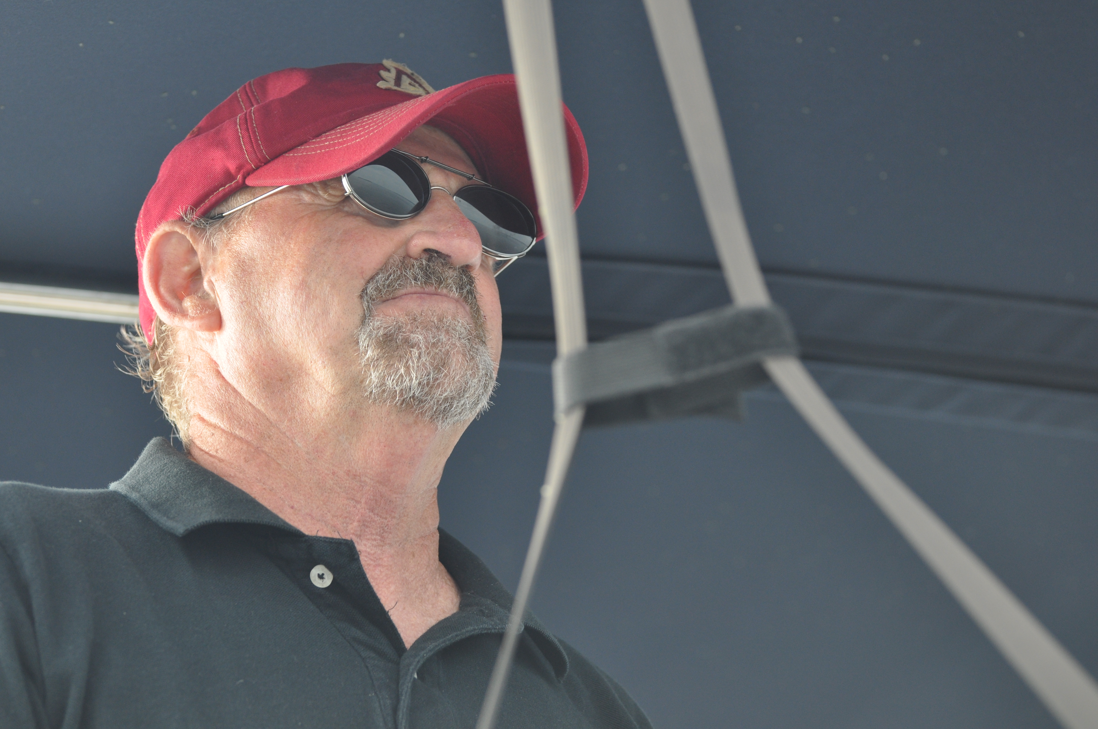
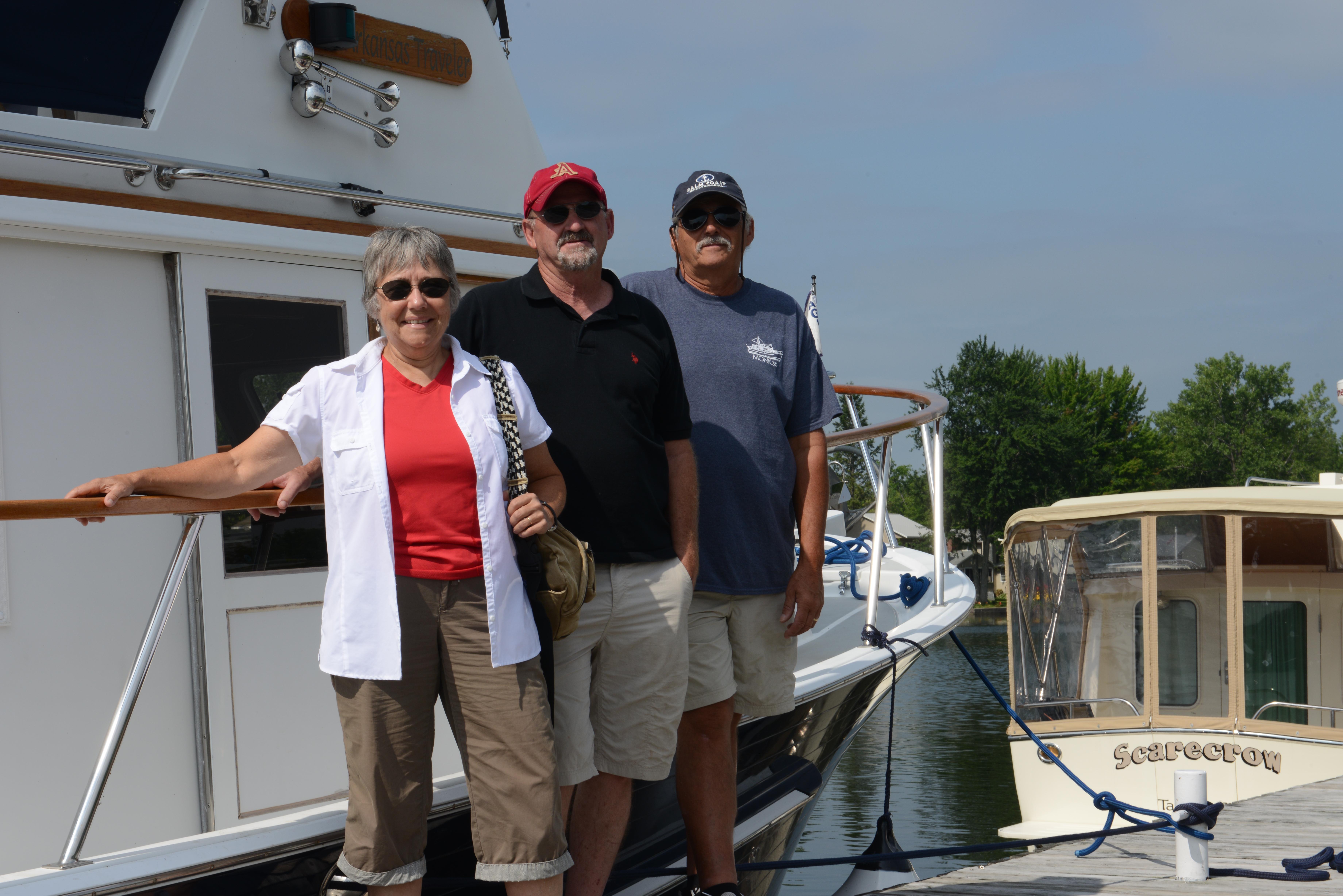
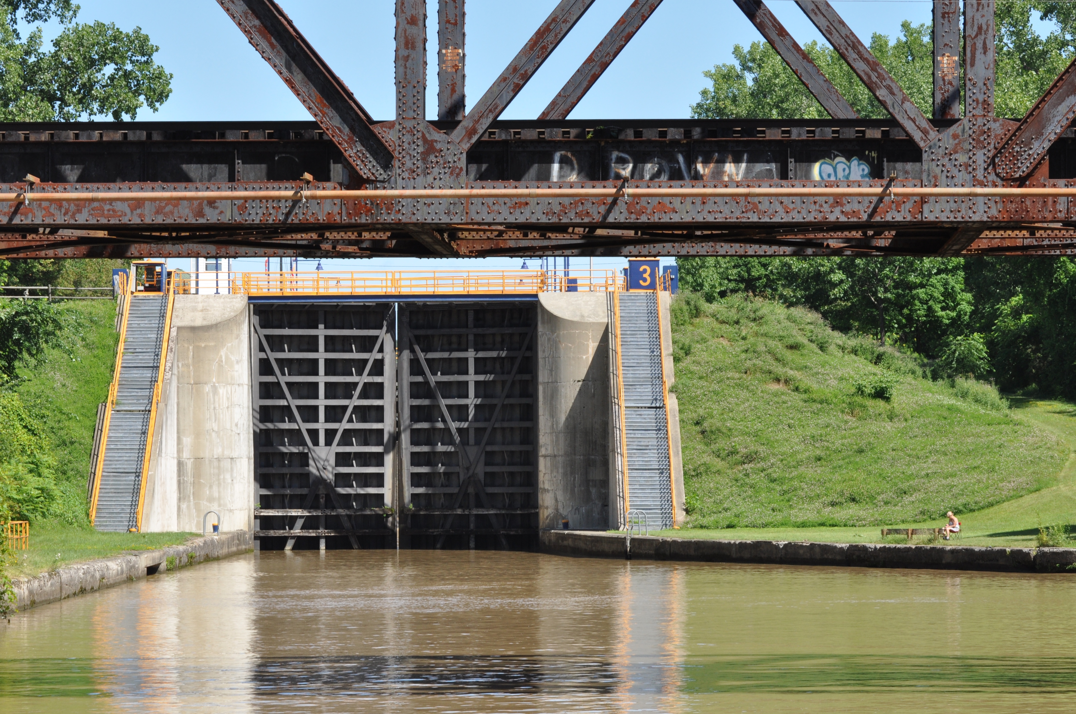
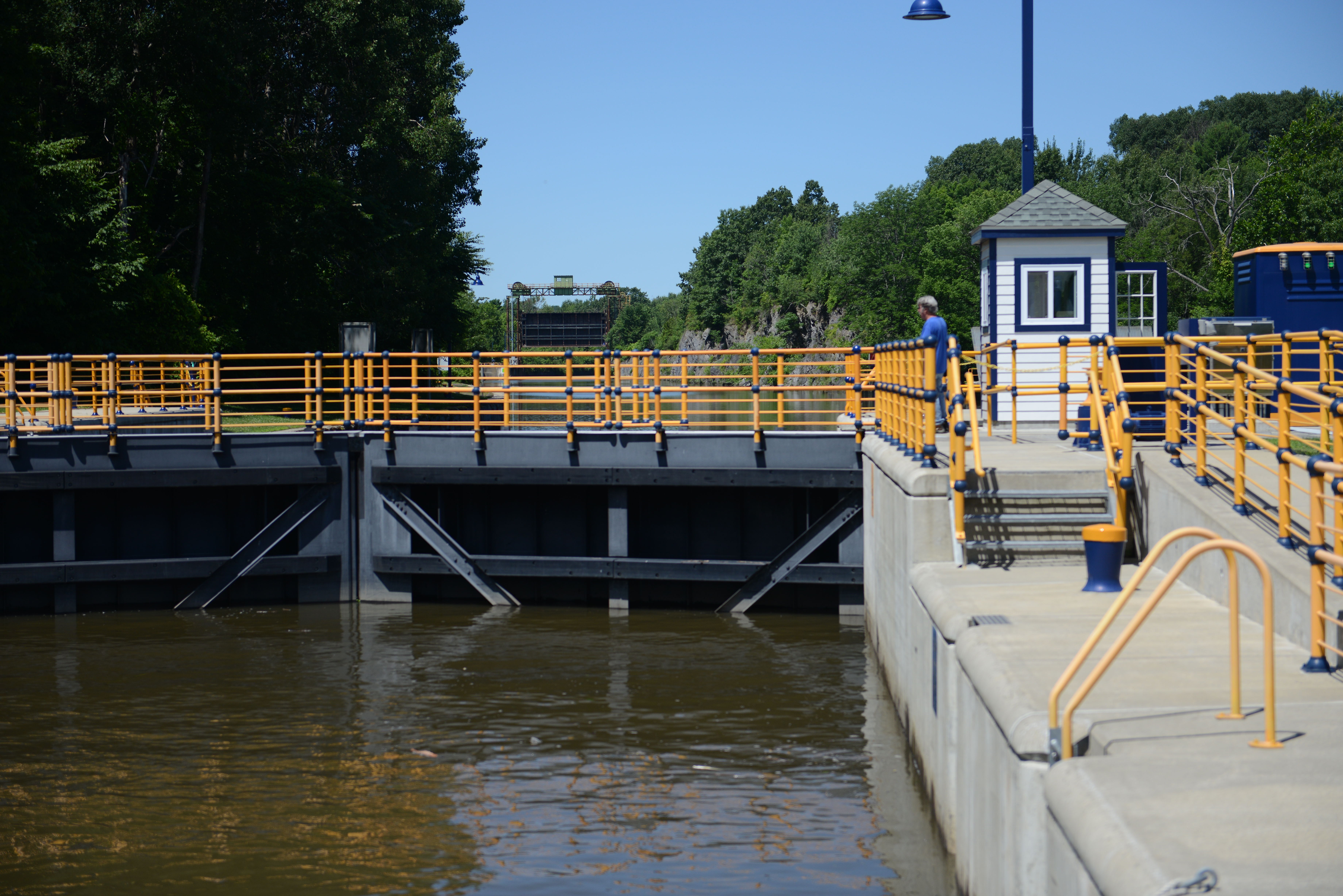
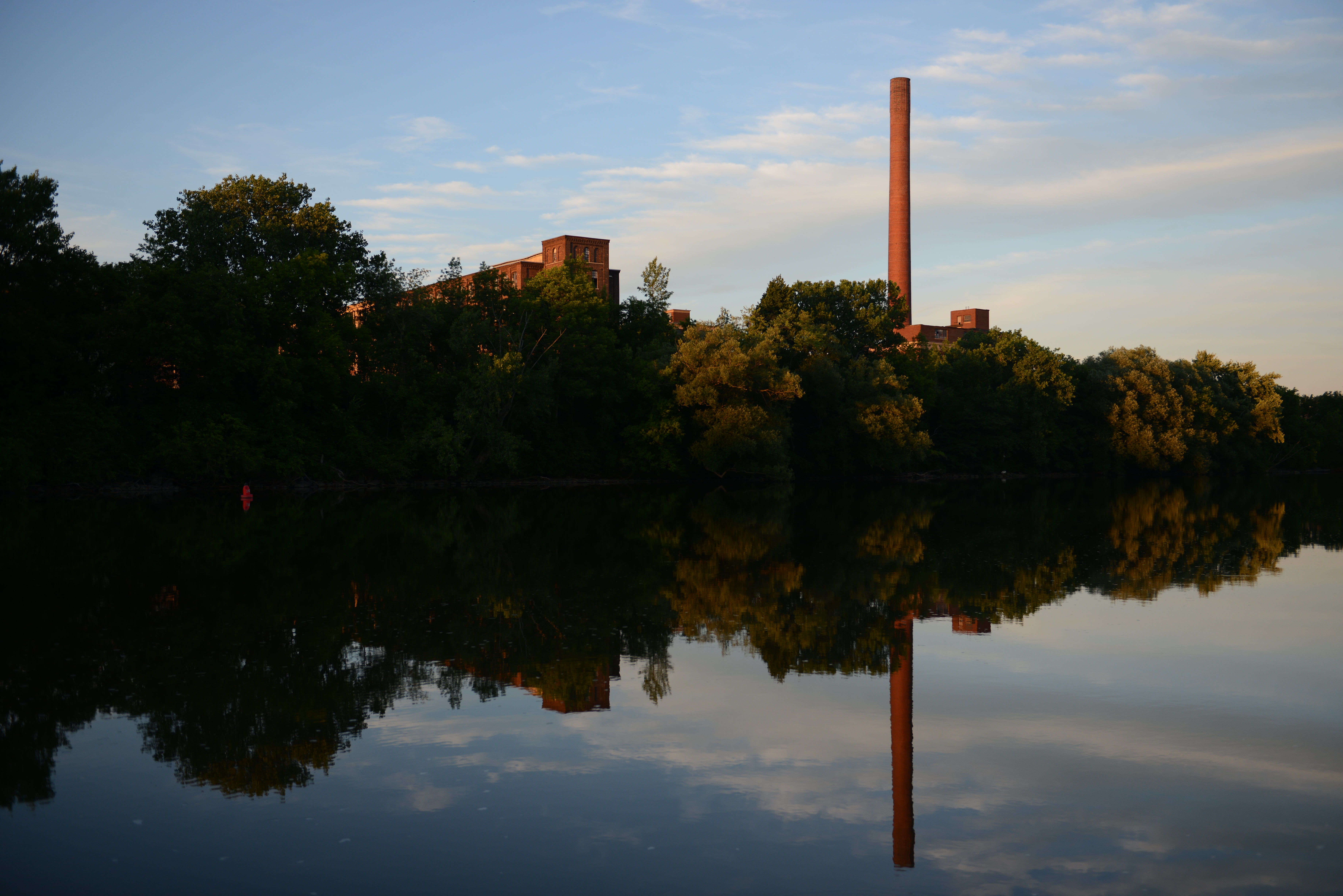
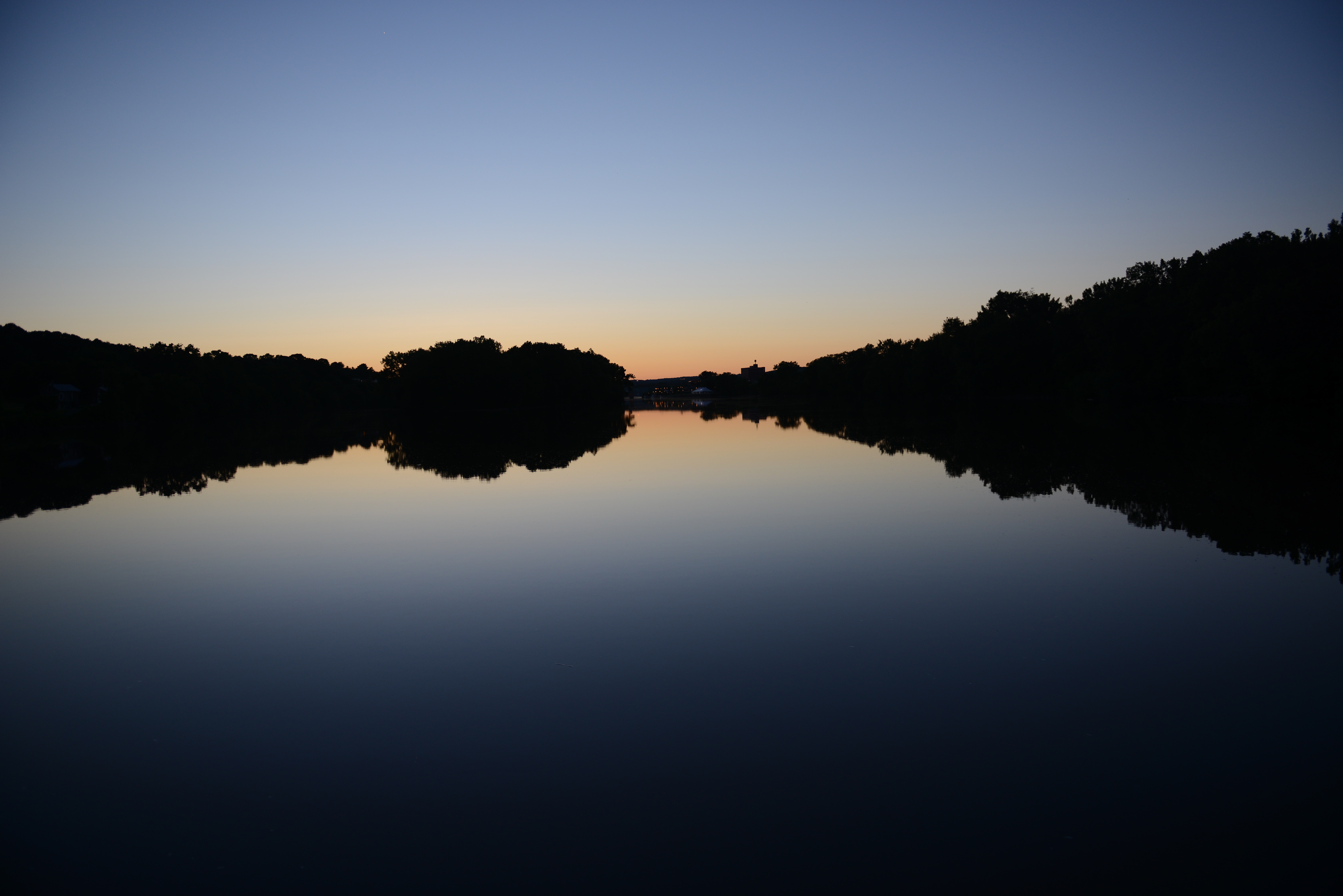
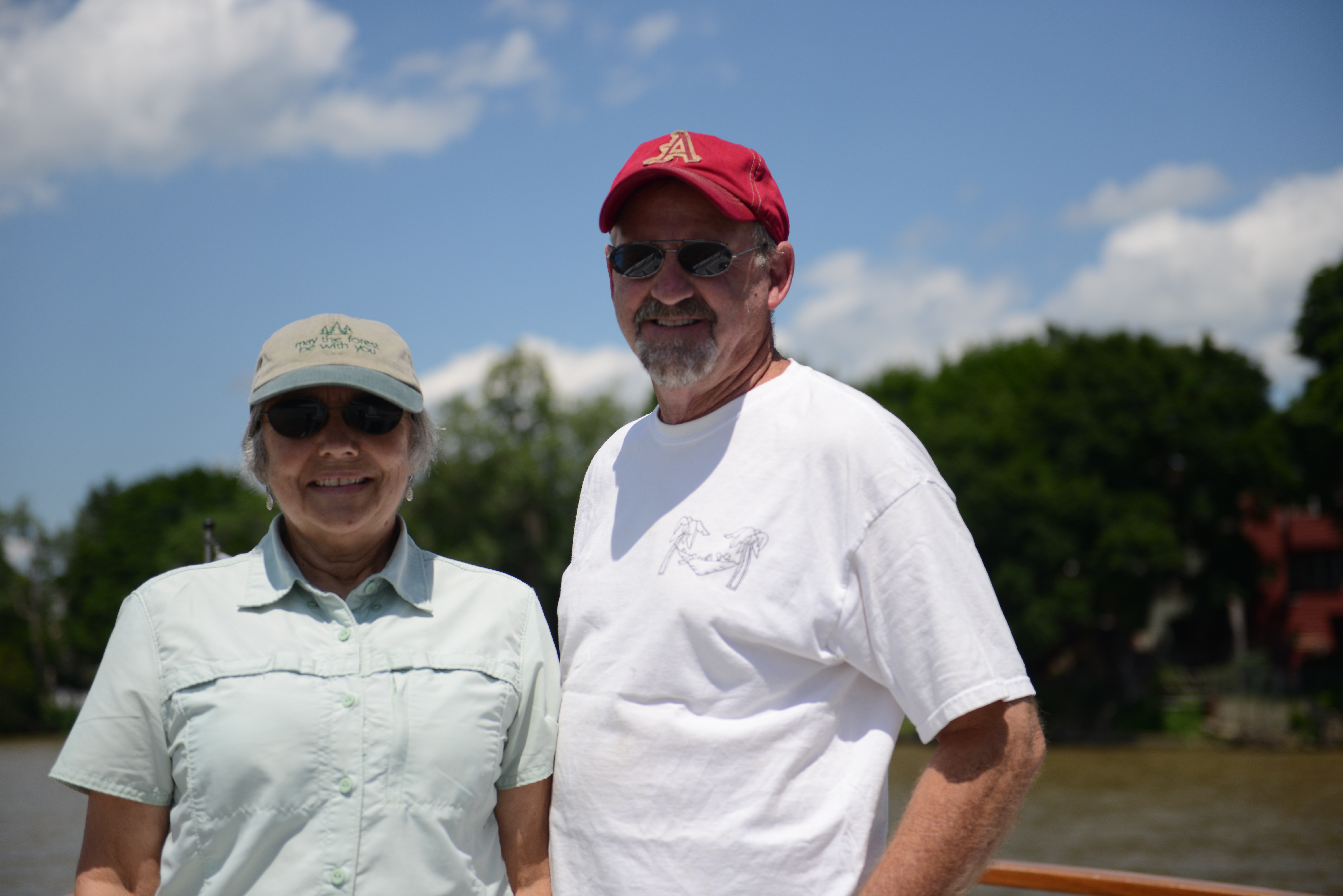
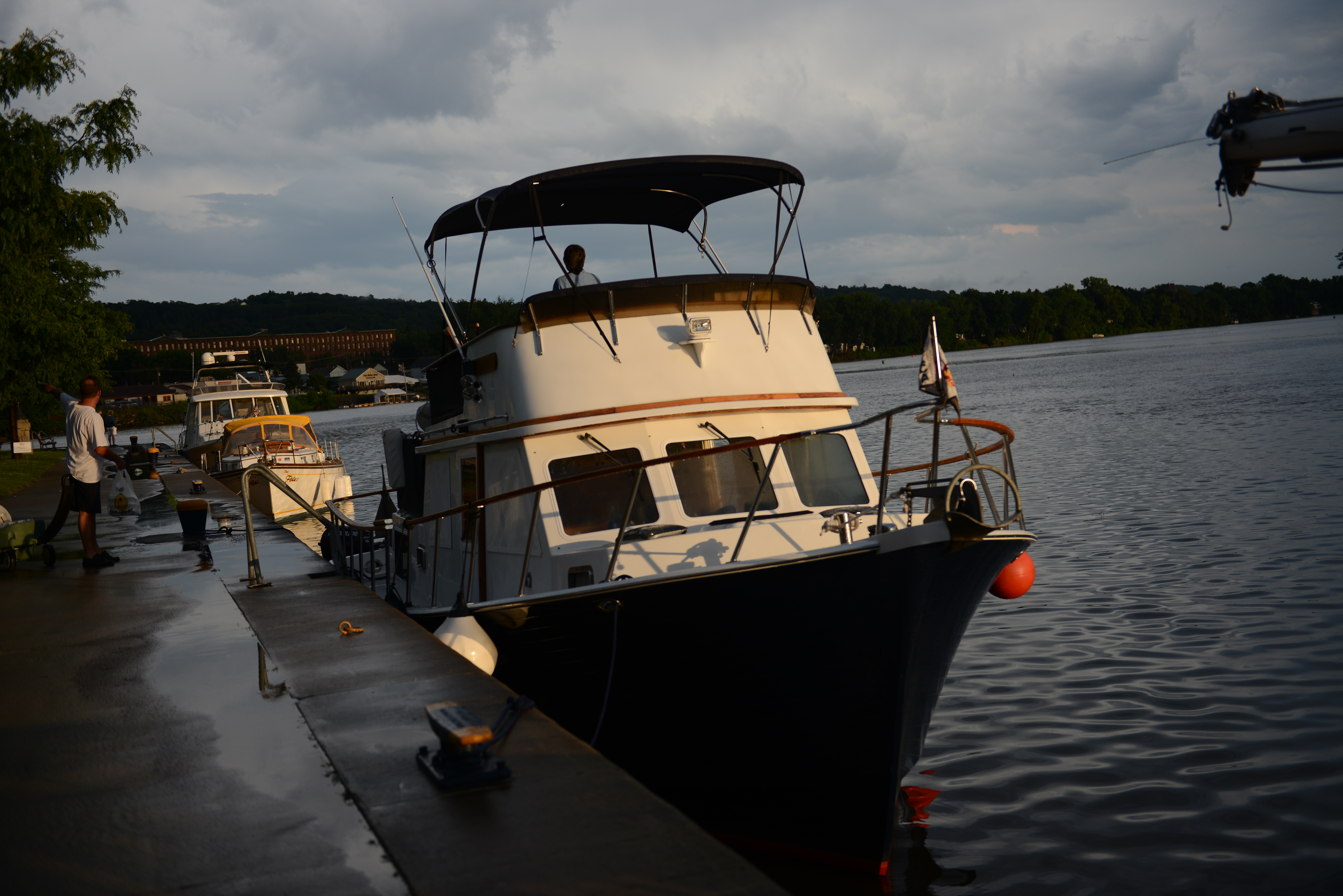
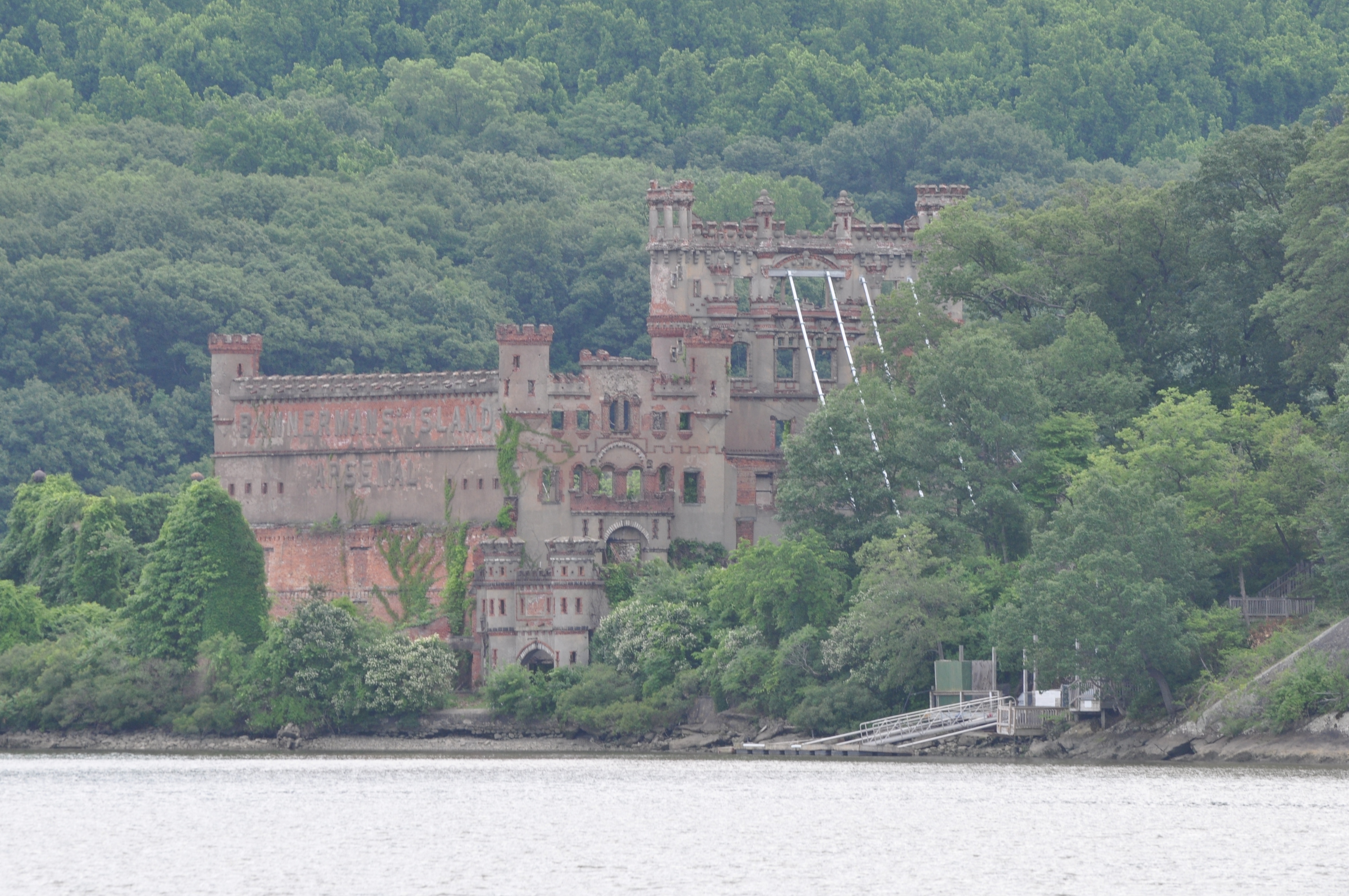
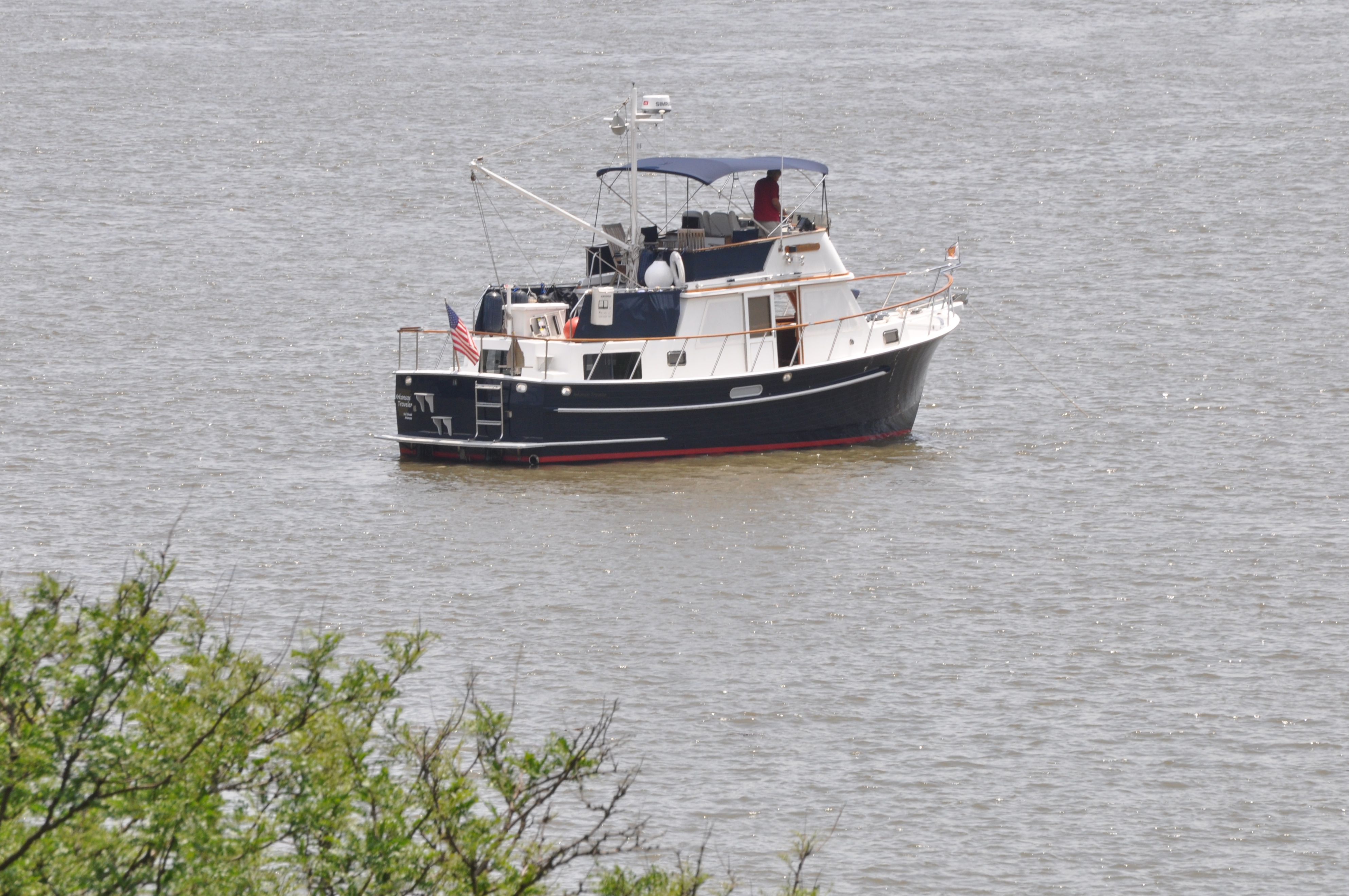
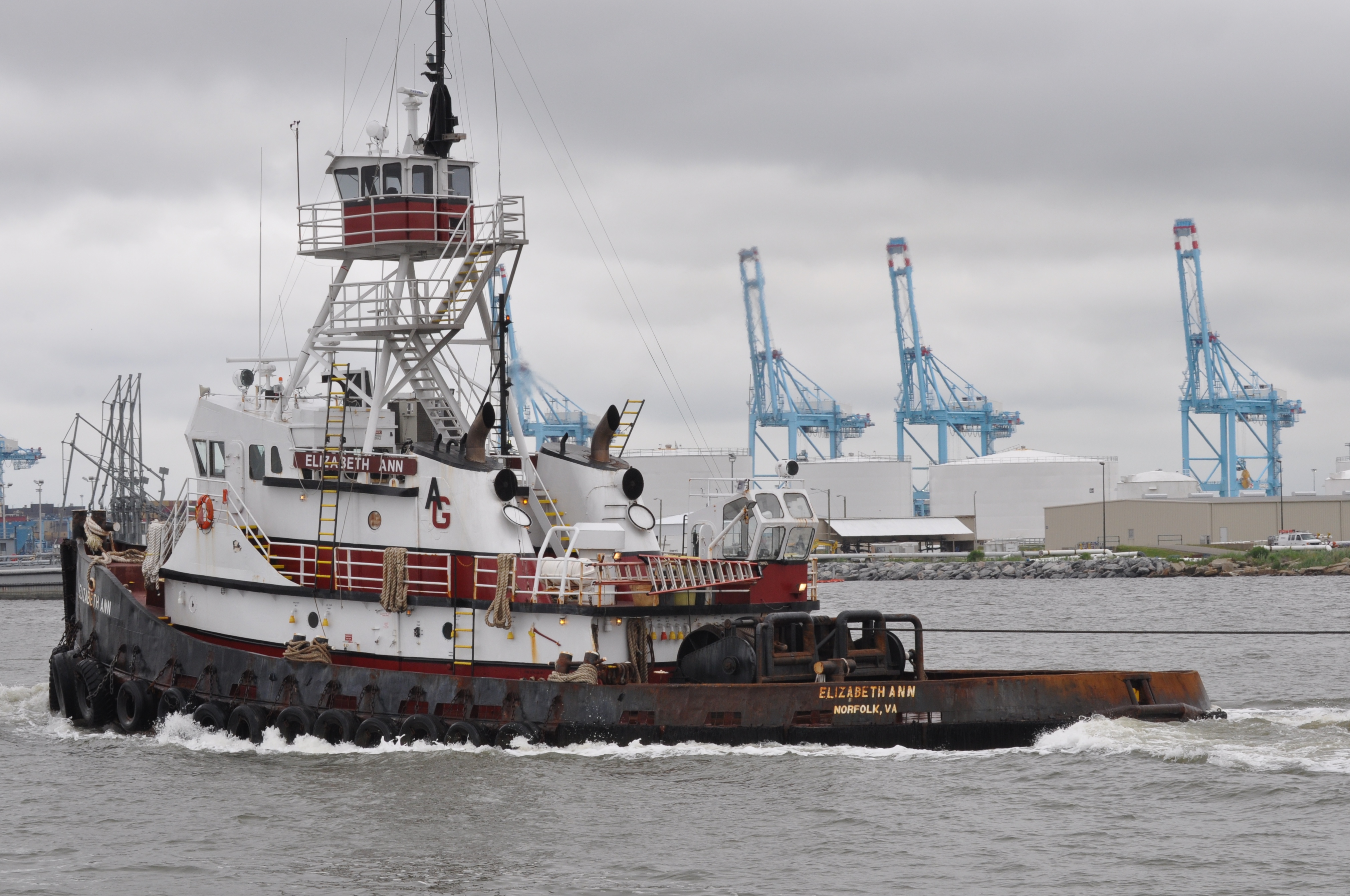
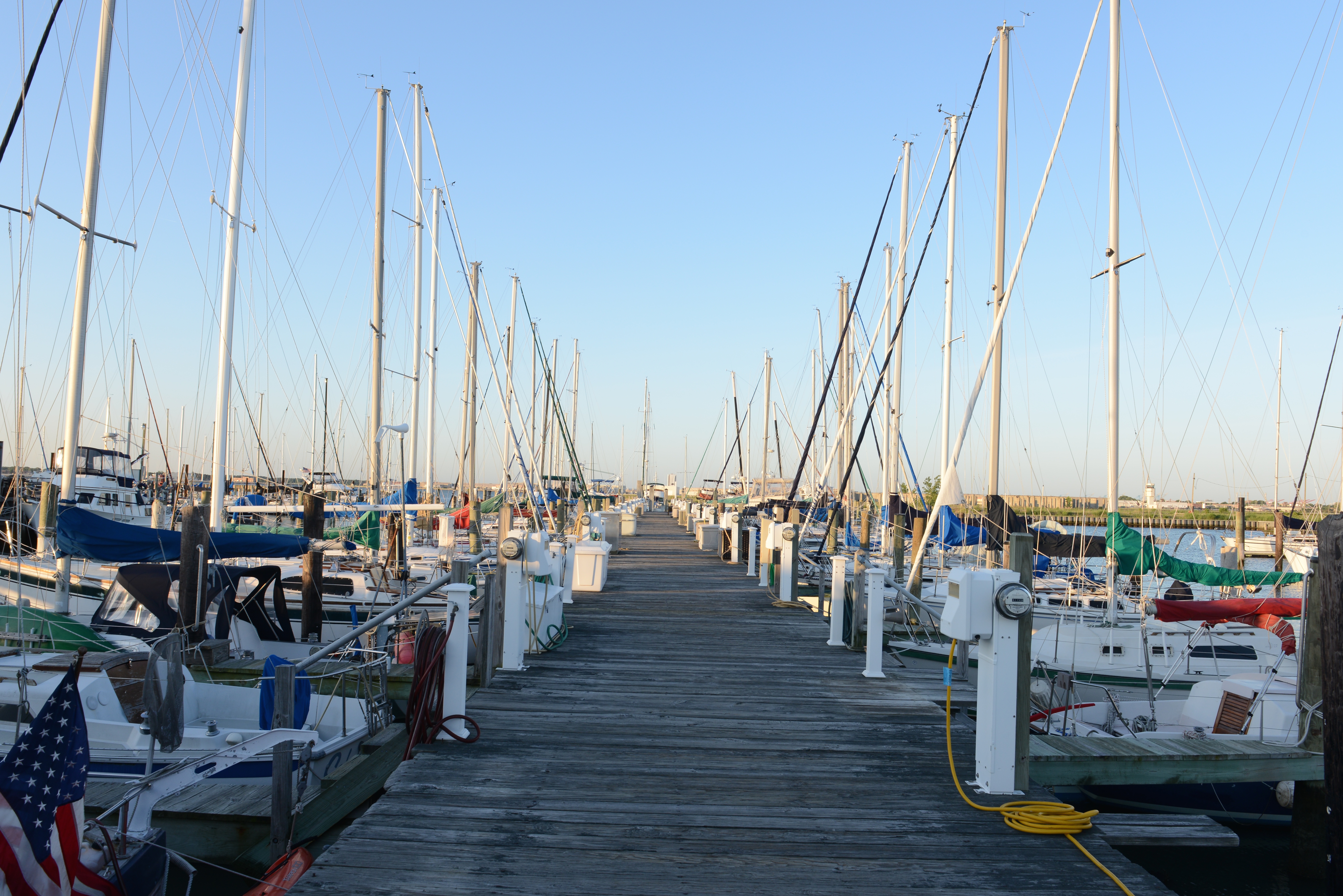
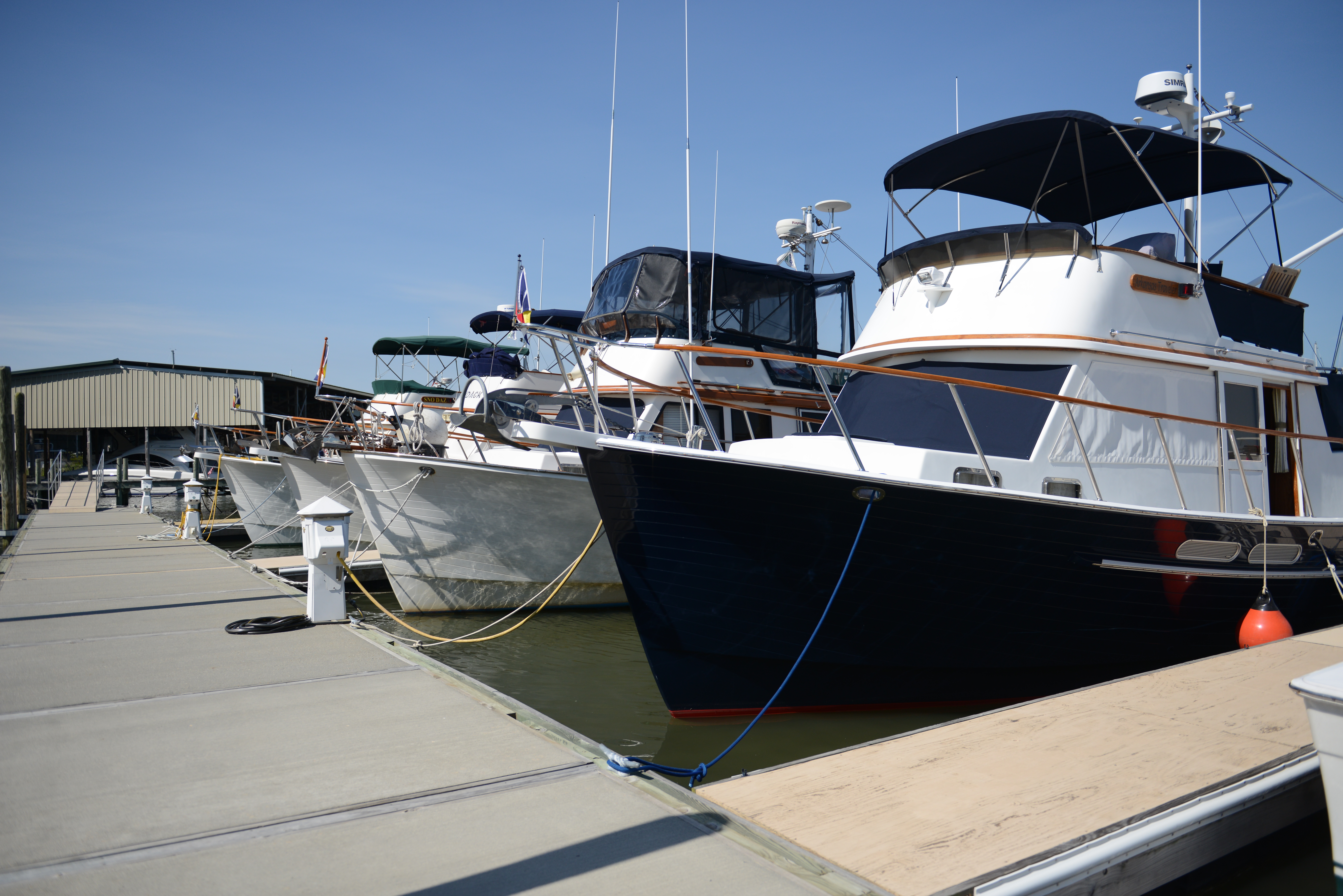
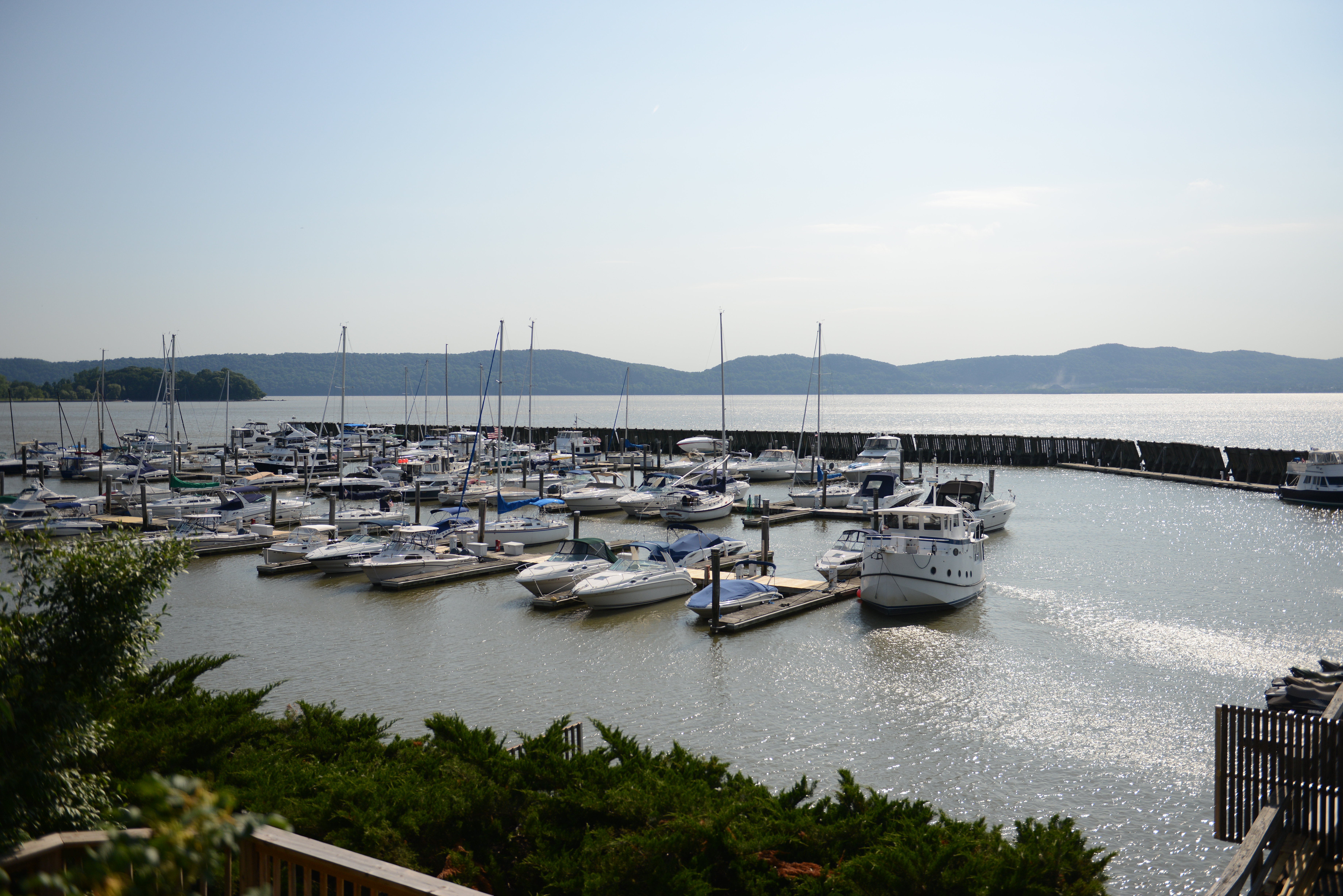
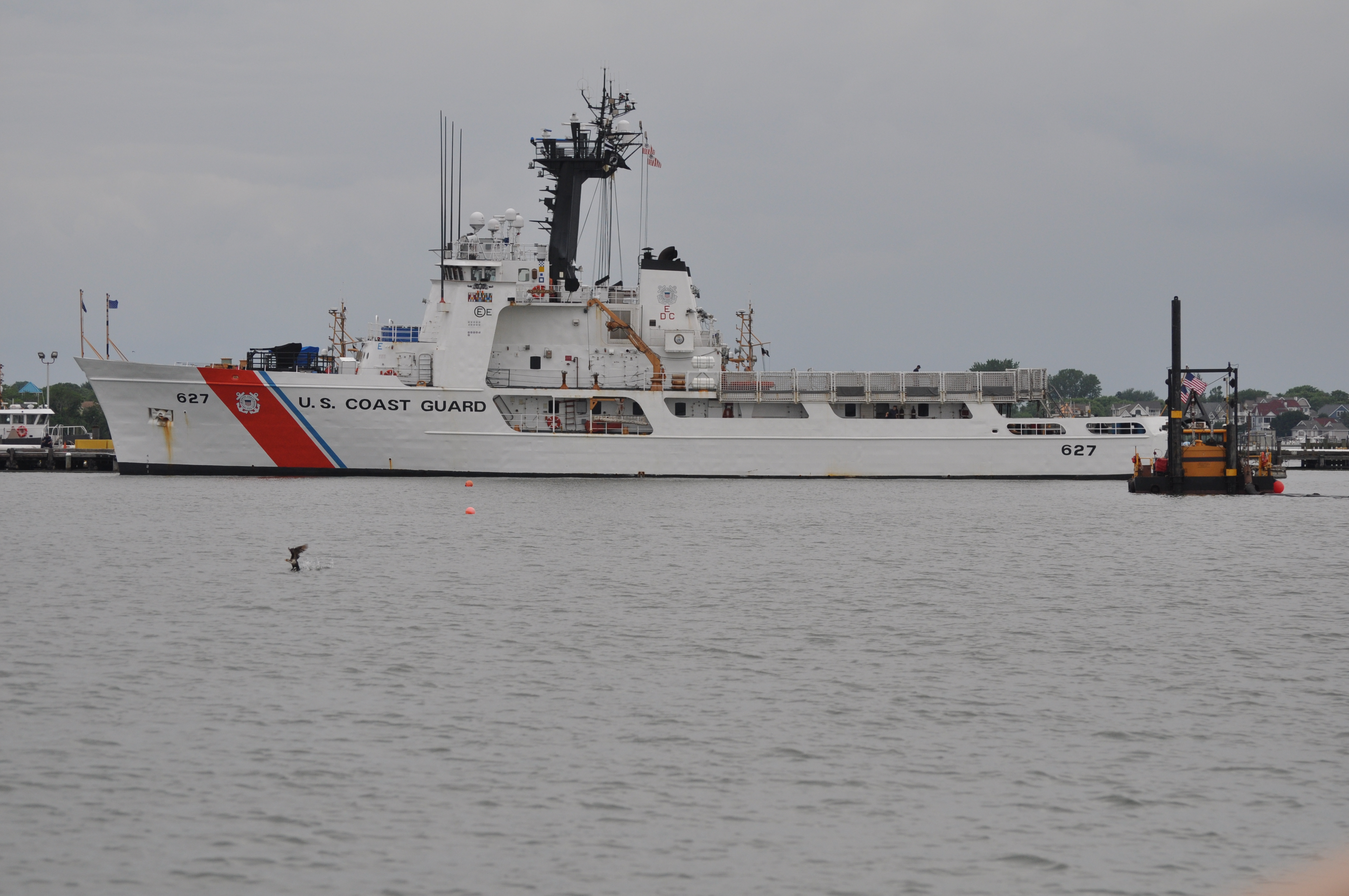
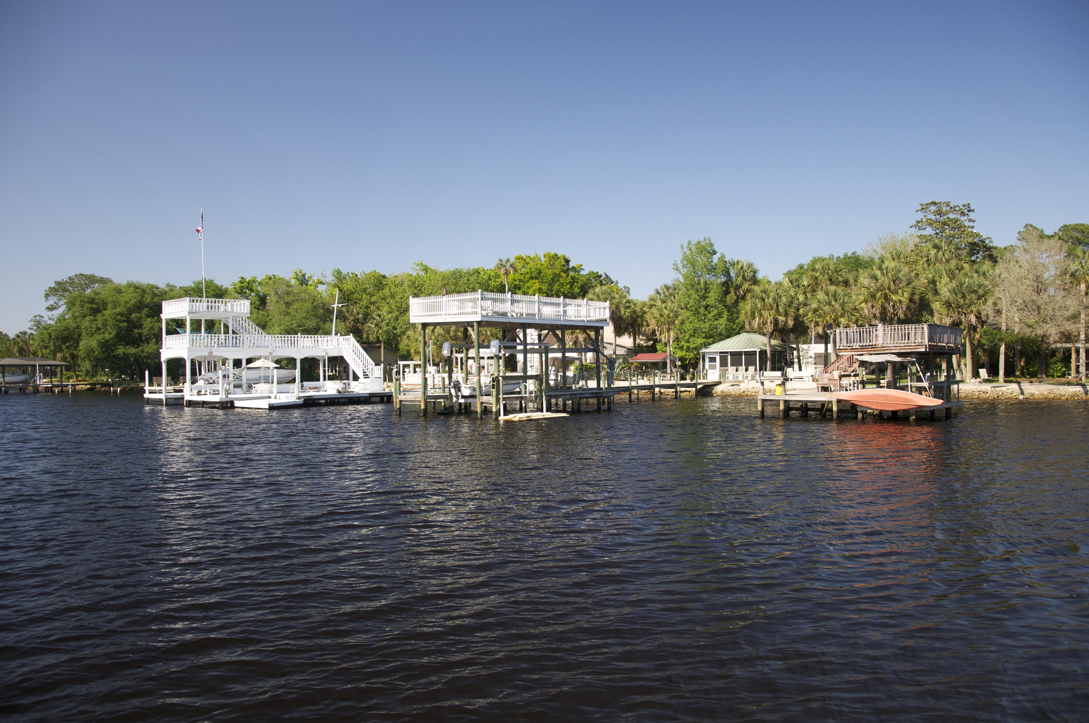
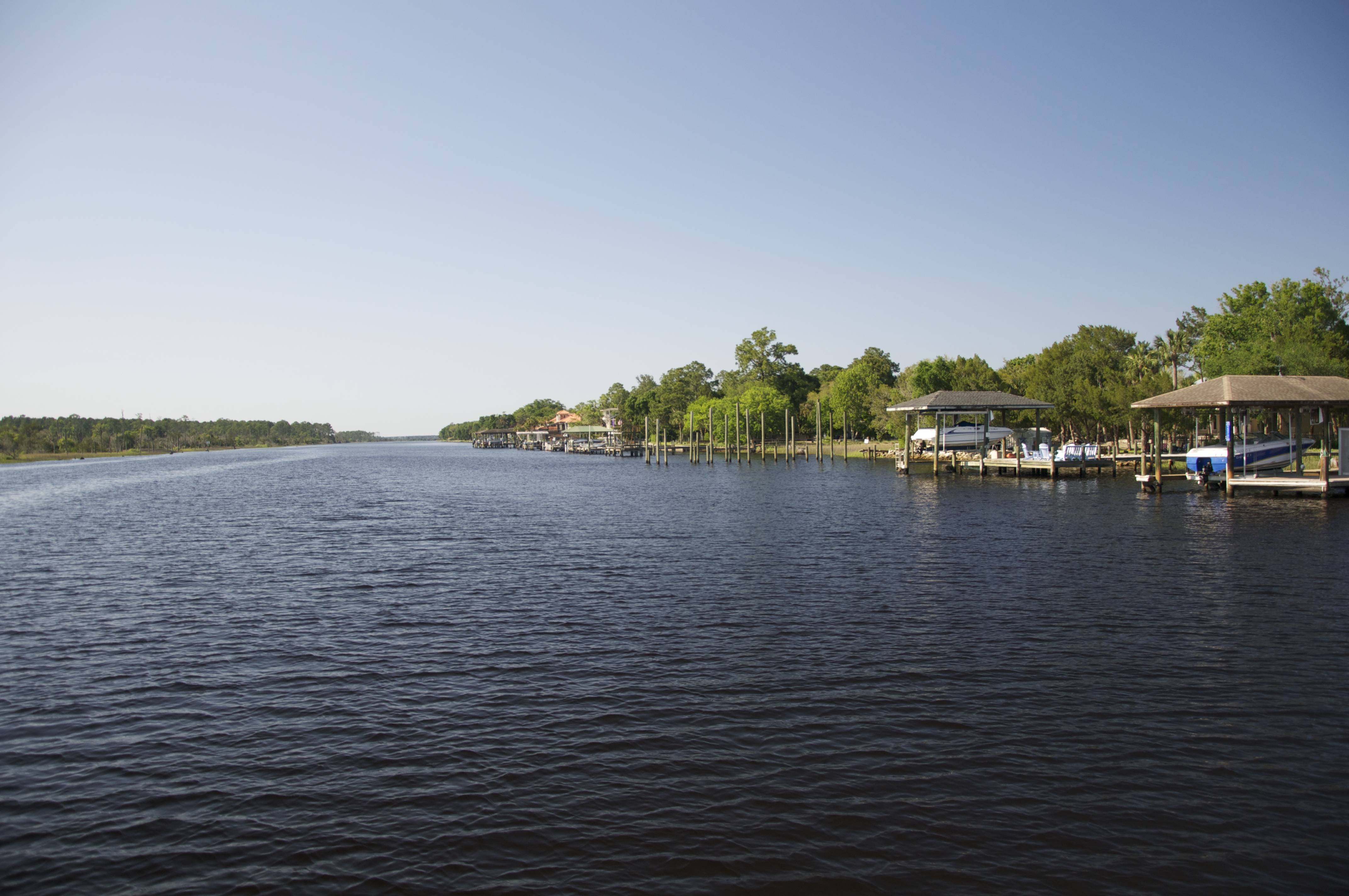
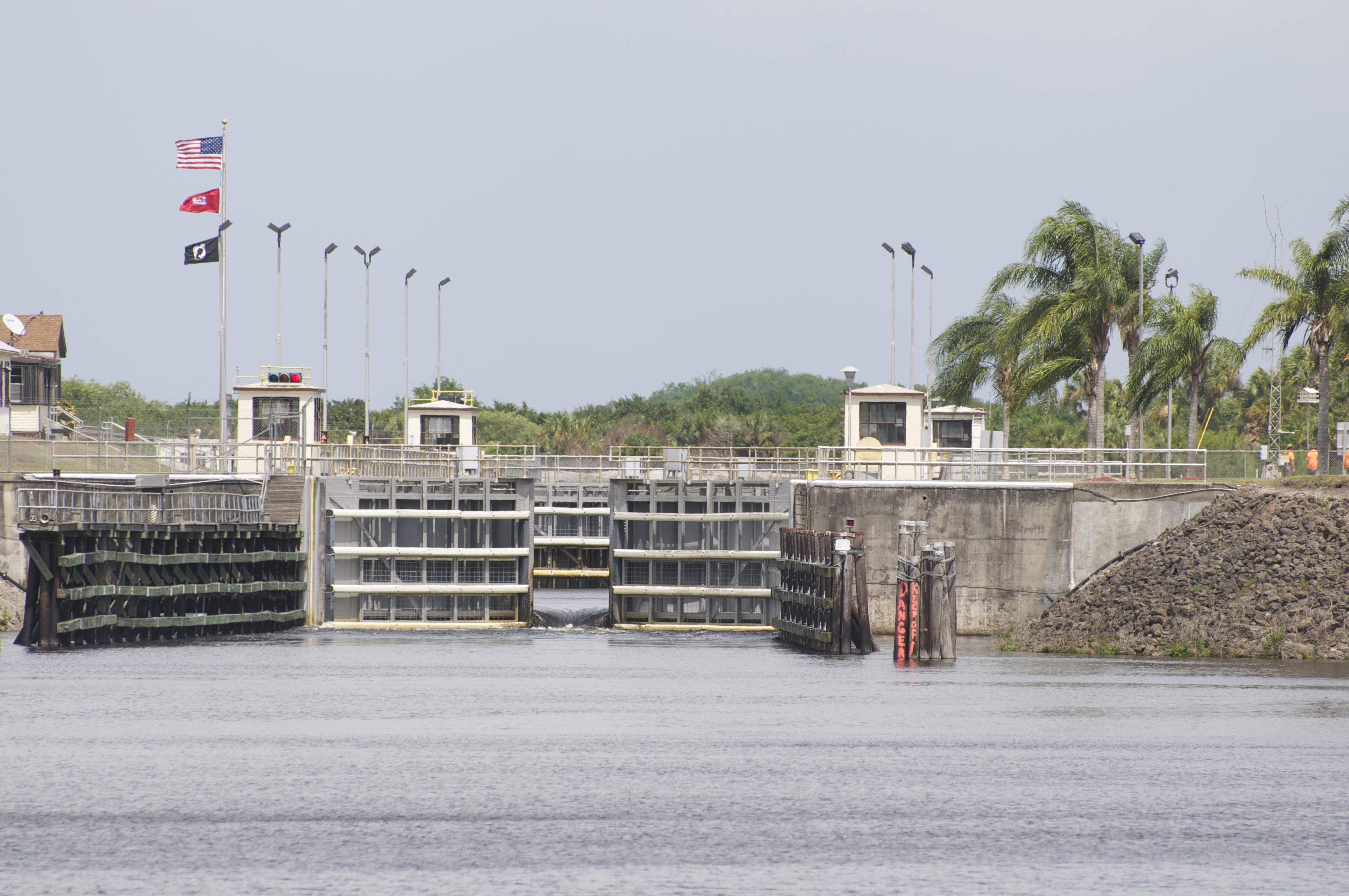
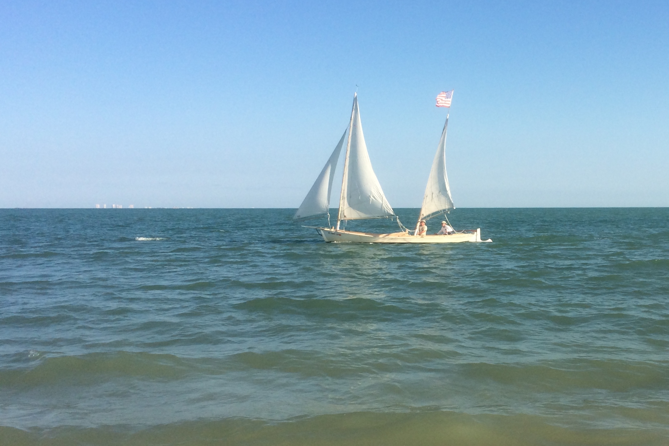
The crew of Arkansas Traveler continues to wait as the excess water flows downstream.