
Just north of the Tappan Zee is the area of the river known as the Hudson River Highlands. This area, made famous in the 1800s by landscape artists of the Hudson River School of Art, frames a beautiful waterway.
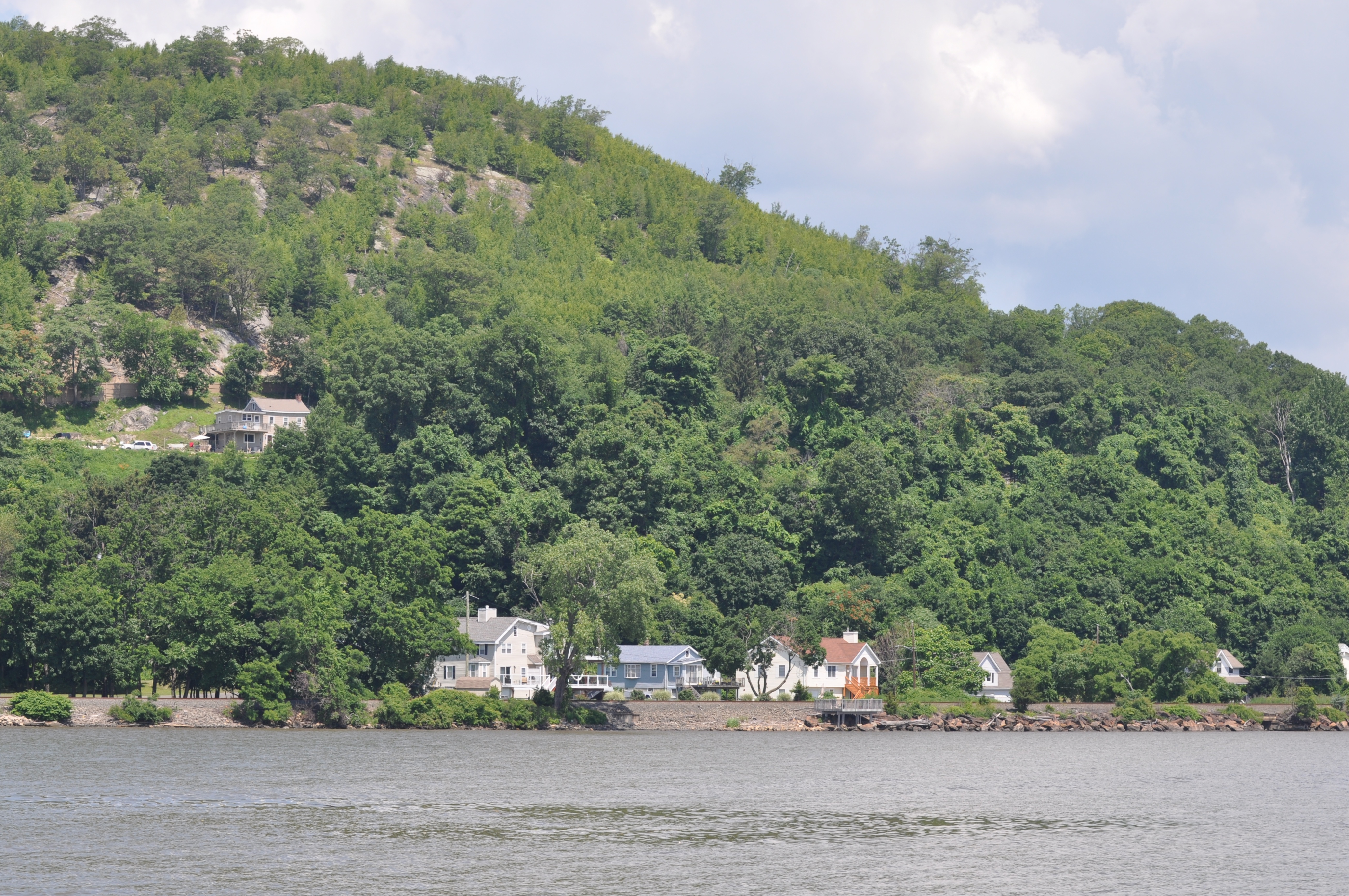
A village at the foot of Dunderberg Mountain.
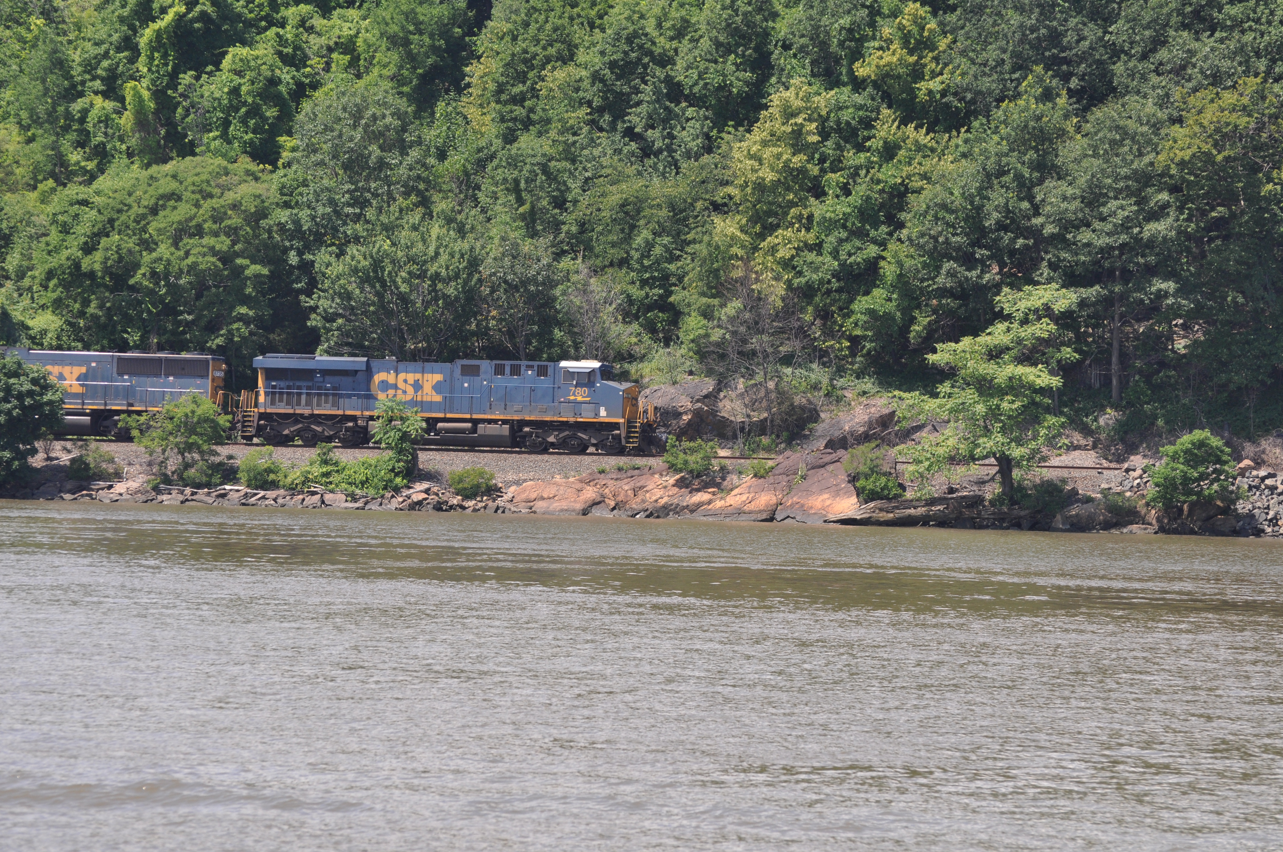
Trains run along the river’s edge both day and night.
Paul, a friend who lives in New York City, came aboard in Croton on Hudson to join us as we traveled north. Paul is an art dealer and specializes in 19th Century American art. He is the perfect tour guide for cruising through the Highlands.
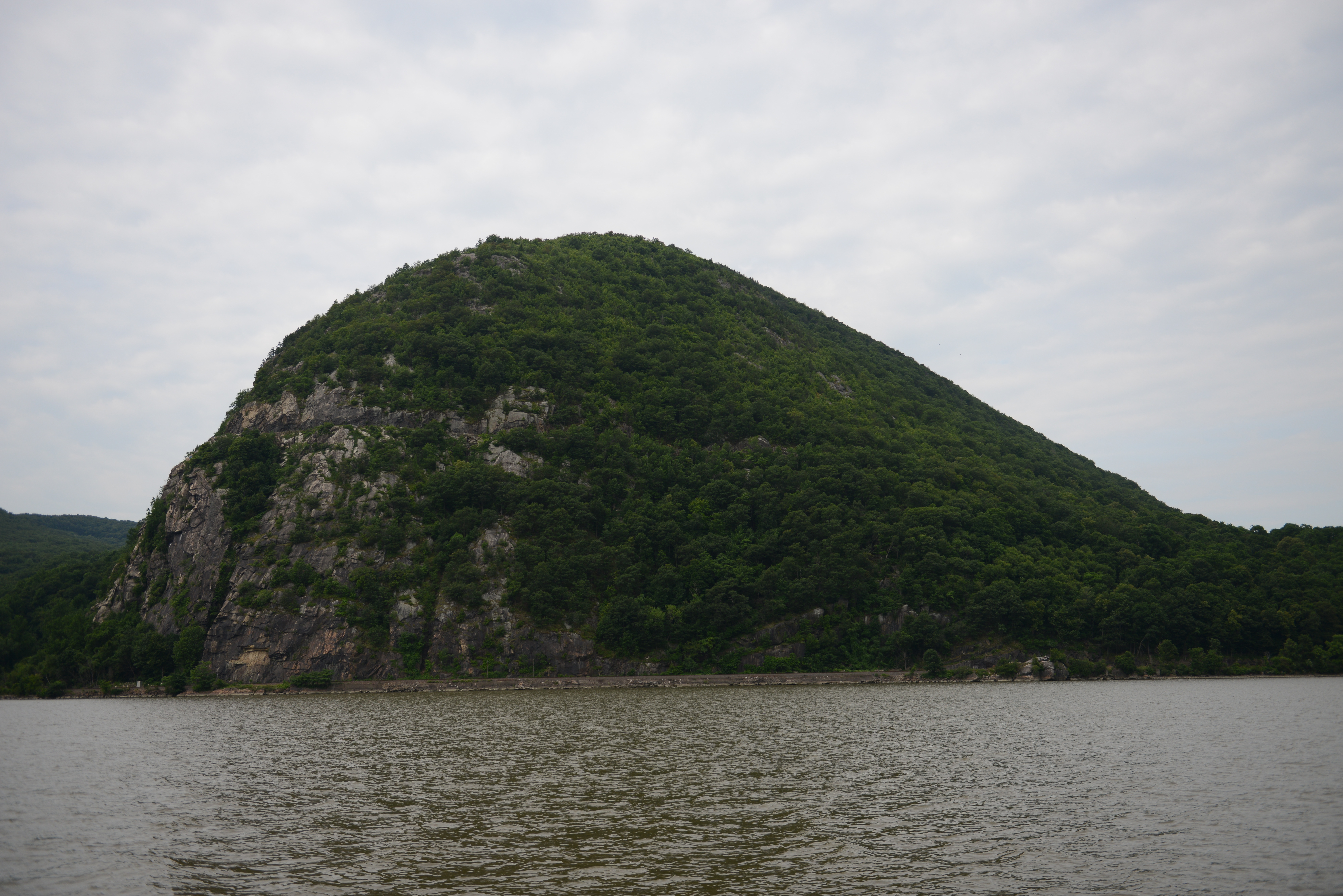
Dunderberg Mountain marks the southern end of the Highlands and is rumored by the Dutch to contain a goblin that conjures up summer storms upon passing sailors. We did see an odd flashing light coming from within the forest as passed. We stopped at Bear Mountain and anchored for lunch.
After lunch and a quick trip ashore in the dinghy to the state park, we continued north under the Bear Mountain Bridge. This suspension bridge, completed in 1924, was the world’s largest of its type at the time it was built.
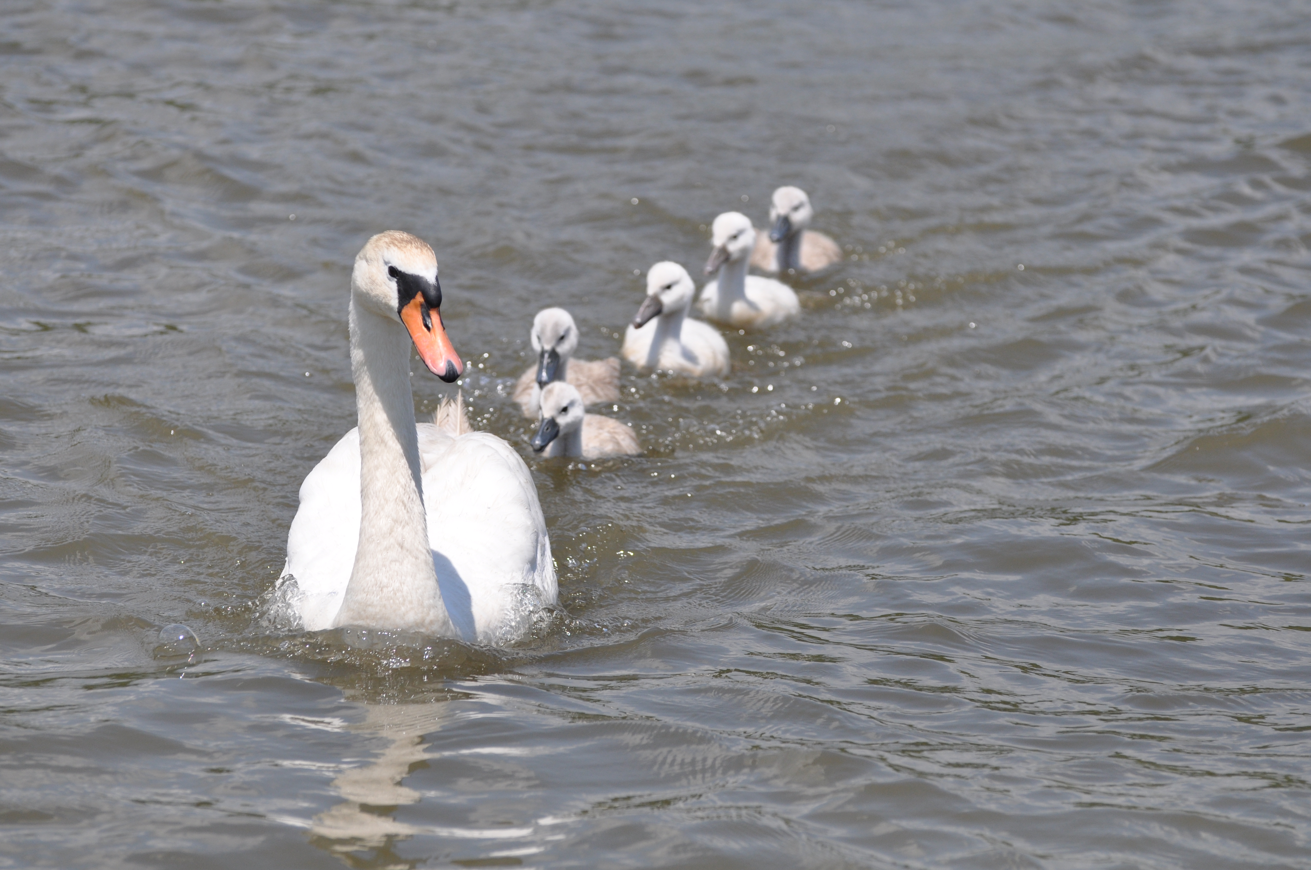
A family of mute swans come up to the Traveler while she is at anchor.
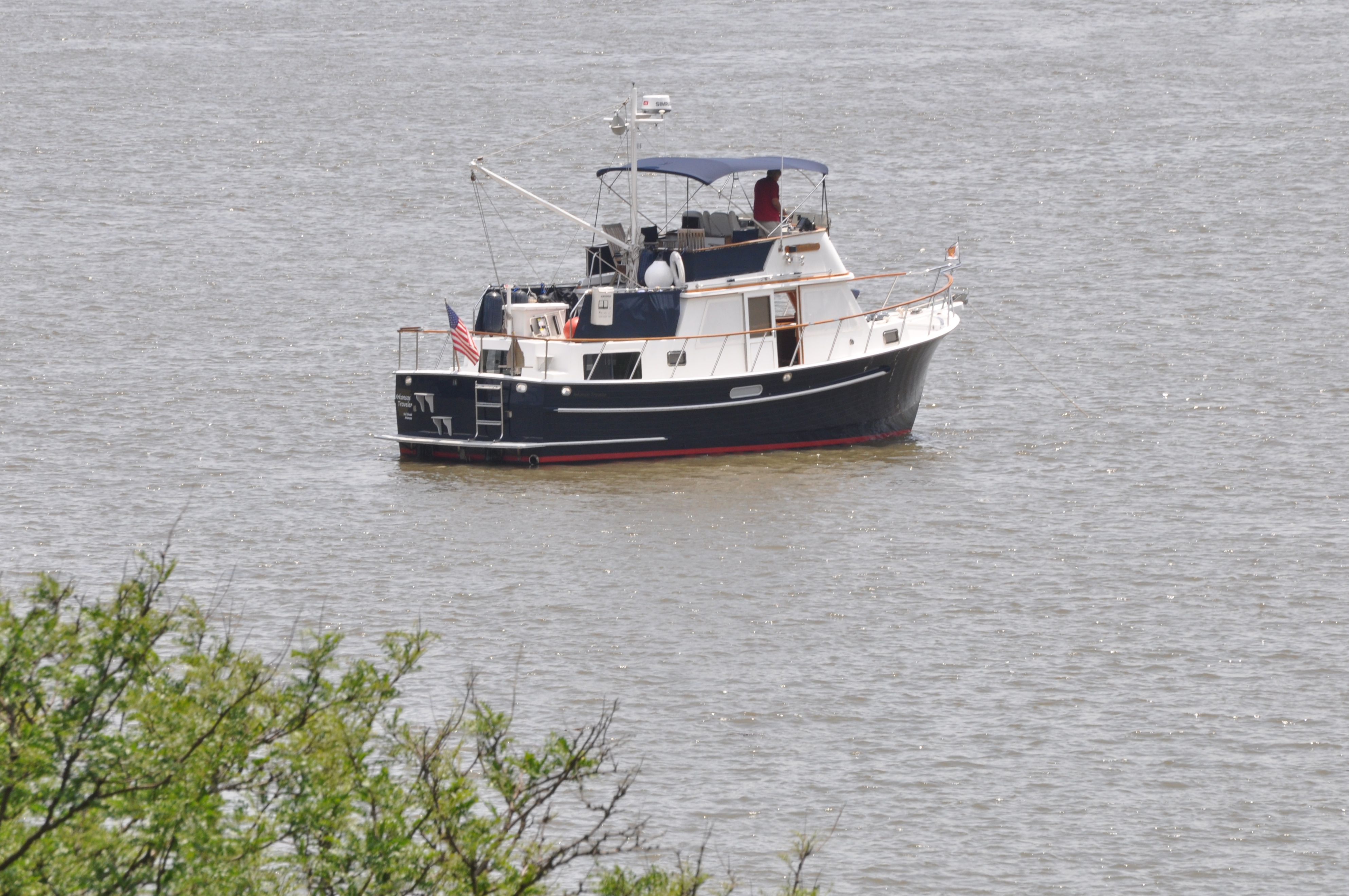
Arkansas Traveler at anchor off Bear Mountain State Park.
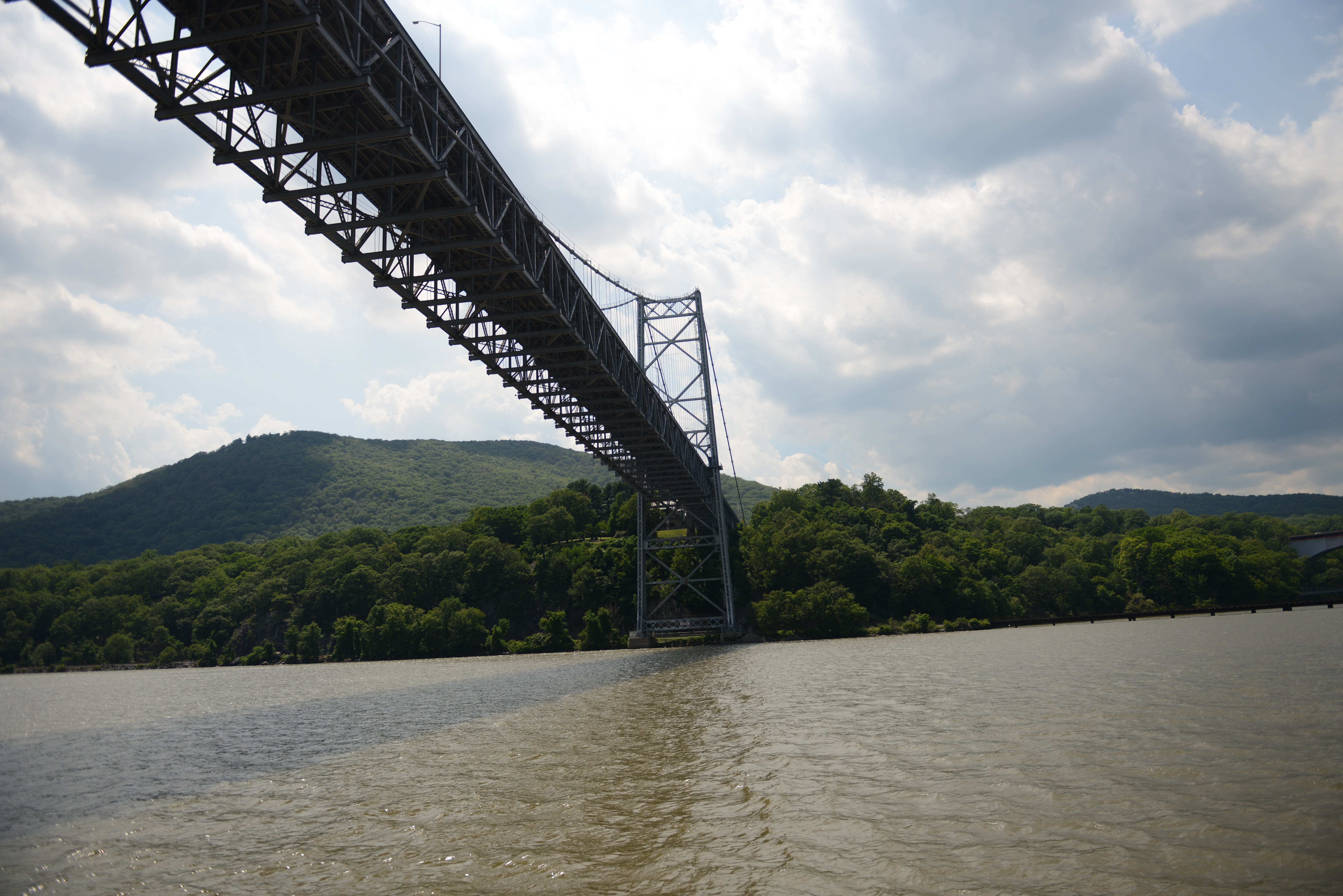
Bear Mountain Bridge is the Hudson River crossing for the Appalachian Trail.
Beyond the bridge is West Point, the US Military Academy that opened in 1802. Here the river is at its deepest; our depth sounder read 174 feet.
In the late afternoon we anchored off Pollepel Island, the site of Bannerman’s Castle. The weather was forecast to be mild and the wind to be calm. Alas, we were under the influence of the Dunderberg goblin and in the shadow of Storm King Mountain; the wind remained brisk, creating white caps on the river, and the night turned too cool for dinner on the flybridge.
A view of Storm King Mountain (a 1,355 ft. peak) from our anchorage.
The wind and the currents tugged and pulled at the Traveler throughout the night. We got up often to check our position as the tide changed and we made a large circle around the anchor. But the hook held like a champ!

The setting sun silhouettes Bannerman’s Castle.
