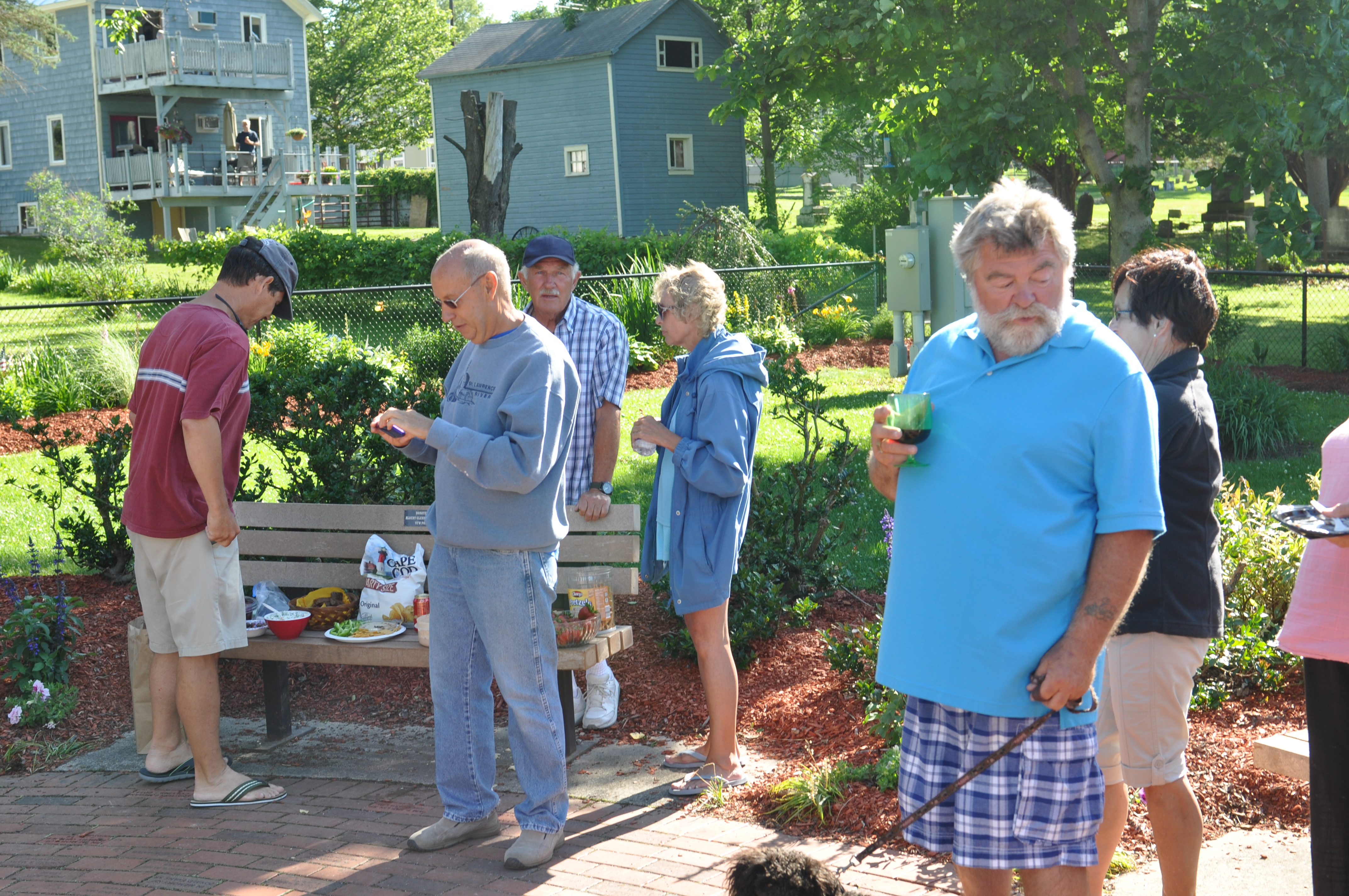
It took eleven days to cruise south down the eastern shore of Lake Michigan to Hammond, Indiana where the Calumet River meets the lake. Only six of those days were actual travel days and the others spent in harbors watching the wind whip the lake’s waters into a froth. Beach alerts were up and down the coast and on those days and we stayed in port, getting to know the towns and the ice cream shops.
We left St. Helena Island at 0830 and by 1030 it became apparent that the predicted storms were traveling faster across the lake than anticipated. As the waves heightened, we altered course to Beaver Island, a delightful, lightly populated island in the north part of the lake that was 20 miles closer than our original destination of Charlevoix, Michigan. The first storm hit as we approached the lee of the island and we slipped through the raindrops north to the protected harbor on the northeast shore.
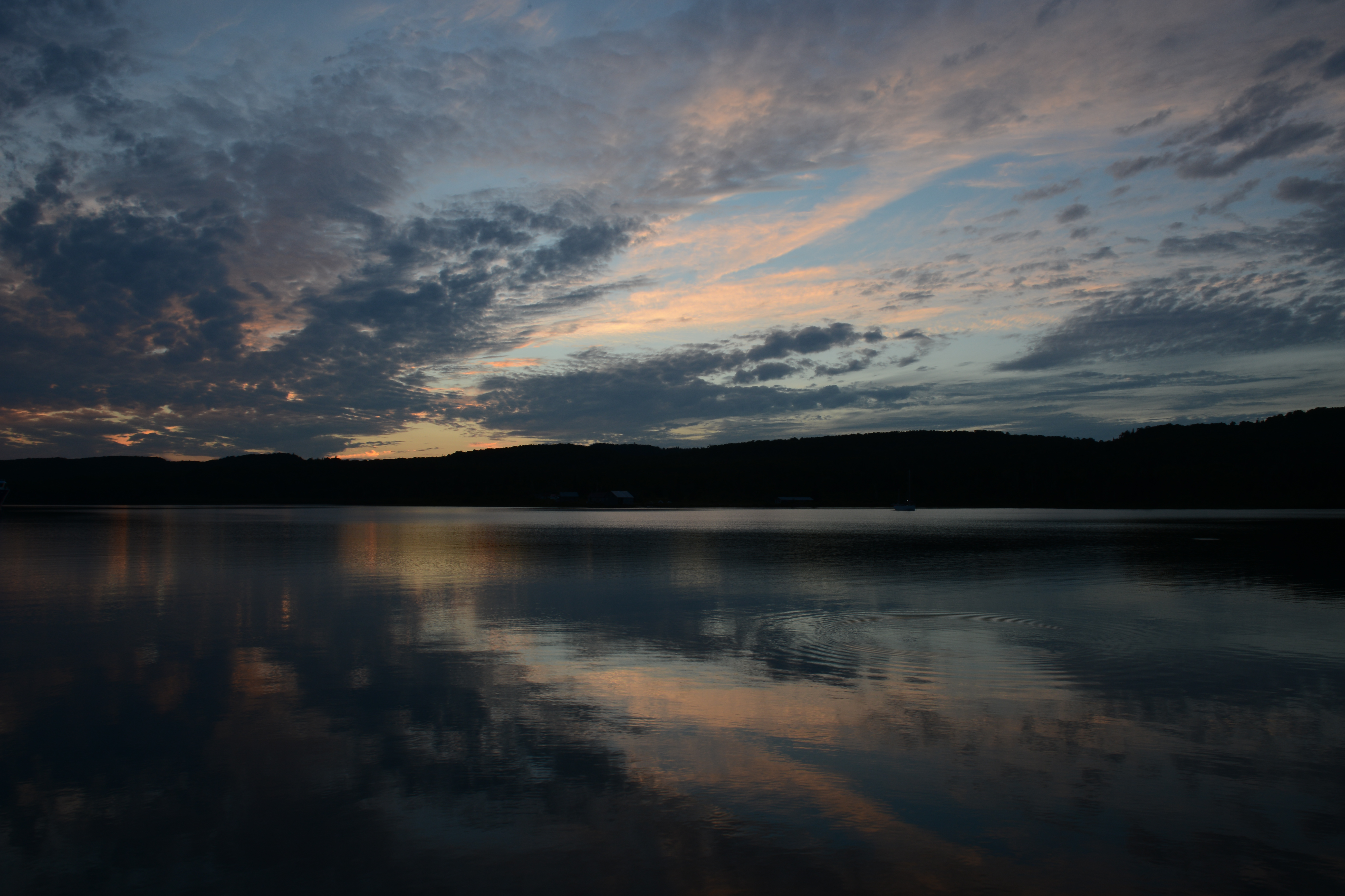
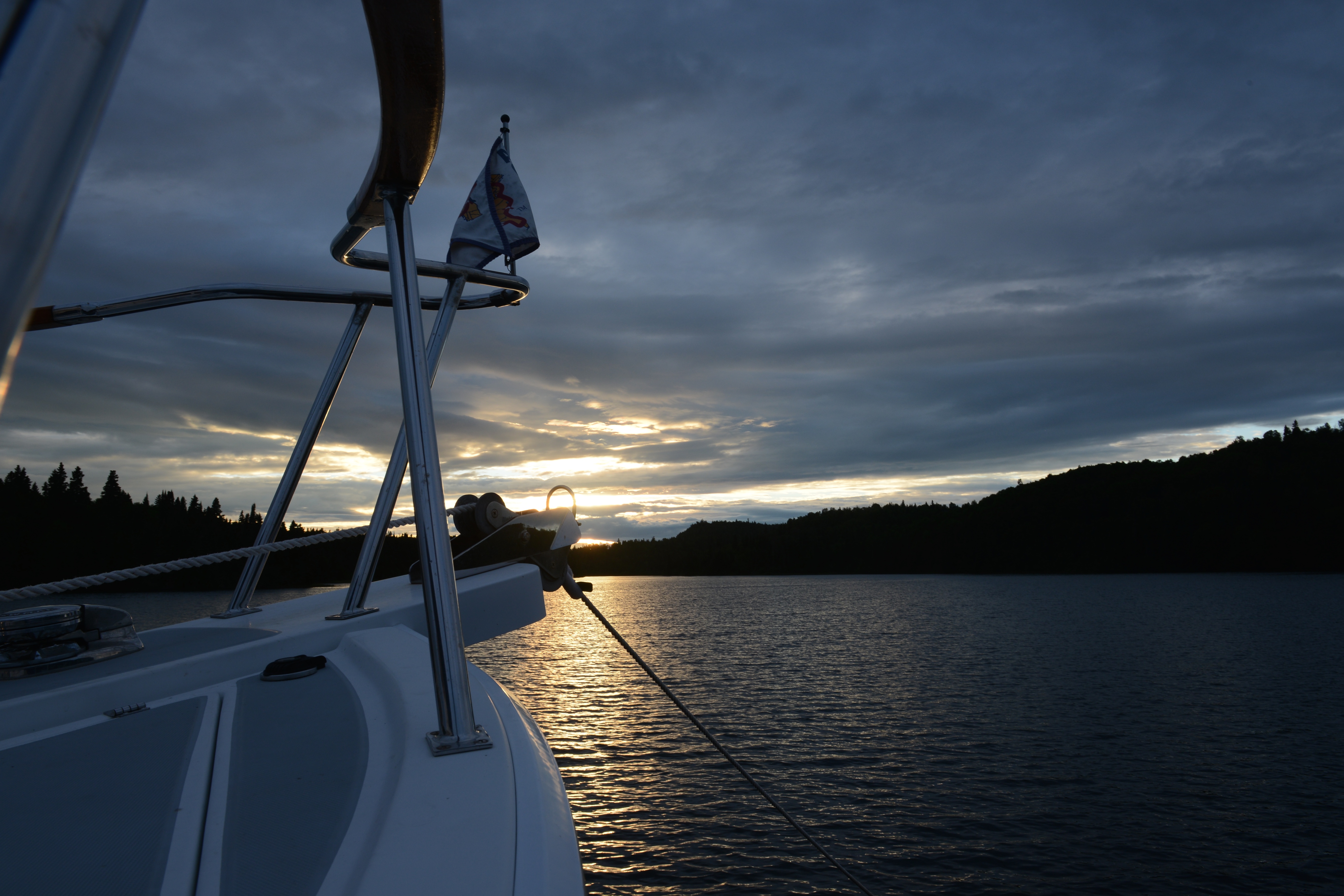
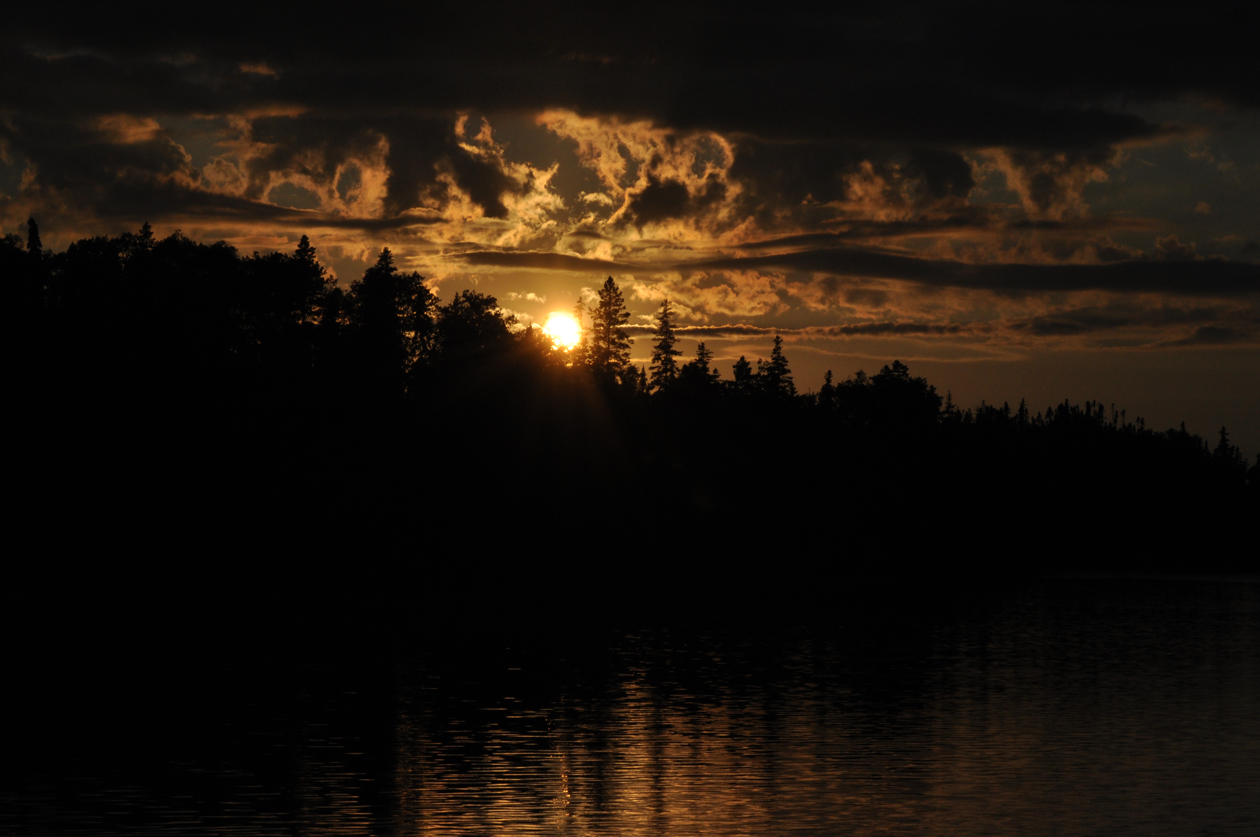
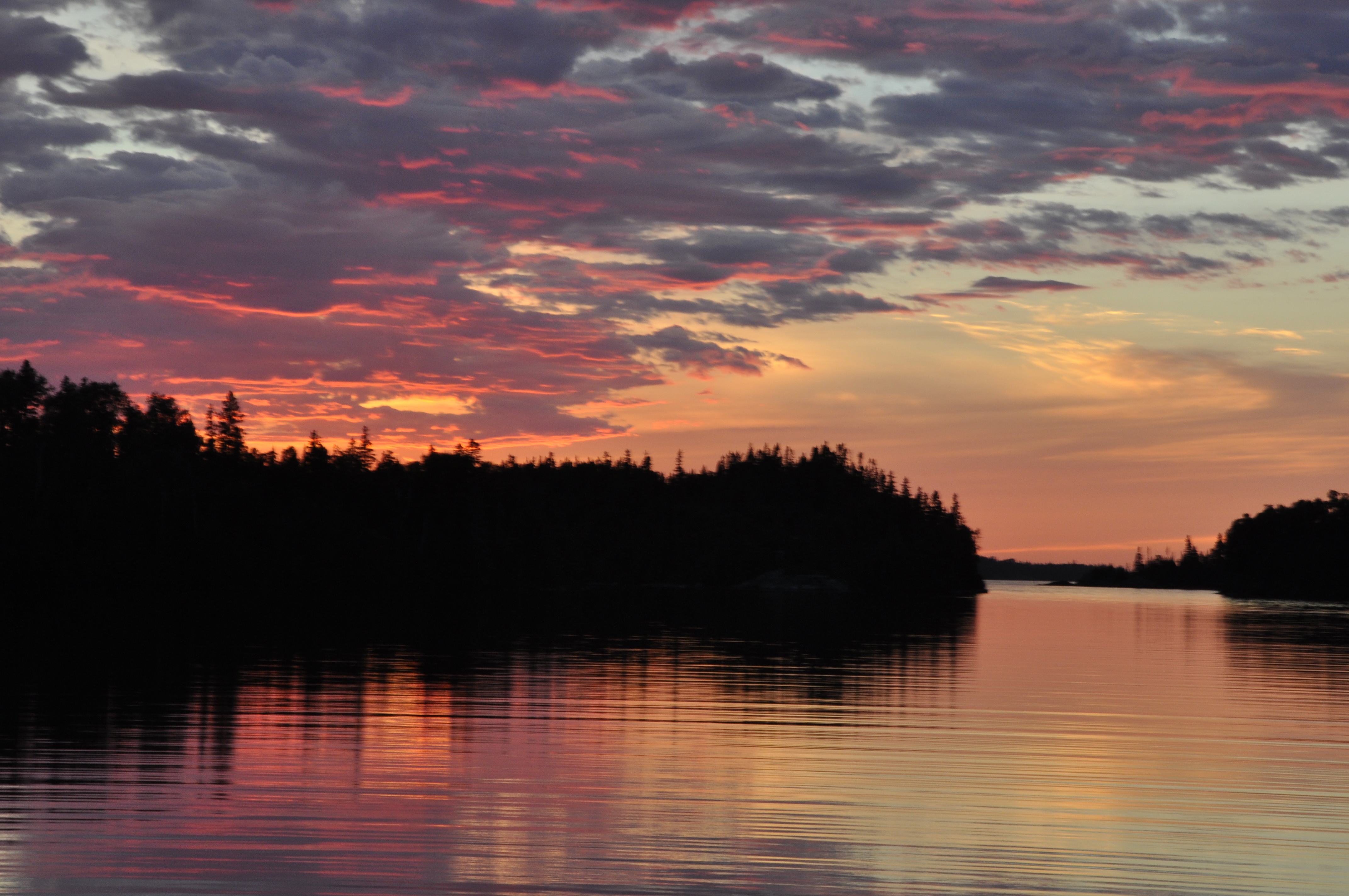
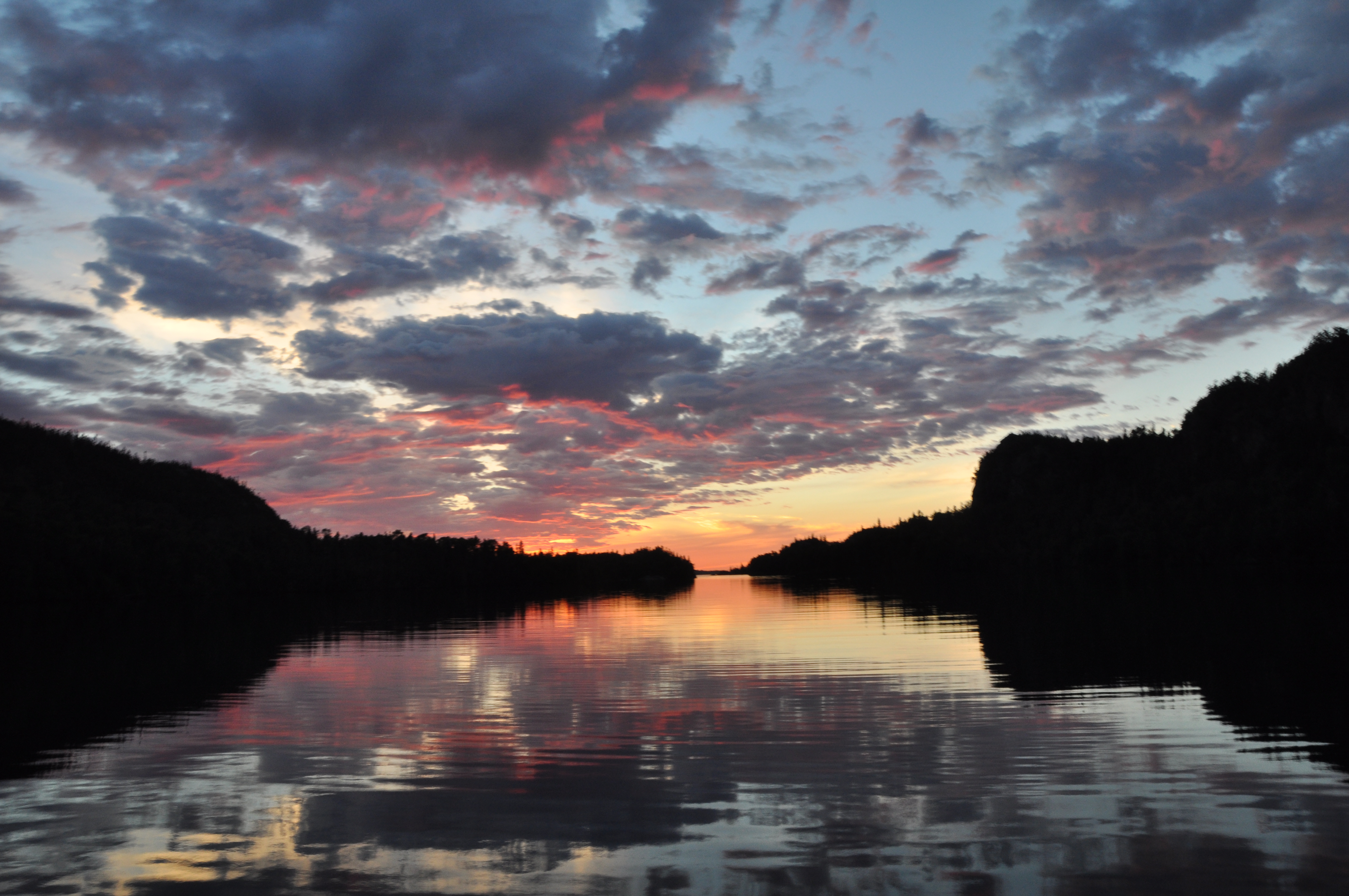
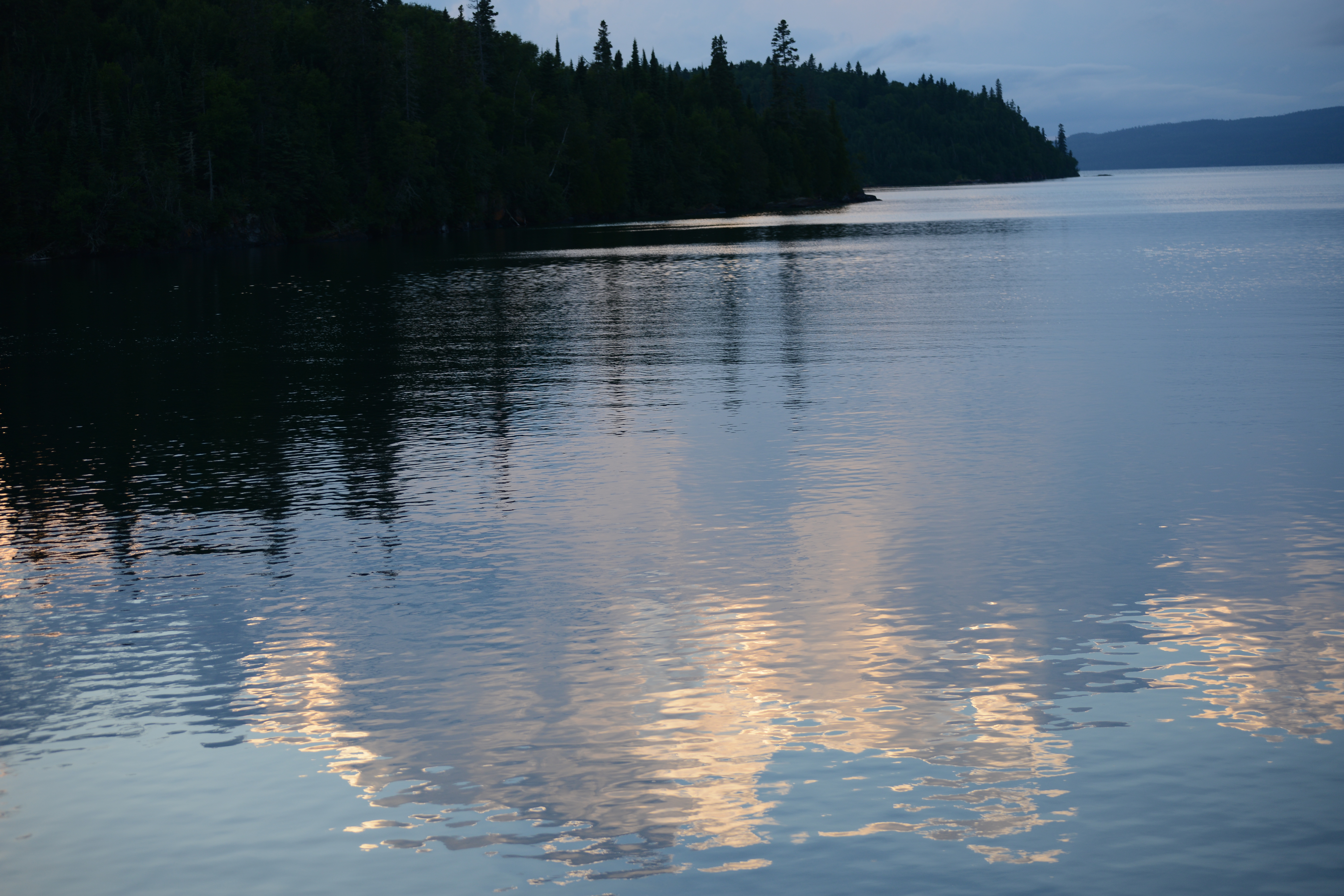
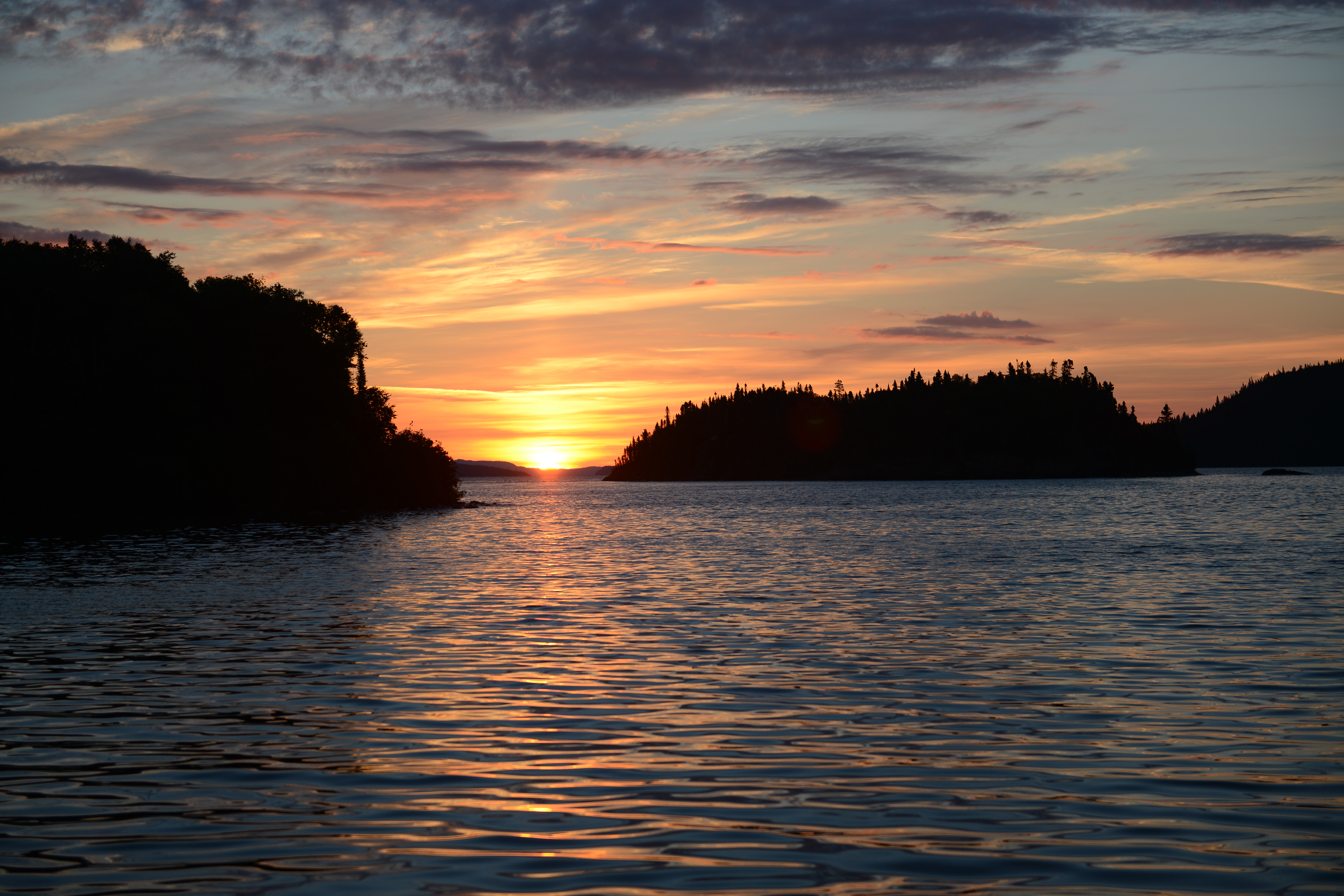
After the storm, the setting sun highlights the cape on Beaver Island.
We sat out two days of high winds and thunderstorms on Beaver Island waiting for a break in the weather. On the third day we dropped our lines at 0600 and cruised 55 miles to Leland Harbor and Fishtown. More storms approached and we took another two days off from our journey. Leland Harbor was once known as Fishtown and many fishing fleets worked the lake from its harbor.
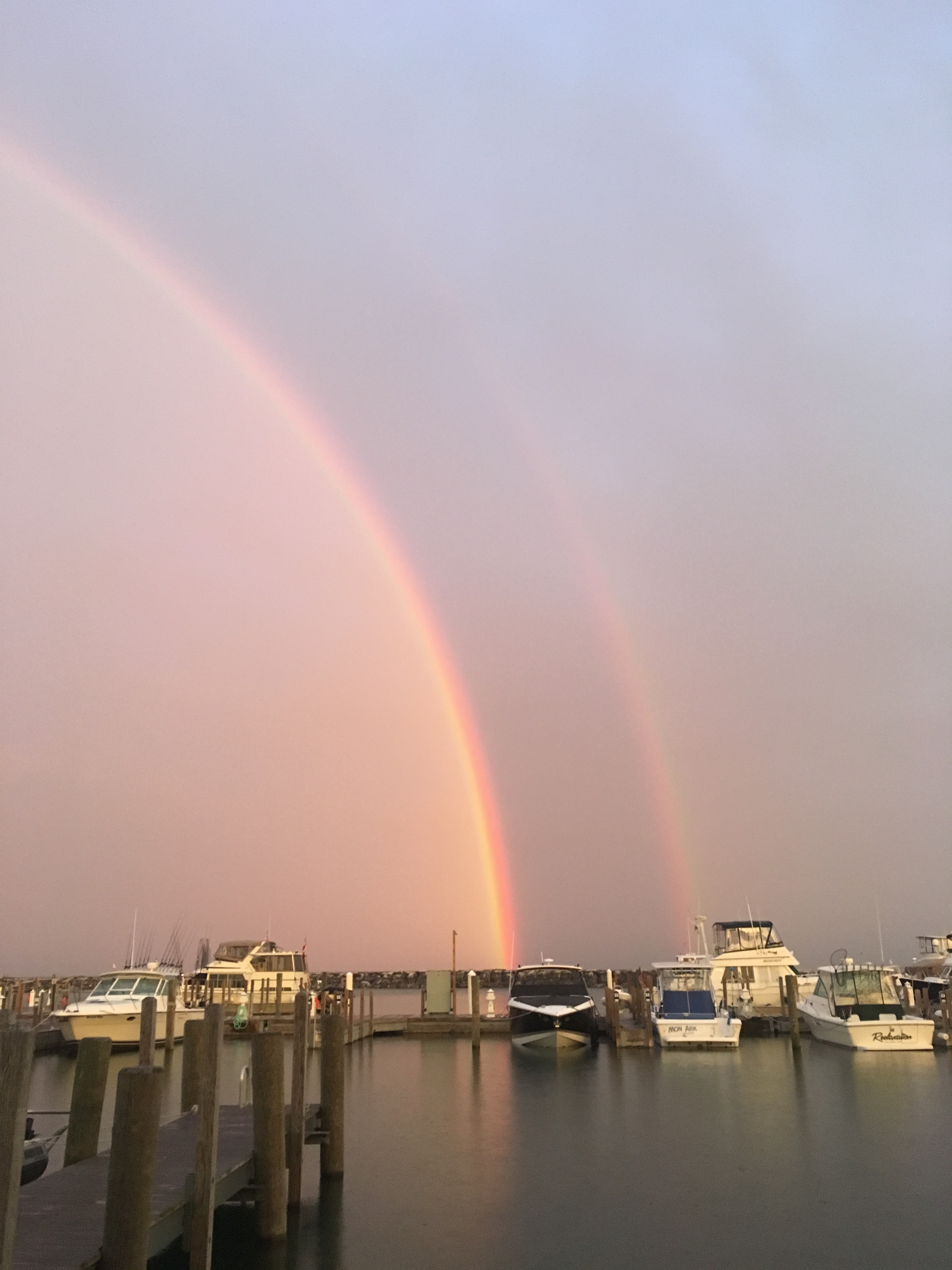
A rainbow between two storms at daybreak; Fishtown, Michigan
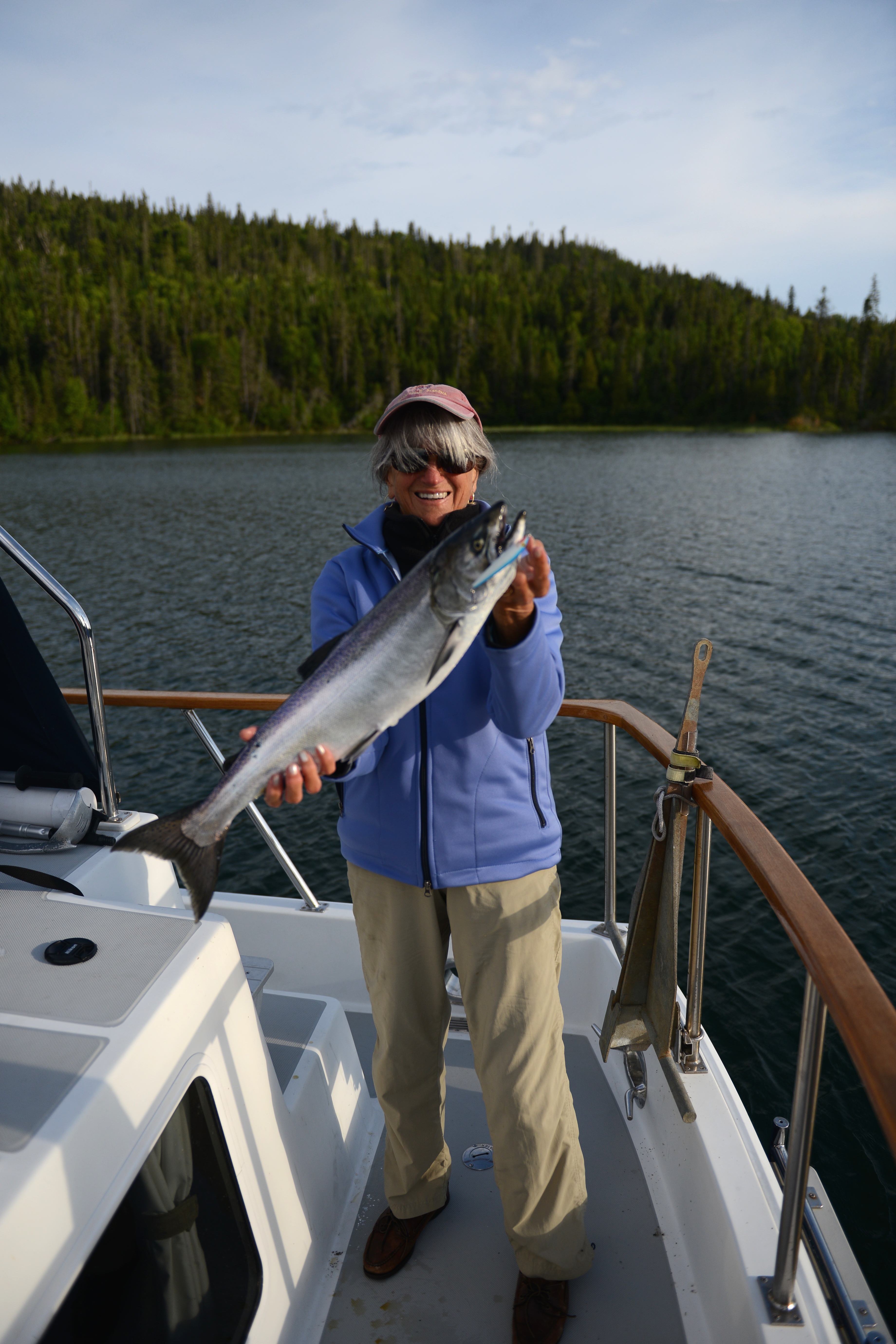
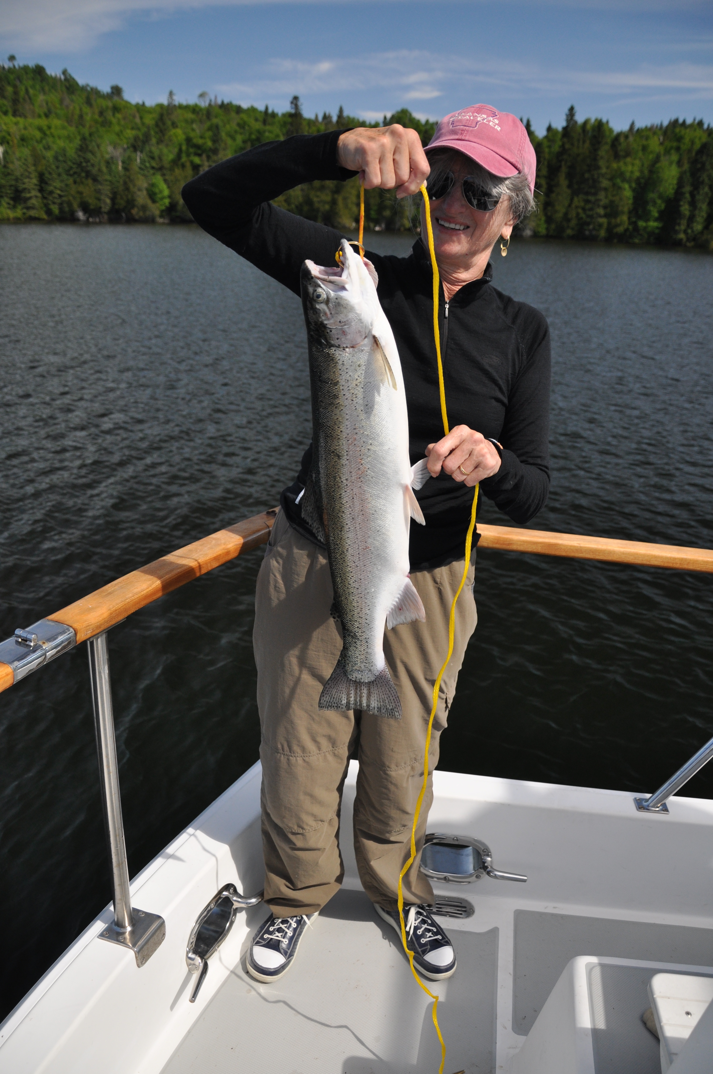
As the weather cleared, we looked forward to several sunny days of glorious cruising amid light breezes. The first run was 63 miles (7 hours) to an excellent anchorage in Portage Lake, a fisherman’s paradise.
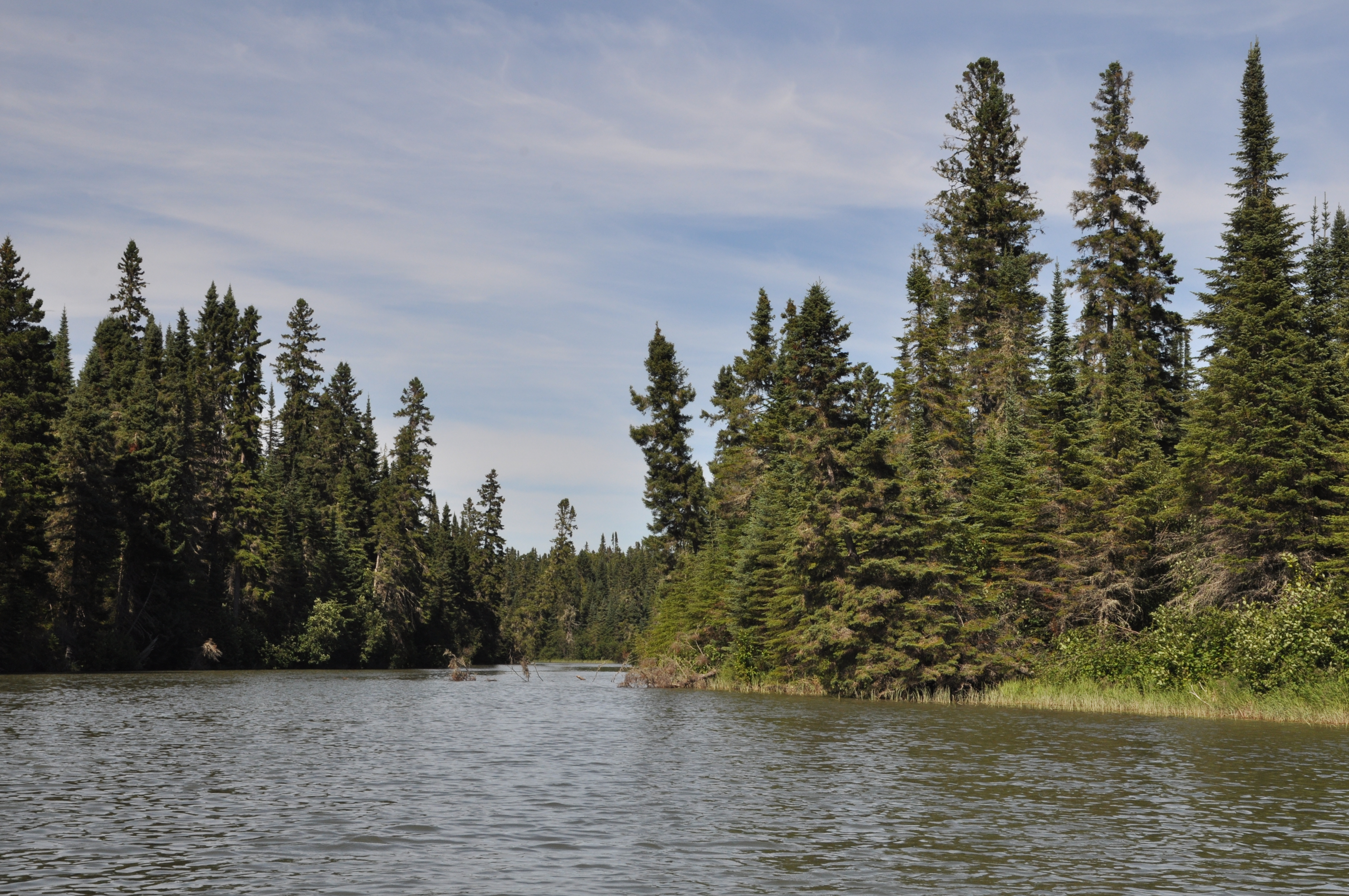
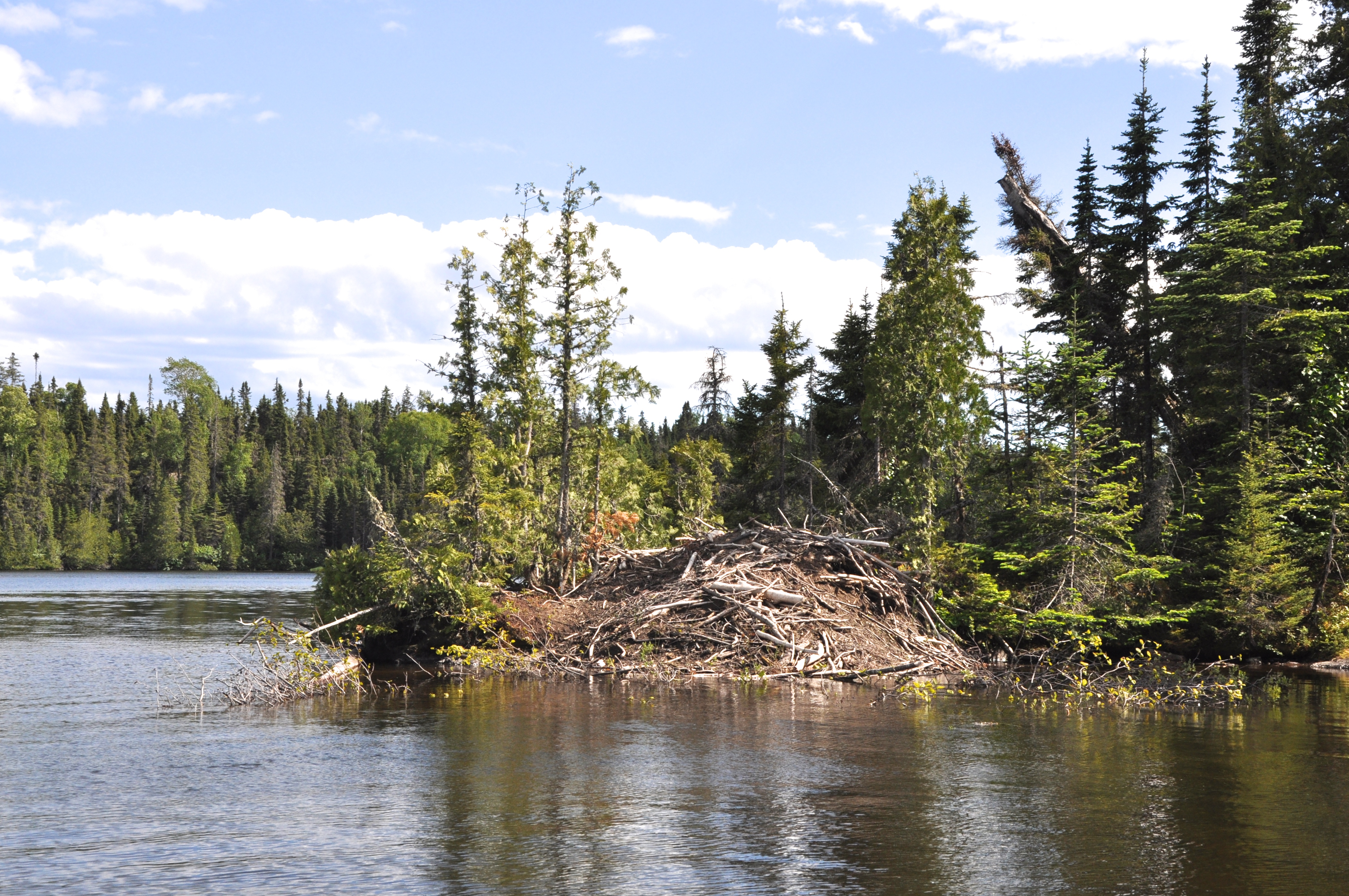
This part of the Michigan coast is lined with large sand dunes with many lakes behind them. Often there are dug inlets back to the lakes to allow for boat access. These are kept open with walls and breakwaters to hold back the sands that would build up across the openings. These harbors of refuge were built with state funding and provide excellent stops for recreational boaters. The lakes have many well protected anchorages with great holding in a sand/mud bottom.
From Portage Lake we visited Pentwater, MI, another lake harbor behind dunes. There we tied up at Snug Harbor Marina for two days while several rainstorms blew through. This is a delightful stop with a great restaurant and a waterside promenade.
The skies again cleared and we piloted 45 miles to Muskegon, Michigan. Here we anchored in the stilling basin, an entry area behind outer breakwaters and before the inlet to the lake behind the dunes.

This chart does not show the breakwaters that protect the stilling basin. We anchored within them yet out of the channel accessing the inlet through the dunes to the lake.
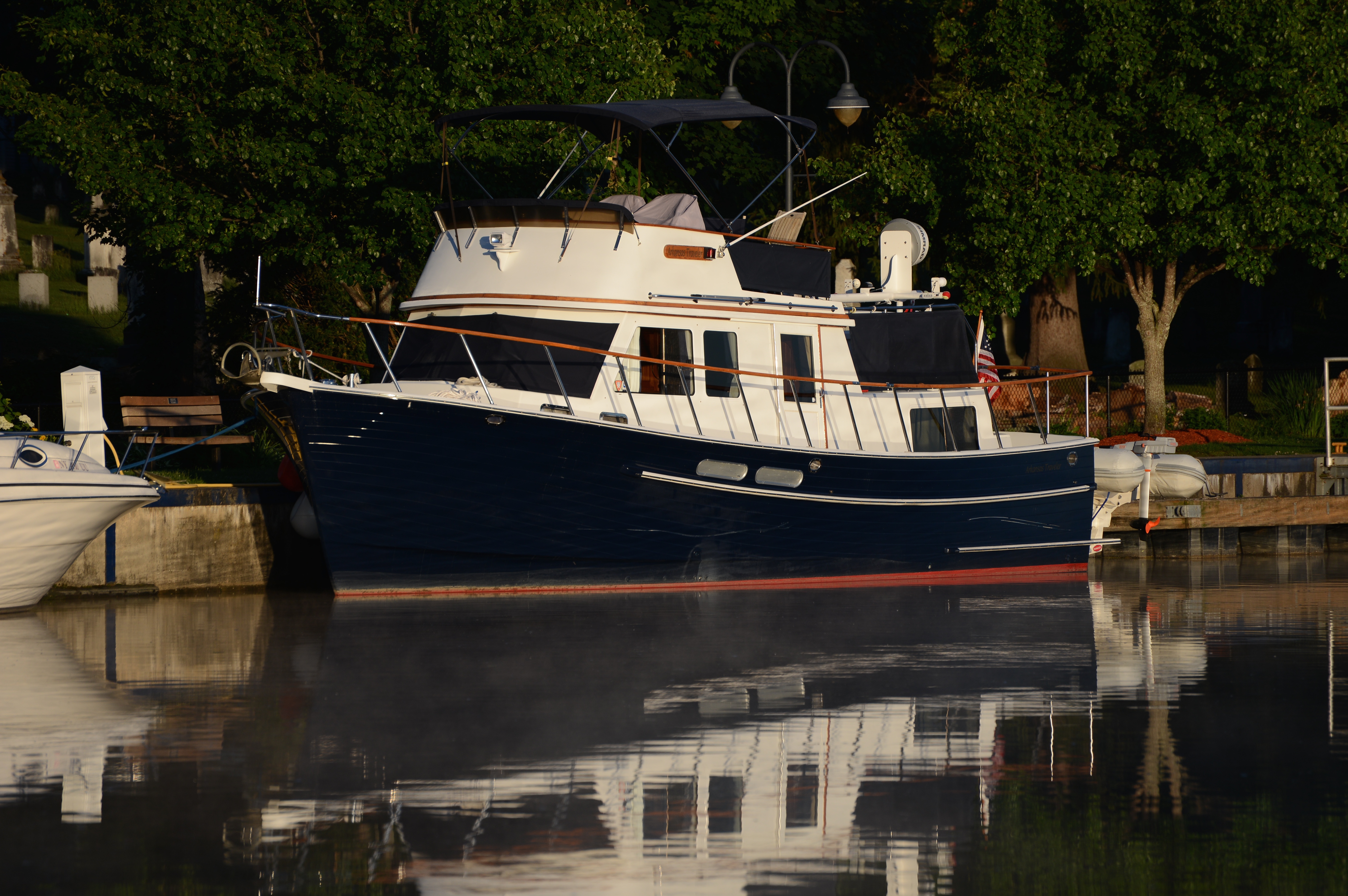
We anchored late on Sunday afternoon behind the north breakwater. Local boaters streamed through the basin, racing homeward from the many beaches along the big lake’s shore. Their raucous wakes had the stilling basin anything but still. Arkansas Traveler rocked and rolled at her anchor until the last of the boaters entered the inlet.
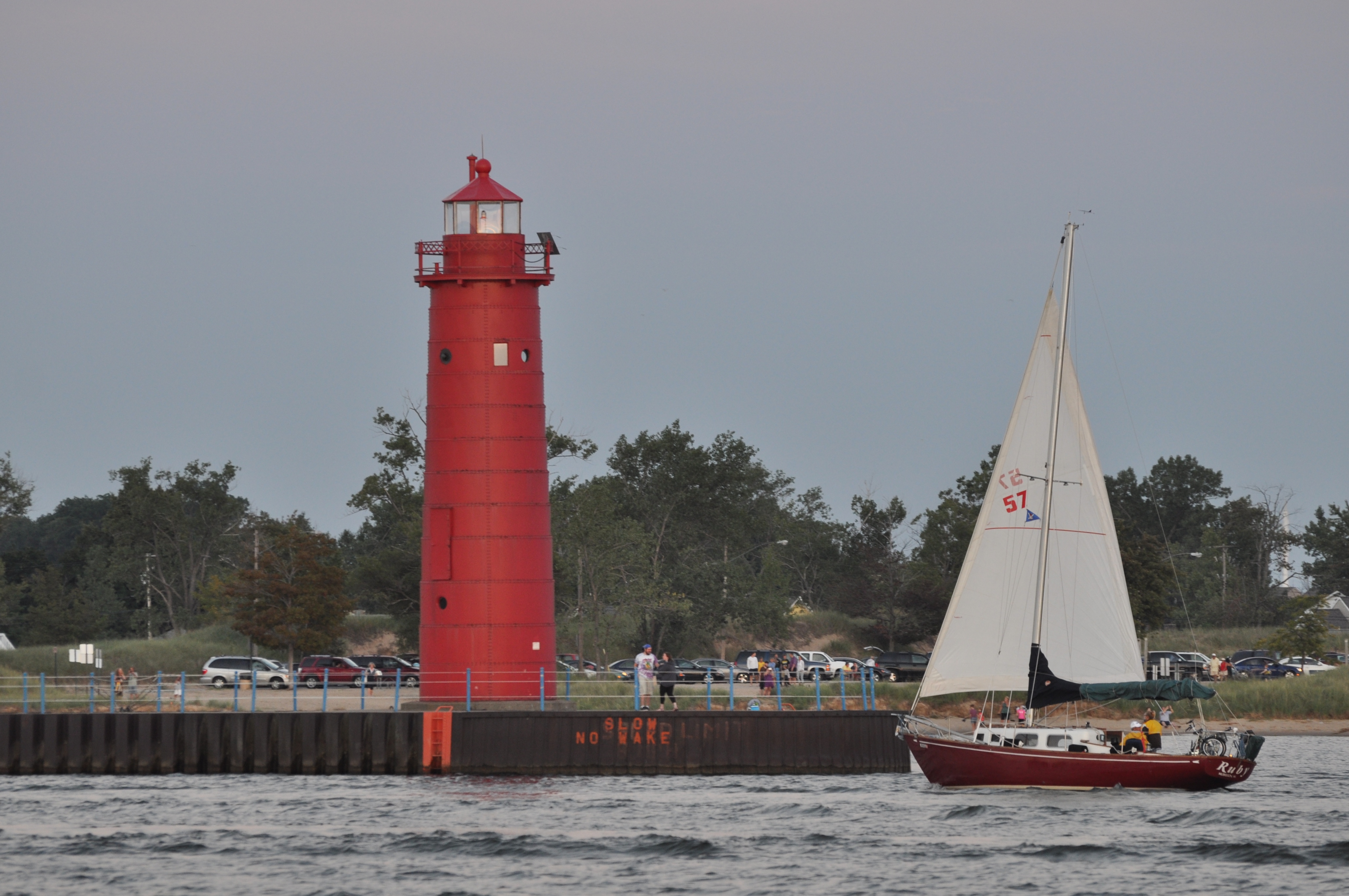
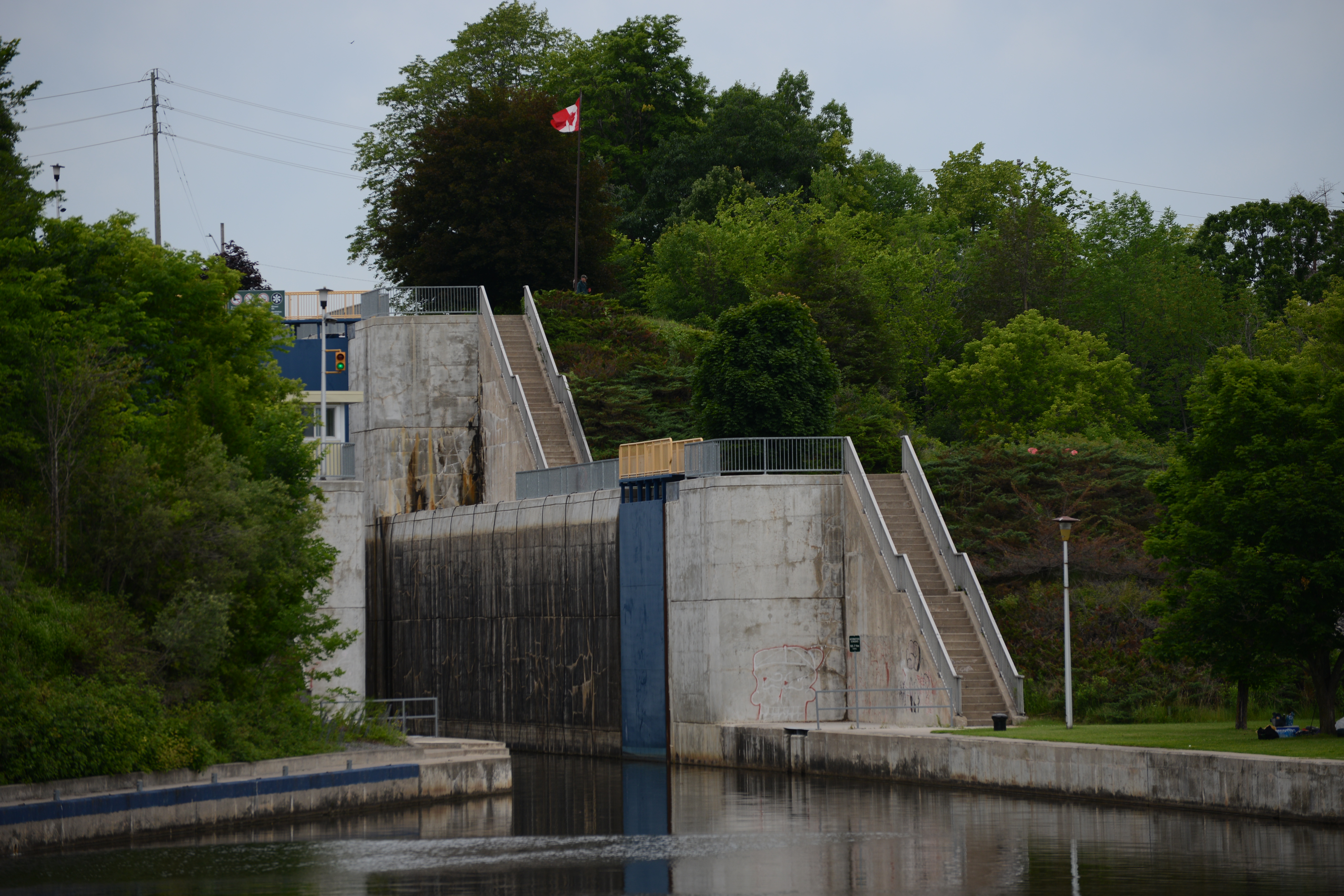
A sailboat enters the walled inlet to the lake behind the sand dunes.
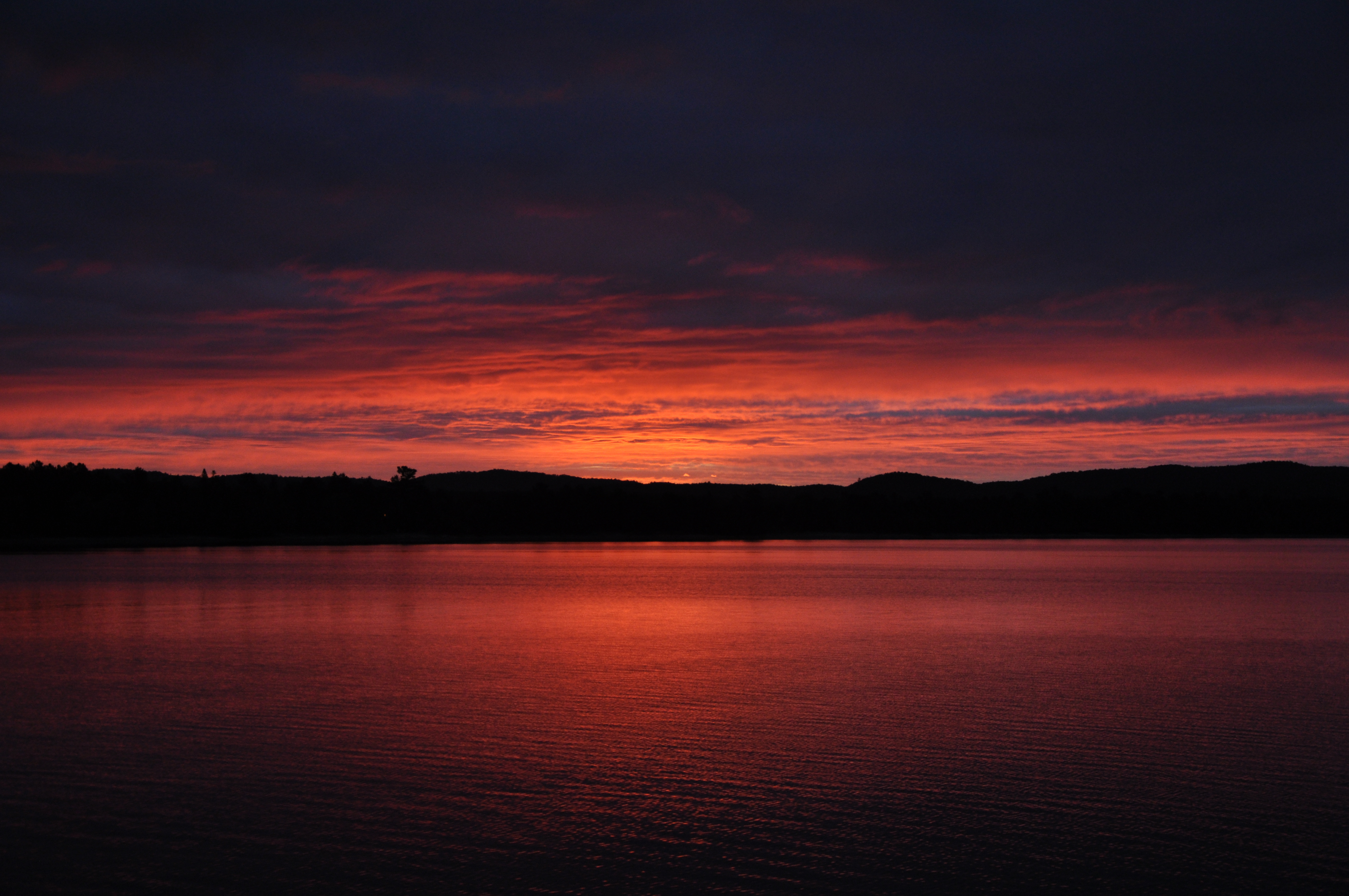
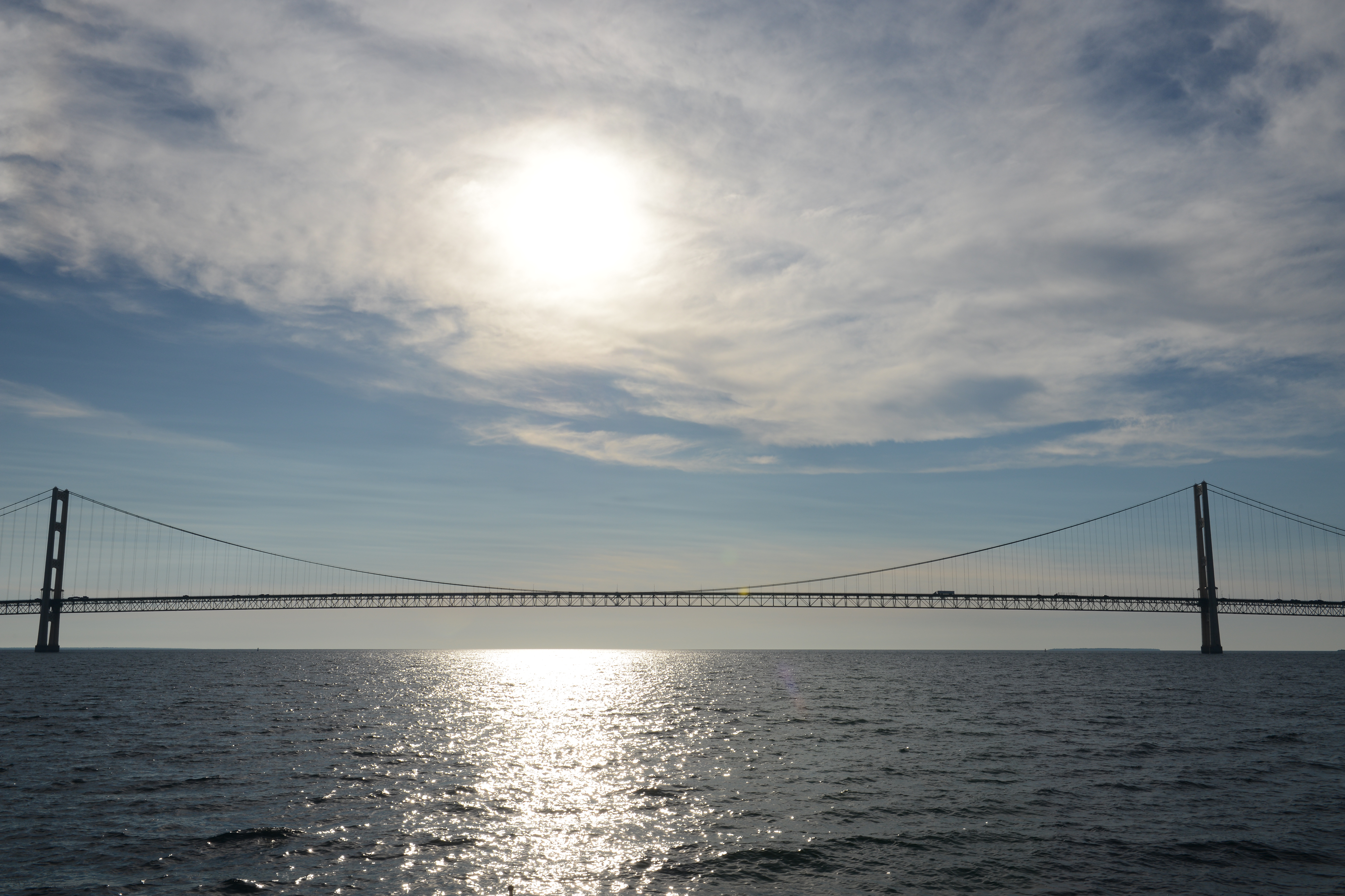
The upcoming weather report heralded light winds and seas of less than one foot. We grabbed the chance to make the 128-mile crossing to Hammond, Indiana, which lies at the bottom of Lake Michigan, just east of Chicago. After a four-hour nap, we raised anchor at 0215 and slipped through the dark into Lake Michigan, setting a course of 200 degrees. We ran for 15 hours across a very friendly lake with mostly clear skies and light winds. We changed our course to 230 degrees for the last 40 miles, entering the Hammond Harbor Marina happy and tired.

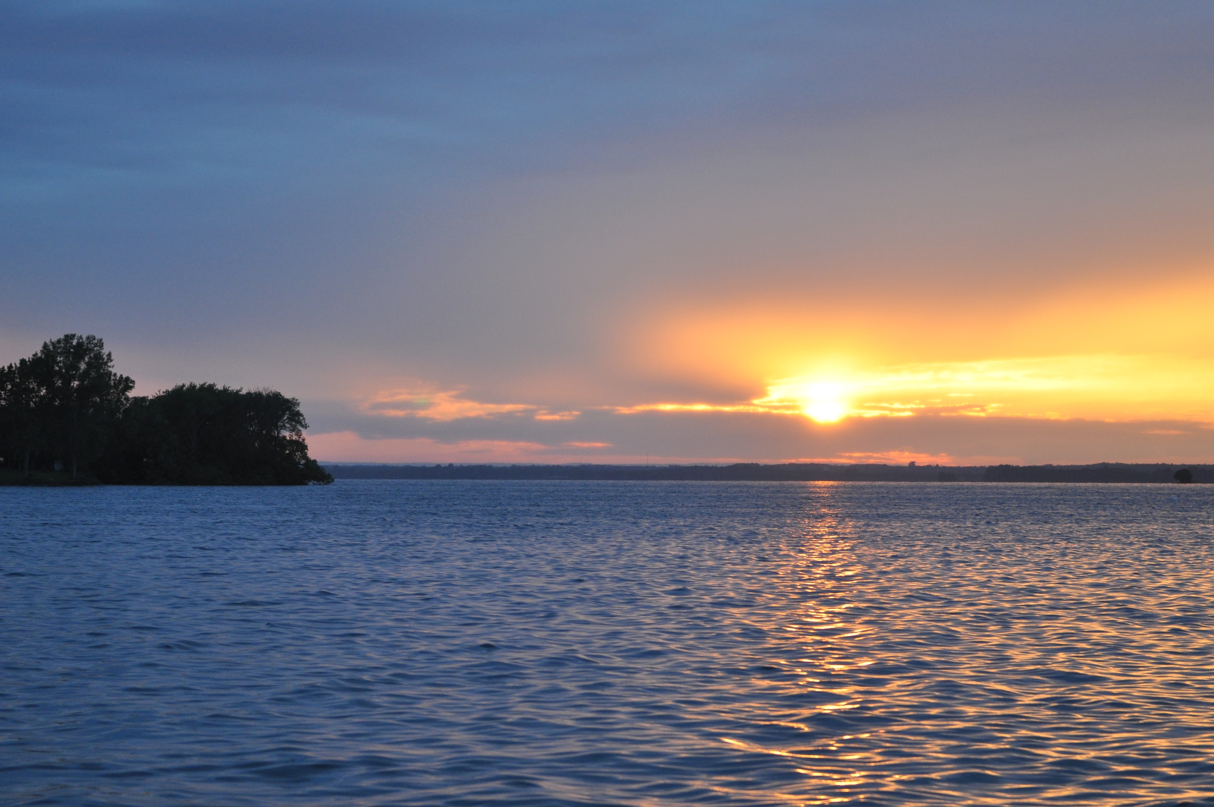
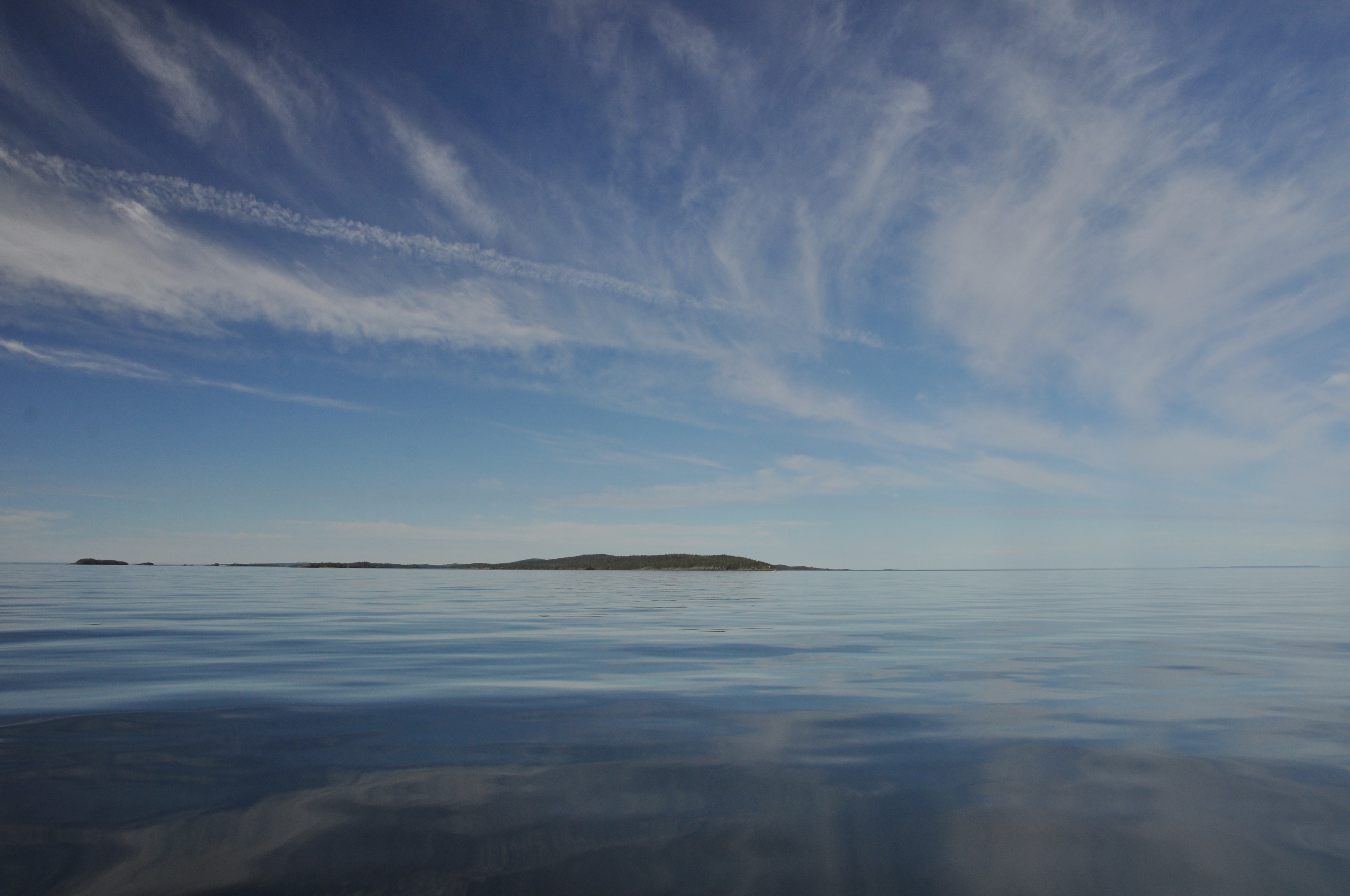
Sunrise on a very calm Lake Michigan


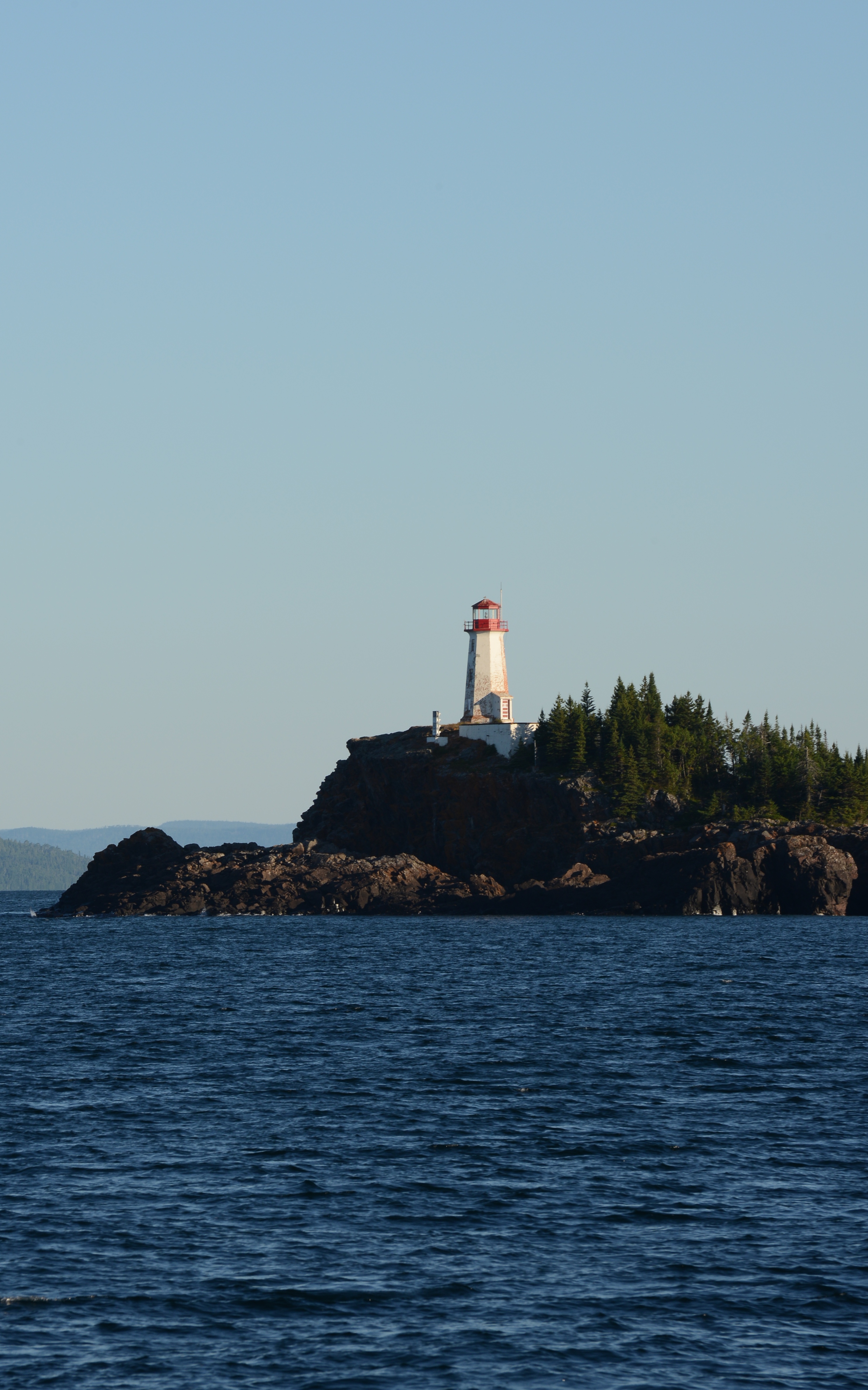


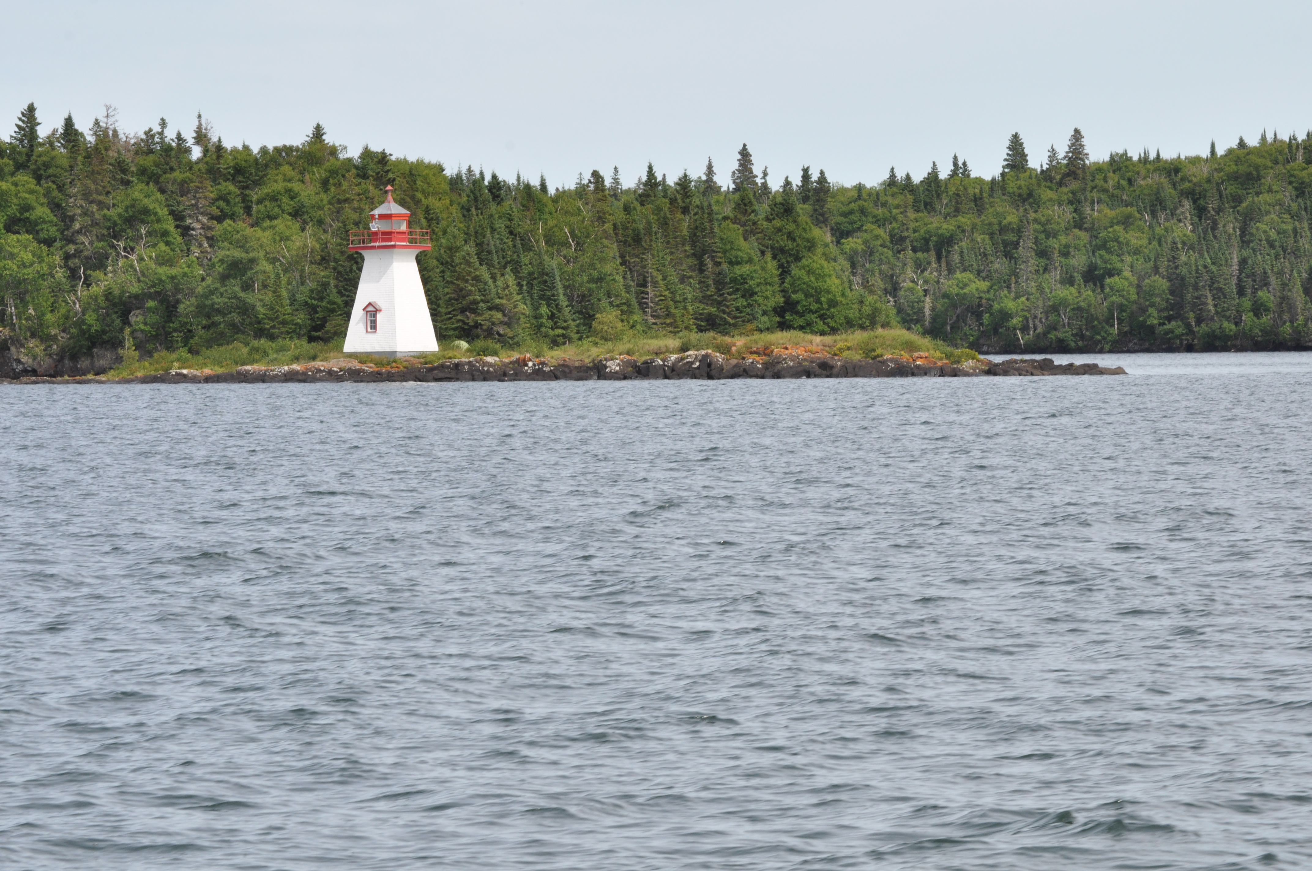


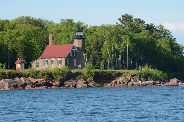
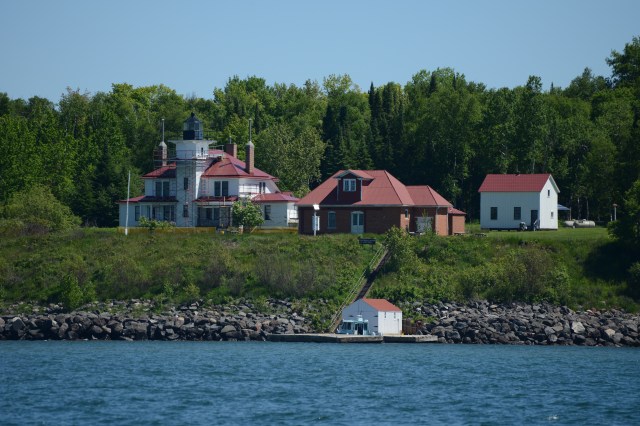 Raspberry Island Lighthouse
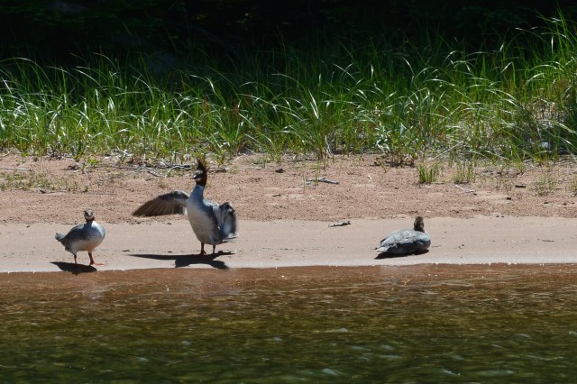
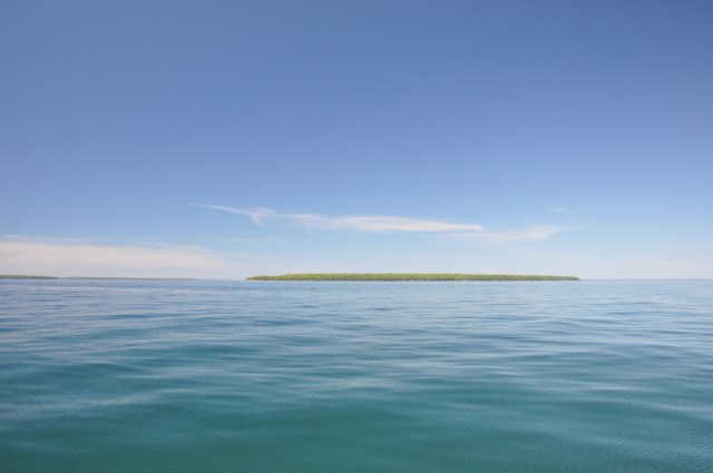 A calm morning for a cruise through the islands…
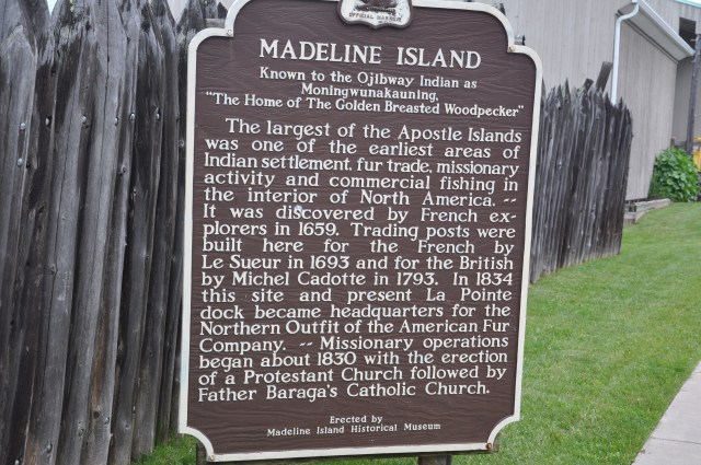
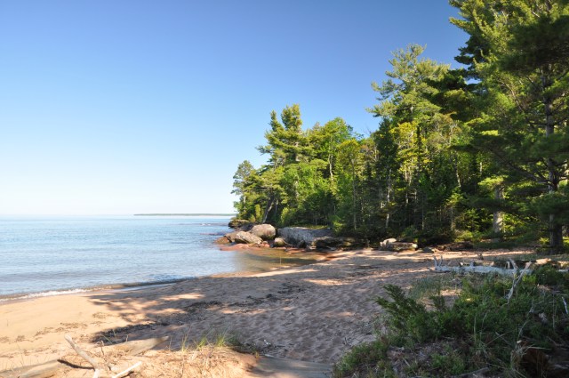 A corner of beach in Julian Bay with a view of Madeline Island to the south.
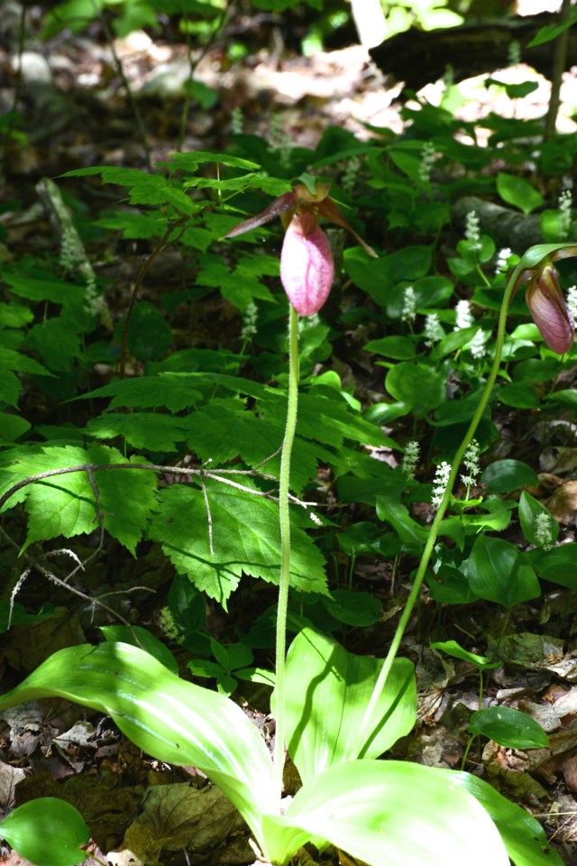
 Too many Pink Lady Slippers to count